Creating Personal Navigation Profiles for Different Survival Environments
You rely on memory, tools, and nature to navigate, but success hinges on matching your approach to the environment. In mountains, use a topographic map and altimeter; in deserts, a compass and GPS handle declination and vast open views. Forests demand frequent compass checks, while coasts require tide timing. Rely on Polaris, sun angles, or landmarks where electronics fail. When weather worsens, slow down and cross-verify direction. Your strategy must adapt-what works in one terrain can fail in another. Fine-tuning these choices sharpens your real-world effectiveness.
Notable Insights
- Assess your mental mapping style to determine if you rely on landmarks, sequences, or spatial awareness for effective navigation.
- Match navigation tools to environment-specific demands, such as altimeters in mountains or sun compasses in deserts.
- Prioritize redundant systems by combining mechanical tools like compasses with natural cues and paper maps.
- Use terrain features-ridgelines, rivers, coastlines-to maintain orientation in low-visibility or featureless environments.
- Adapt techniques to weather and light conditions by slowing movement and confirming direction with multiple sources when visibility drops.
Define Your Personal Navigation Profile
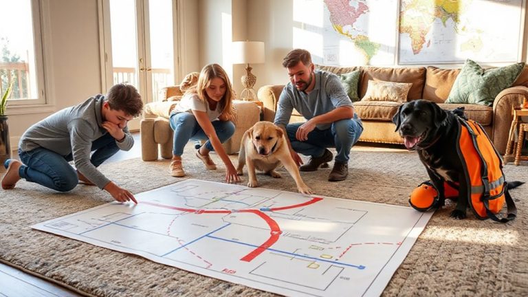
How well do you really know your way around? Your personal navigation profile shapes how effectively you use mental mapping and route memorization in unfamiliar terrain. It’s not about instinct-it’s about how your mind processes spatial information. Some people recall landmarks easily; others rely on sequential directions. You need to assess your strengths: can you recreate a route from memory after one pass, or do you depend on constant cues? Mental mapping varies by individual, affecting accuracy and confidence. Route memorization isn’t just repetition-it’s structured recall under stress. Test yourself in urban and wild settings to see where you succeed or falter. Tools help, but they fail. Your profile determines how well you adapt when GPS dies. Define it honestly. There’s no “best” method, only what works reliably for you, based on measurable performance, not preference. Know your limits.
Match Terrain to Your Navigation Strategy
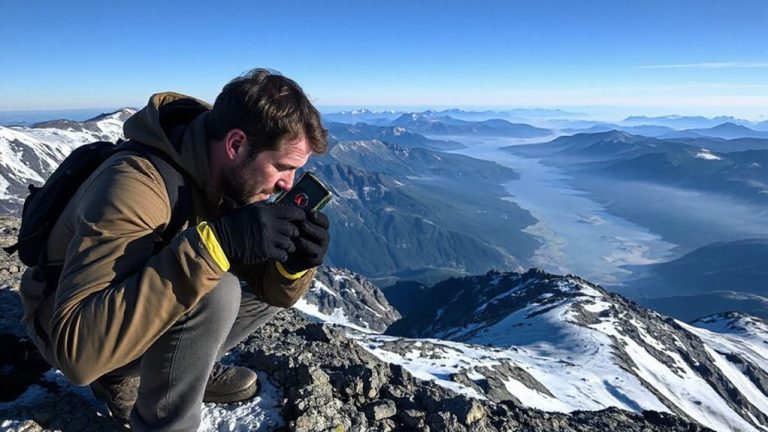
While every terrain tests your navigation skills differently, your strategy should shift based on what the environment demands. In mountainous areas, contour awareness is critical-you must read elevation changes to avoid steep drops and identify passable routes. Flat, featureless deserts require precise compass use, where ignoring magnetic declination leads to significant course errors over distance. Forested regions limit visibility, so relying on terrain association and periodic compass checks keeps you on track. In coastal zones, tides reshape the landscape daily, making real-time adjustments necessary. Urban ruins offer straight paths but disorient quickly without clear landmarks. You need to adjust your pacing and bearing frequency in each. Magnetic declination varies by region, so failing to correct for it skews your heading. Contour awareness helps you match terrain to map even without GPS. Adapt your method to terrain traits-accuracy depends on it. A reliable survival compass is essential for maintaining accurate bearings in all these environments.
Pick the Right Tools for Each Environment
What good is a high-tech GPS when the batteries die in subzero temperatures? Tool selection matters because electronics fail when untested in extreme conditions. Gear matching guarantees reliability across environments. Use proven tools suited to terrain, climate, and mission length. A reliable baseplate compass ensures accurate navigation even when technology falters.
| Environment | Recommended Tool | Reason |
|---|---|---|
| Arctic | Mechanical compass, paper map | Electronics fail in cold; analog works |
| Desert | Solar-powered GPS, sun compass | Long sightlines; sun aids accuracy |
| Jungle | Waterproof map, machete | Dense canopy blocks signals; clears paths |
| Mountain | Altimeter, topographic map | Elevation changes fast; maps show contours |
Always match gear to environment. A GPS helps, but never rely on one tool. Redundancy saves lives. Test gear in practice, not just in theory. Tool selection isn’t about tech-it’s about survival.
Use Sun, Stars, and Landmarks to Find Your Way
When the battery dies and the sky clears, can you still find north? You’ll need to rely on celestial patterns and natural markers. During the day, the sun rises in the east and sets in the west-use its position with your watch to estimate direction. At night, locate Polaris: it sits nearly fixed above true north and is your reference in the northern hemisphere. Celestial patterns, like star movement, reveal direction over time. By day, observe natural markers-moss often grows on the shadier, north side of trees in dense forests, though this isn’t always reliable. Animal trails, river flows, and ridge lines also serve as consistent directional cues. These methods don’t depend on power or signal. They require observation, not gear. You trade precision for resilience. In survival, that trade-off favors simplicity. Practice now. When tech fails, your ability to read sky and terrain becomes your most dependable navigation tool.
Adjust Your Navigation for Weather and Light
You’ve learned to read the sun, stars, and land, but those cues change fast when weather shifts or light fades. When weather patterns turn cloudy or stormy, celestial navigation becomes unreliable-overcast skies block stars, and rain distorts sound and sight. You’ll need to rely more on terrain features and compass use, adjusting pace and route based on visibility and ground conditions. Light conditions at dawn, dusk, or under heavy canopy reduce detail recognition, making landmark identification harder. In low light, contrast and distance perception drop, increasing navigation errors. Overcast days diffuse light, eliminating sharp shadows, which affects solar navigation. You should calibrate your movement to these shifts-slow down when cues are weak, confirm direction with multiple sources, and expect reduced accuracy. Recognizing how weather patterns and light conditions degrade your reference points helps maintain course integrity without overreliance on any single method.
Build Your Custom Survival Navigation Plan
How do you guarantee your navigation method holds up when GPS fails and the trail vanishes? You build a custom survival navigation plan using mental mapping and route visualization. Relying on memory and terrain analysis guarantees you stay oriented when tech fails. Start by studying topographic maps, noting key landmarks, elevation changes, and natural boundaries. Then practice visualizing your route step-by-step, reinforcing your mental map.
| Environment | Primary Tool | Backup Method |
|---|---|---|
| Forest | Compass | Mental mapping |
| Desert | Sun sighting | Route visualization |
| Mountains | Altimeter | Landmark tracking |
| Tundra | GPS | Grid coordinates |
| Wetlands | Map & compass | Trail markers |
Combine tools with practiced skills for reliability. Always test your plan in low-risk settings before depending on it in survival situations.
On a final note
You’ve mapped your skills to terrain, chosen tools that match conditions, and learned to rely on nature when tech fails. A solid navigation profile balances compass precision with celestial cues, adapts to weather and light shifts, and prioritizes reliability over convenience. Real-world testing shows hybrid methods outperform single-system reliance. Your plan works when it’s simple, rehearsed, and built on measurable inputs-like visibility range, tool accuracy, and response time-giving you consistent, practical direction in any survival scenario.