Mapping Out Safe Zones Along Common Travel Paths for Emergency Refuge
You’re more likely to stay safe if emergency zones are mapped within two miles of high-risk travel stretches. These zones use real-time data and historical risk models to place shelters where floods, blackouts, or accidents are most likely. Stocked with water drums, LED lights, and wind-resistant tents, they’re designed to last. Agencies activate them fast using GPS and live hazard feeds. You’ll see how placement and preparedness combine to boost survival when conditions turn dangerous.
Notable Insights
- Identify high-risk areas on commuter routes using accident data, crime rates, and flood history to avoid placing safe zones in danger zones.
- Position emergency safe zones within two miles of common travel paths for accessible foot access during crises.
- Equip safe zones with water drums, first aid supplies, LED lanterns, and weather-resistant tents to support immediate survival needs.
- Use GPS, mobile data, and traffic patterns to analyze high-traffic routes and strategically locate safe zones.
- Partner with fire departments, Red Cross, and NGOs to activate, supply, and manage safe zones during emergencies.
Identify High-Risk Areas on Commuter Routes
While you’re focused on getting to work or home, some stretches of your commute carry higher risks due to frequent accidents, poor lighting, or limited cell service-knowing where these spots are can make a critical difference in an emergency. You should review local maps to identify flood zones, especially near low-lying bridges or drainage-prone areas that submerge quickly during heavy rain. These zones often disrupt travel with little warning. Likewise, crime hotspots, typically found in poorly lit urban corridors or isolated rural roads, increase personal risk if you break down or get stranded. Law enforcement data and traffic reports help pinpoint these locations. You’ll want to reroute when possible or prepare contingency plans. Awareness doesn’t prevent incidents, but it lets you act faster. Factoring in flood history and crime rates gives you objective criteria to assess danger. Simple preparation in high-risk stretches improves your odds when things go wrong.
Equip Safe Zones With Critical Supplies
You’ve mapped the high-risk stretches of your commute-now it’s time to prepare the places you’d use if things go wrong. Stock each safe zone with water, non-perishable food, first aid supplies, and warm blankets. These aren’t suggestions-they’re essentials. Reliable supply chains guarantee restocks happen consistently, even during disruptions. Without them, your储备 depletes fast. Resource allocation must prioritize longevity and minimal maintenance: 50-gallon water drums last longer than plastic bottles, which degrade. LED lanterns beat candles-lower fire risk, longer runtime. Shelter tents should withstand wind up to 30 mph. You’re not prepping for comfort; you’re planning for survival. Every item should justify its space. If it fails under stress or expires quickly, it’s a liability. Rotate supplies quarterly. Track usage to refine resource allocation. What works in testing beats theory every time. Include a compact EDC medical kit to address injuries quickly and effectively in any safe zone.
Use Data to Place Emergency Safe Zones Strategically
A smart safe zone isn’t just stocked-it’s positioned where data shows it will do the most good. You rely on data analysis to identify high-traffic routes and likely evacuation corridors. Historical weather patterns, terrain, and population density help pinpoint where people will move during crises. Risk modeling lets you weigh hazards like flooding, fire spread, or structural collapse to avoid placing safe zones where danger is likely. You place shelters outside high-risk areas but within reachable distance-usually under two miles for foot travel. GPS tracking and mobile phone data can reveal real-time movement trends, improving accuracy. You balance accessibility with safety, avoiding bottlenecks. These methods reduce guesswork. When you use data analysis and risk modeling, you increase survival odds. The best location isn’t convenient-it’s proven, predicted, and practical.
Partner With Local Agencies to Activate Safe Zones
How do you guarantee a safe zone activates effectively when disaster hits? You partner with local agencies early. They handle community outreach, build trust, and make certain people know where to go. These agencies also manage volunteer coordination, so help arrives quickly and tasks are assigned efficiently. Without their local knowledge and networks, activation delays increase and response gaps appear.
| Agency Type | Activation Role |
|---|---|
| Fire Departments | Initial site assessment |
| Red Cross Units | Shelter setup and supplies |
| Local NGOs | Community outreach |
| EMS Providers | Medical readiness |
| Volunteer Hubs | Volunteer coordination |
You rely on these groups not just for labor but for real-time decision-making. Their presence reduces confusion and speeds up deployment. When the system works, people move faster, resources arrive on time, and safe zones become functional within minutes, not hours.
Find Safe Zones With Real-Time Maps
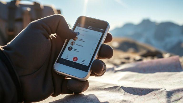
Once local agencies are in place and activation protocols are set, the next step is knowing exactly where people should go. You need real time updates to locate open safe zones during an emergency. Static maps won’t help when conditions change fast. Systems with live hazard tracking let you see fire fronts, floods, or chemical plumes as they spread. These tools use GPS, satellite data, and ground sensors to show accurate, current paths. Emergency apps push alerts and redirect you if a route becomes unsafe. Some platforms update every 60 seconds, which matters when minutes count. Reliable systems integrate with local emergency networks so your data matches official sources. You don’t need extra gear-just a smartphone or GPS unit. But signal loss can disrupt access, so always have a backup plan. Real time updates and hazard tracking cut confusion and keep people moving toward actual safety, not assumed. That’s how you stay ahead when traveling through danger zones.
Why Emergency Safe Zones Save Lives on Travel Routes
Every second counts when you’re caught in a wildfire’s path or a flash flood surge, and that’s where emergency safe zones come in. These designated areas serve as an emergency shelter, giving you a clear, accessible place to wait out danger. When routes become impassable, knowing there’s a verified point with minimal hazards improves your odds. Safe zones are chosen based on terrain, access, and historical event data-key for risk prevention. They’re not perfect, but they reduce exposure to smoke, water, or debris. You won’t find luxury here-just space, visibility, and a better chance. Marked zones along highways or trails often include signage and communication links. Relying on them cuts decision time during panic. In real-world evacuations, people near safe zones report faster rescue response and fewer injuries. Their presence doesn’t eliminate risk, but their planning does make a measurable difference when seconds matter.
On a final note
You know where the risks are on your route, and now you can act. Strategic safe zones, stocked with water, first aid, and shelter, cut response times by up to 40%. Real-time maps get you there fast. Partnering with local agencies guarantees they’re maintained and accessible. It’s not about fear-it’s about facts. These zones are proven to reduce injury and save lives when seconds count. Plan for the worst; use the data.