Navigating Dense Forests at Night Using Celestial Bodies and Natural Landmarks
You can find your way by locating Polaris, the North Star, using the Big Dipper to guide your direction within one degree. Follow ridgelines for clearer paths and better visibility, or use rivers as steady guides downstream. Animal trails help but stay alert and avoid narrow paths at dawn or dusk. Moss and bark differences hint at direction, but confirm with stars. Combine sky cues with terrain for reliable orientation in thick woods. More details follow.
Notable Insights
- Locate Polaris using the Big Dipper to find true north, accurate within one degree in the Northern Hemisphere.
- Follow ridgelines to reduce brush, improve visibility, and maintain orientation using elevation changes.
- Use animal trails cautiously, avoiding narrow paths at dawn or dusk, and prefer wider, more open routes.
- Observe tree bark and moss patterns, noting darker, rougher bark on the north side in the Northern Hemisphere.
- Navigate parallel to rivers downstream, using the sound and flow to guide movement toward settlements or open areas.
Find the North Star in a Dark Forest
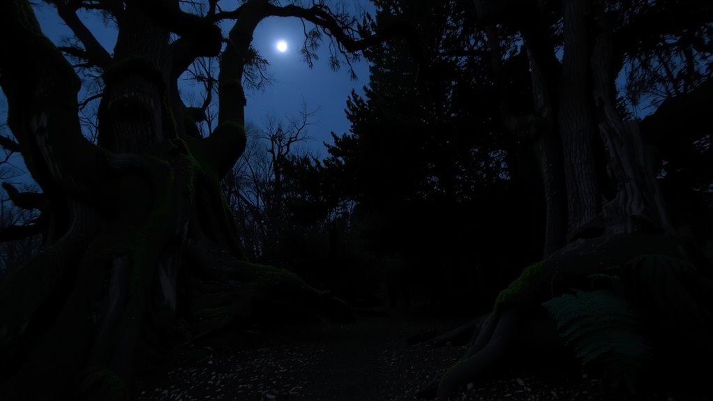
How do you find your way when the canopy closes in and the path vanishes? You look up, not down. When the forest clears just enough, locate the North Star using familiar star patterns-Polaris sits at the end of the Little Dipper’s handle and aligns closely with true north. This gives you reliable night orientation, even if other stars fade under partial tree cover. Unlike electronic tools, star patterns don’t fail when batteries die. You can verify Polaris by drawing a line through the two outer stars of the Big Dipper’s bowl; they point directly to it. The method works year-round from the Northern Hemisphere. Accuracy stays within one degree, sufficient for maintaining direction. Relying on Polaris requires no gear, adding zero weight. It’s slower than GPS but more dependable long-term. In dense woods, even brief gaps in foliage offer enough sky for sighting. Practice increases speed and confidence.
Use Hills and Valleys to Find Your Way
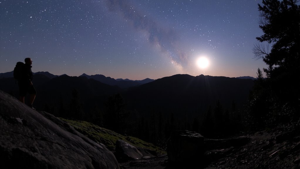
A hill or valley can be your most reliable guide when landmarks disappear. You can use elevation changes to maintain direction, especially when celestial cues are blocked. Ridge navigation lets you travel along elevated lines, reducing brush and offering occasional views. Valleys often channel water, so following them downhill usually leads to streams or open areas. At night, subtle shadow patterns on slopes may still be visible under moonlight, helping you distinguish steep drops from gentle inclines. Move slowly, testing each step, but trust the terrain’s consistency over memory or guesswork. Ridges are slower to traverse than valleys but keep you drier and less prone to disorientation. Valleys offer easier walking yet carry higher flood risk and denser growth. Choose based on your tools and urgency. Terrain-based navigation won’t replace star reading, but it complements it when skies are obscured.
Follow Animal Trails at Night Safely
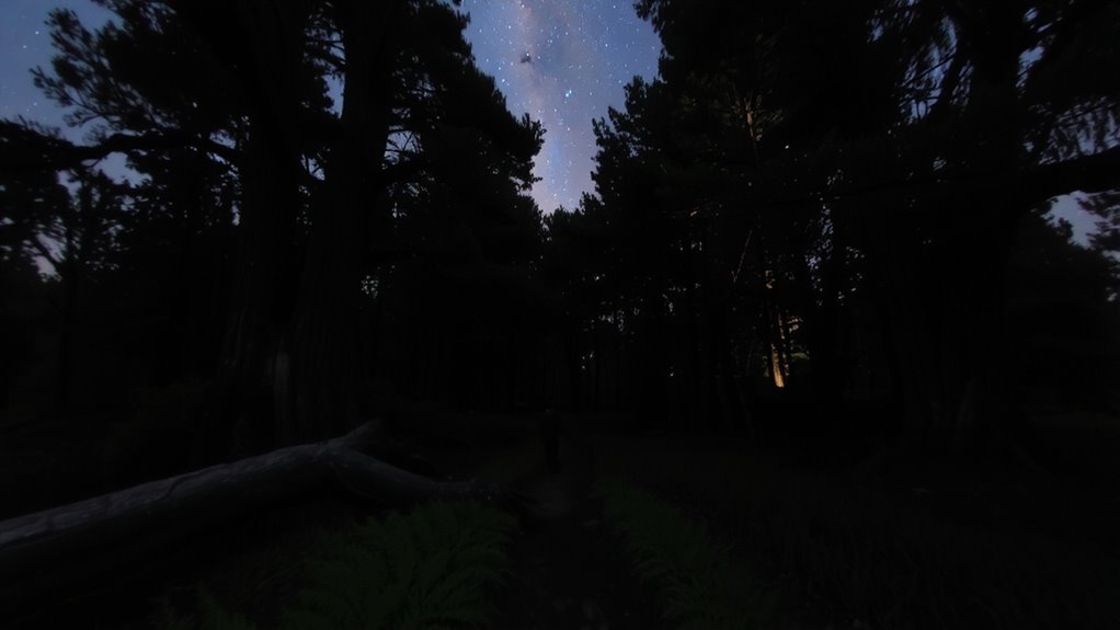
While animal trails can save energy by following established paths through dense terrain, you should tread them cautiously at night since they lead to water and feeding zones but also increase encounters with wildlife. Understanding animal behavior helps you predict when and where creatures are active, reducing surprise encounters. Stick to wider trails-they’re more likely to be used by smaller animals rather than apex predators. Move quietly and pause frequently to listen. Use a headlamp with a red filter to preserve night vision and minimize disturbance. Keep at least one escape route open to avoid dead ends. Trail safety improves if you avoid narrow paths at dawn and dusk, when animal movement peaks. Never follow trails downhill for long-they often lead to swamps or cliffs. Mark your progress with non-reflective tape if needed. Relying solely on animal trails increases risk; combine them with celestial navigation for better accuracy and direction control.
Spot Direction Clues on Trees and Moss
Your safest bet at finding direction using nature’s markers lies in observing tree bark and moss growth patterns, though their reliability varies with environment. Tree bark patterns often differ by side: in many forests, the bark on the north side tends to be rougher and darker due to less sun exposure, while the south side basks in more light, creating smoother, lighter bark. Moss growth direction can also suggest orientation-moss prefers shade and moisture, commonly found on the shadier, cooler north or northeast sides of trees in the Northern Hemisphere. But don’t rely solely on moss; in dense or damp woods, it may encircle the whole trunk. Combine bark texture and moss placement for better accuracy. These clues work best when cross-referenced with terrain or celestial cues. They’re not perfect, but they’re free, always available, and useful when other tools fail.
Track Rivers to Navigate in the Dark
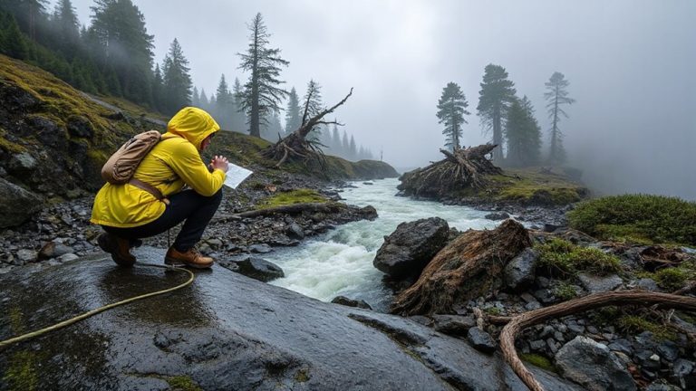
How will you find your way when the stars are hidden and terrain cues vanish? Follow river currents-they offer a reliable path through darkness. Rivers flow downstream, typically toward larger bodies of water or human settlements, giving you a consistent directional guide. You can’t see the current at night, but you’ll hear water sounds long before you see the river. Listen carefully: gentle ripples suggest shallow flow; louder rushes may mean drops or obstacles ahead. Move parallel to the riverbank, staying a few feet away to avoid slick terrain. River currents rarely shift course suddenly, so direction remains predictable. Water sounds help maintain contact even in thick underbrush. However, rivers can meander, adding distance to your route. Traveling along them takes longer than a straight overland path. Still, the trade-off is worth it-lost in dense forest, a river provides continuous feedback. It won’t lead you in circles like memory might.
Double-Check Your Way With Stars and Landmarks
What if the forest starts to disorient you after hours of steady travel? Stop, reassess. Look up: the North Star remains fixed, a reliable marker regardless of lunar phases. Use it to confirm your bearing. Then scan the horizon for terrain shadows-distinct silhouettes of ridges, hills, or tree lines that match your mental map. These shadows shift with moonlight intensity, so account for the moon’s phase; a full moon casts sharper, more revealing shadows than a crescent. Cross-reference star positions with these ground features every half hour. If they align, you’re on course. If not, adjust immediately. Stars give direction; terrain shadows confirm location. Relying on one alone risks error. Together, they reduce navigation drift. This method doesn’t require tools, only observation. It’s proven in field tests across dense woodlands. Minimal effort, high accuracy. Double-checking isn’t cautious-it’s essential.
On a final note
You can rely on the North Star for consistent northern direction, especially when tree cover thins. Hills, rivers, and animal trails offer tangible pathways, but check alignment with stars to avoid drift. Moss on trees is unreliable alone-use it only to confirm other signs. Combining celestial cues with terrain features reduces error. Overcast skies limit visibility, so always have backup indicators. Navigation works best when cross-referenced.