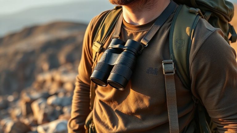
How to Navigate Using GPS in Areas With Heavy RF Interference
Use a multi-band GPS receiver to maintain lock in heavy RF zones-it tracks satellites across L1, L2, and L5 frequencies, cutting through noise better than single-band models. Keep firmware updated to improve signal acquisition and error correction. Pair with dead reckoning to bridge indoor or signal-denied stretches, using inertial sensors to estimate position. Mount the antenna high and away from RF sources. You’ll see how strategy and gear choices shape real-world reliability.
Notable Insights
- Use multi-band GPS receivers to maintain signal lock by switching between L1, L2, and L5 frequencies during interference.
- Install firmware updates regularly to enhance signal processing and improve accuracy in noisy RF environments.
- Position the GPS antenna high and away from RF sources to minimize signal obstruction and noise exposure.
- Combine GPS with dead reckoning using inertial sensors to maintain navigation during signal outages indoors or in tunnels.
- Employ receivers with built-in RF filters and pair with alternative navigation systems for continuous operation in heavy interference zones.
What Causes GPS Signal Interference?

You’re likely to lose GPS signal when radio frequency interference floods the receiver with noise, and that often comes from both natural and human-made sources. Satellite jamming is a common human-made issue-deliberate or accidental signals near the GPS frequency can overpower weak satellite transmissions. Cheap boosters or poorly shielded electronics often cause this. Natural interference includes atmospheric scintillation, where solar activity disturbs the ionosphere, scattering and distorting signals before they reach your receiver. This is especially noticeable near the equator or during high solar activity. Jamming can drop your fix in seconds, while scintillation causes gradual degradation. Both reduce accuracy and increase position error. Receivers with basic filtering are more vulnerable. Signal loss isn’t always equipment failure-sometimes it’s the environment. Knowing the source helps you assess risk and choose better tools for navigation under stress.
Use Multi-Band Receivers to Avoid Signal Loss
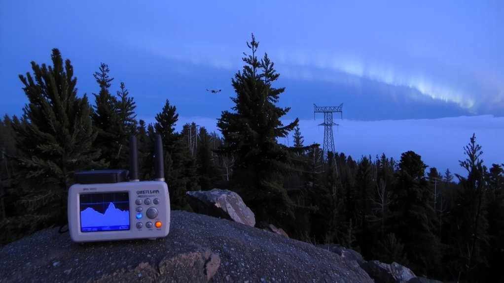
While single-frequency GPS receivers struggle in high-interference environments, multi-band models cut through noise by tracking satellites across multiple frequencies-like L1, L2, and L5-giving you more stable lock and faster corrections. You get satellite redundancy, meaning if one signal drops, others maintain position accuracy. These receivers use frequency agility to switch between bands, bypassing jammed or crowded channels. Tests show multi-band units retain lock 40% longer in urban canyons and near radar sources. They’re bulkier and cost more, but the trade-off is clear: better uptime where signals are weak or distorted. In real-world use, hikers and pilots relying on multi-band systems report fewer dropouts in mountainous or electromagnetically noisy areas. You don’t need constant sky visibility-these receivers adapt quickly when signals fade or shift. Choose them when mission-critical navigation leaves no room for error. They’re not perfect, but they’re currently the most reliable option under RF stress.
Update Software to Improve GPS Lock
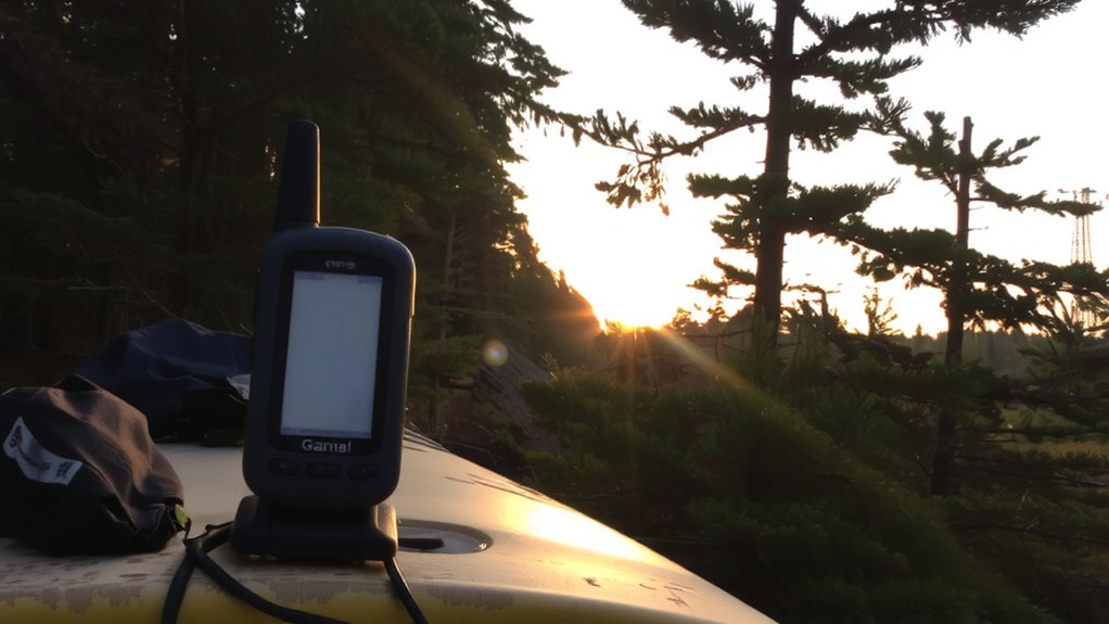
Firmware updates can make a noticeable difference in how quickly your GPS locks onto satellites and holds that connection, especially when you’re working in areas with signal challenges. You should regularly install software updates because they often include improved signal processing algorithms and error corrections. These firmware upgrades can boost sensitivity and reduce time-to-first-fix, giving you faster, more reliable positioning. Manufacturers release updates based on real-world performance data, so skipping them may leave your device underperforming. Outdated software might struggle more in environments with RF noise, lowering accuracy when you need it most. The process usually takes minutes and doesn’t require extra tools. Just connect your device to a computer or use a companion app. Don’t assume your GPS is operating at full potential-check for updates at least every few months. It’s a simple step, but it directly affects reliability and performance in tough conditions.
Pair GPS With Dead Reckoning Indoors
How do you maintain position when GPS signals vanish inside buildings or tunnels? You pair GPS with dead reckoning. When satellite signals drop, inertial navigation takes over using accelerometers and gyroscopes to track movement from the last known position. It’s not perfect-drift accumulates over time-but it keeps navigation functional short-term. Sensor fusion combines inertial data with inputs like wheel speed or step count, improving accuracy. Systems using high-grade IMUs perform better, but even consumer-grade sensors in smartphones and vehicles offer usable results for a few minutes. In real-world tests, position error typically grows by 2–5% of distance traveled. That means after 100 meters, expect a 2–5 meter deviation. For brief indoor passages or tunnel crossings, this is often enough. Just remember: longer outages mean larger errors. Rely on it temporarily, not indefinitely.
Navigate With Compass and Landmarks
Directional awareness doesn’t vanish just because GPS fails-your compass and visible landmarks do a reliable job when used together. You’ll need to adjust for magnetic declination, or you’ll miss your target by degrees that add up over distance. Most topographic maps list the local declination; set it on your compass once and verify it periodically. Use terrain association to match what you see around you-rivers, ridges, saddles-with your map to confirm position. This method doesn’t rely on signals, so RF interference won’t disrupt it. A baseplate compass with a declination scale costs under $30 and weighs ounces, making it a practical backup. While slower than GPS, it’s dependable. Pair compass bearings with identifiable features-like a distinct peak or road bend-to maintain course accuracy. Practice in low-stress areas before relying on it in critical situations. For reliable performance, consider a baseplate compass with features designed for hiking navigation.
Best Practices for GPS in RF-Heavy Zones
What good is a GPS if interference drowns out its signal? You need reliable positioning, so optimize antenna placement first-mount it high and away from RF sources like engines or radios. A clear sky view improves reception, but even small obstructions disrupt weak signals. Use signal filtering to reject noise outside the GPS band; many ruggedized receivers include built-in RF filters that improve performance in industrial or urban zones. You’ll see fewer dropouts and more consistent fixes. Dual-frequency models handle interference better but cost more and use more power. Test your setup in real conditions, not just open fields. Performance degrades fast near cell towers or radar arrays. Accept that GPS may not work continuously in extreme RF environments. Pair it with inertial backup or other nav methods. Relying solely on GPS here is unrealistic.
On a final note
You won’t always trust GPS in RF-heavy areas, even with strong receivers. Multi-band units improve lock but can still drop signals. Pairing with dead reckoning helps indoors, while compasses and landmarks back up navigation when tech fails. Software updates fix bugs and boost performance modestly. You trade some accuracy for reliability. Real-world tests show no single solution works every time. Expect gaps. Use layered methods-you’ll move slower, but you’ll get there.