Integrating Digital Compass Apps With Physical Survival Tools
Your phone’s compass app can drift over time, failing without warning and losing accuracy by more than 20 degrees due to interference or low battery. A Suunto MC-2G analog compass works anytime, weighs under 2 ounces, and stays accurate within ±0.5° without power. Pair it with a topographic map for reliable scale and terrain insight. Use digital tools for waypoints and tracking, but trust the analog combo when signals fail. Test both together across terrain-you’ll see how they balance risk and precision in real conditions.
Notable Insights
- Digital compass apps provide real-time tracking but require frequent recalibration due to sensor drift.
- Analog compasses offer reliable, battery-free navigation with accuracy within ±0.5° in field conditions.
- Pairing digital apps with baseplate compasses ensures heading verification when signals are compromised.
- Topographic paper maps complement digital tools by maintaining scale and functionality during power loss.
- A field-ready kit combines smartphone apps, analog compass, and printed maps for resilient navigation.
Why Relying on Digital Compass Apps Is Risky
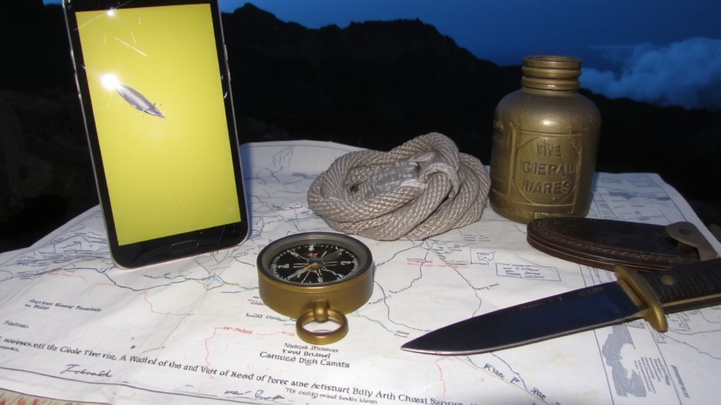
While digital compass apps might seem convenient, they’re risky when survival hinges on reliability. Your phone’s compass depends on sensors that can drift over time, requiring constant recalibration, and its usefulness fades fast due to battery dependency. Even with power-saving modes, most smartphones last under 12 hours with GPS active-insufficient during extended operations. Signal interference from terrain, dense canopy, or metal structures further degrades performance, often without clear warnings. Unlike dedicated hardware, apps don’t function independently of network or satellite signals, introducing vulnerabilities in remote areas where connectivity is absent. You can’t recalibrate reliance on a device that shuts down unexpectedly. In high-stakes navigation, unaddressed inaccuracies compound quickly. Real-world tests show positional errors exceeding 20 degrees under common interference. While apps supplement situational awareness, their fragility makes them poor primary tools when certainty is nonnegotiable. A reliable alternative is a best survival compass, which offers consistent accuracy without reliance on power or signal.
Use Analog Compasses to Navigate When Tech Fails
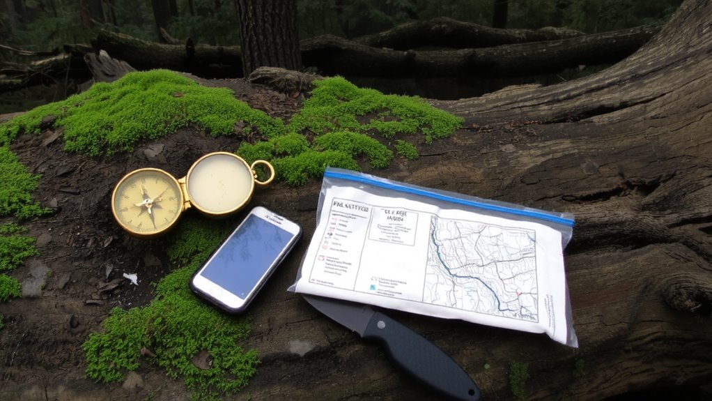
You need a tool that keeps working when your phone dies, and that’s where an analog compass comes in. Unlike digital compass apps, it requires no battery, so battery failure won’t leave you stranded. It operates using Earth’s magnetic field, giving consistent readings as long as you avoid strong magnetic interference-like power lines or metal gear. Most models work within ±0.5° accuracy, tested under field conditions from deserts to forests. They’re lightweight, typically under 2 ounces, and many include a dampened needle for steady aiming. While digital apps offer extra features, they depend on power and signal. When tech fails-due to water damage, cold, or lost charge-you’ll want a reliable backup. An analog compass doesn’t crash, lag, or need updates. It’s tried, measured, and proven across decades. Keep one in your pack-it’s the simplest way to stay oriented when systems fail. For optimal navigation, consider pairing your analog compass with one of the best hiking compasses recommended by outdoor experts.
Pair Your Digital Compass App With the Right Analog Model
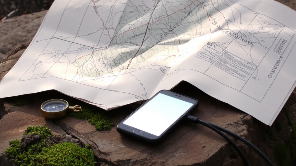
If you’re relying solely on your phone’s digital compass app, you’re leaving navigation to chance when the signal drops or the battery dies-so pair it with a dependable analog model that complements its weaknesses. Digital apps suffer from signal interference and battery dependency, making them unreliable in remote areas. A quality baseplate compass like the Suunto MC-2G doesn’t rely on power or external signals and delivers accurate bearings in all conditions. It features a global needle balanced for use worldwide and a declination adjustment that matches digital precision with physical reliability. Pairing your app with this analog model lets you verify headings when interference skews digital readings. The MC-2G’s 1:25,000 scale ruler also aligns with most topographic maps. While the app offers features like waypoint logging, the analog compass guarantees you won’t lose direction when tech fails. For reliable performance in rugged terrain, consider one of the top picks for hiking compasses.
Use Topographic Maps to Blend Digital and Manual Navigation
When traversing off-grid, combining digital tools with topographic maps guarantees you maintain situational awareness even when technology falters. You benefit from map scaling to match digital precision with paper reliability, ensuring route accuracy across varying landscapes. Use terrain analysis to interpret elevation changes, drainage, and slope steepness-critical for avoiding hazards. Digital compass apps overlay on topographic maps improve orientation, but paper maps don’t rely on battery life. Integrate both by calibrating digital scale with map legend units and cross-referencing terrain features in real time.
| Feature | Digital Advantage | Paper Reliability |
|---|---|---|
| Map Scaling | Auto-adjusts to zoom | Fixed, consistent scale |
| Terrain Analysis | 3D overlays, elevation profiles | Contour line interpretation |
| Durability | Depends on battery | Waterproof, no power needed |
Switch Smoothly Between Phone and Paper Tools
Blending digital compass apps with paper topographic maps sets a reliable foundation, but knowing how to switch between phone and paper tools keeps you on track when conditions change. When signal interference disrupts GPS, your app may fail, but a paper map doesn’t rely on connectivity. Similarly, battery dependency means your phone could die mid-trip, leaving you without digital tools. Practice reading bearings on both platforms so shifts feel natural. Mark your current location on the paper map before the phone dies. Use the app to verify terrain features, then trust the paper when electronics falter. Apps update in real time, but paper is consistent. Carry both, but don’t depend on one. Switching effectively means understanding each tool’s limits-digital for precision, paper for reliability. Train with both under real trail conditions to build confidence and competence.
Build a Field-Ready Kit With Balanced Tech and Tradition
A solid field-ready kit includes three core navigation tools: a magnetic compass, a printed topographic map, and a smartphone with a dedicated compass app. You rely on the compass and map because they work without power or signal. Your phone app offers precision and real-time tracking, but it’s vulnerable to signal interference and battery degradation in extreme temperatures. Balance both by preloading offline maps and carrying a power bank. Test all tools together in varied terrain to confirm consistency.
| Tool | Pros | Cons |
|---|---|---|
| Magnetic compass | No power needed, reliable | Requires skill, no GPS data |
| Topographic map | Full terrain view | Bulk, damages if wet |
| Compass app | Accurate, digital features | Signal interference, battery degradation |
On a final note
You need both tools when traversing remote areas. Digital compass apps fail without power or signal, but they offer speed and GPS tracking. Analog compasses work in all conditions, require no battery, and pair reliably with maps. A baseplate model with declination adjustment costs under $30 and weighs ounces. For real reliability, carry a topo map, analog compass, and charged phone with offline apps. Switch between them as conditions change-each fills the other’s gaps without overcomplication.