Integrating GPS With Survival Navigation Using Animal Trails
You trust your GPS like the Garmin GPSMAP 66i for accuracy, but when it fails, animal trails offer real-world navigation you can verify through track wear, terrain, and consistency. Pre-map routes digitally, then cross-reference with natural paths that follow ridgelines or drainage. Beware false trails ending in cliffs. Use compass and map as primary tools-GPS is supplemental. Watch for fresh signs: broken twigs, scat, packed soil. They guide smarter movement when signals drop.
Notable Insights
- Use GPS to pre-map animal trails on topographic maps for efficient route planning in unfamiliar terrain.
- Cross-reference live GPS position with observed animal trails to verify navigational accuracy and avoid false paths.
- Rely on map and compass as primary tools, using GPS to enhance-not replace-traditional survival navigation skills.
- Identify active animal trails using fresh signs like tracks or broken twigs, then confirm alignment with GPS-mapped corridors.
- Deploy GPS waypoints at trail junctions or landmarks to maintain orientation when animal trails split or disappear.
What to Do When GPS Fails in the Wild
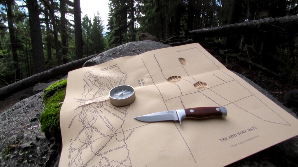
What do you do when your GPS stops working deep in the wilderness? You stay calm. Panic wastes energy and clouds judgment. First, stop moving. Assess your last known location, the terrain, and visible landmarks. Pull out your map and compass-both should be part of your base kit, not backups. Signal devices like a whistle or mirror can help if rescuers are near. You don’t need advanced gear to survive, just reliable tools and clear thinking. Trust your instinct, but verify with facts-instinct guides, but terrain confirms. A working headlamp, fire starter, and water filter are more critical than extra batteries for dead electronics. Staying calm lets you prioritize needs: shelter, water, navigation. Test your gear before trips; a $50 GPS fails just like a $300 one in heavy rain without protection. Preparedness beats technology. Choose a reliable survival compass that performs in extreme conditions and aligns with expert recommendations.
How Animals Choose the Safest Natural Paths
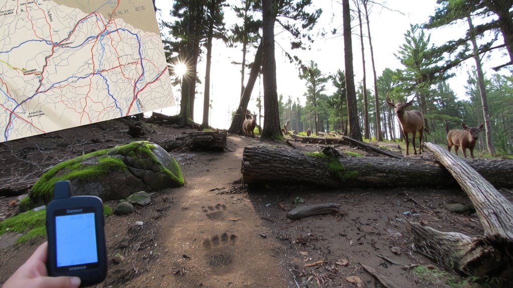
Why do animal trails follow certain routes through rugged terrain? Because animals rely on instinctual migration patterns refined over generations. You can see this when deer bypass steep slopes or winding riverbanks-they don’t wander randomly. Their movement reflects terrain adaptation, choosing paths that minimize energy and risk. These routes often follow ridgelines, drainage channels, or hardened soil, avoiding mud, loose rock, or thick brush. Over time, repeated use carves durable trails that align with natural safety and efficiency. You’ll notice predators and prey alike use the same corridors, indicating shared recognition of ideal passage. These choices aren’t perfect, but they’re proven under real conditions. When traversing, following such trails increases your odds of stable footing and reduced exposure. It’s not foolproof, but it’s a measurable advantage-especially when combined with a working knowledge of animal behavior and landscape dynamics. A reliable hiking compass helps confirm your direction when animal trails intersect with your route.
Pre-Map Trails With GPS Before You Go
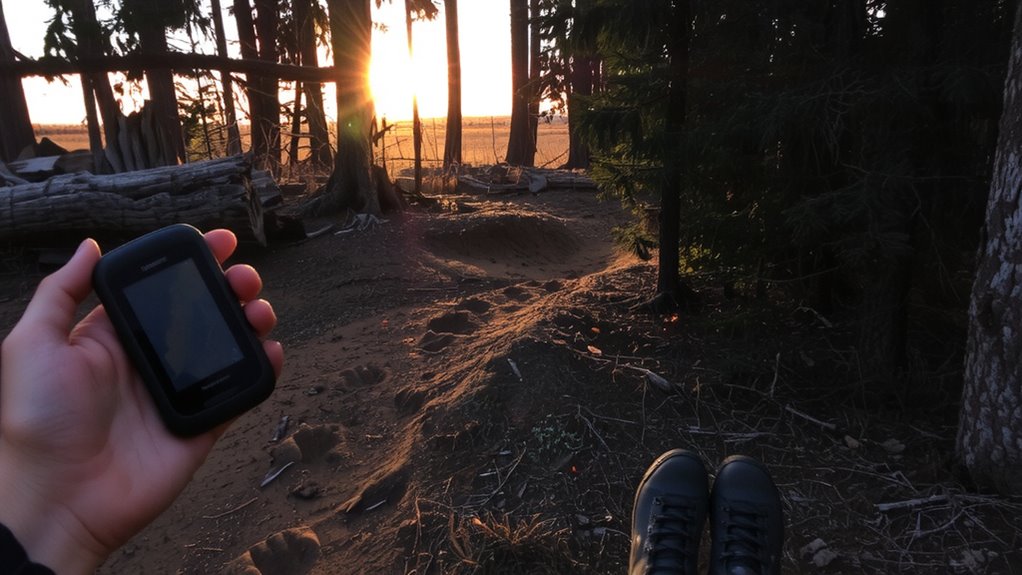
While you can’t always rely on animal trails to lead exactly where you need to go, pre-mapping likely routes with GPS gives you a reliable reference before setting foot outdoors. Trail mapping with GPS lets you study terrain features, elevation changes, and trail density in advance, helping you identify the most efficient paths. You can overlay animal trails on topographic maps to support smarter route planning, checking for natural barriers or dead ends. Devices like Garmin’s GPSMAP 66i offer 30 hours of battery life and accurate waypoint tracking, making them practical for long trips. Saving pre-mapped trails means you can compare real-time movement against your plan, adjusting as needed. It won’t prevent getting lost, but it reduces uncertainty. Relying on digital backups complements observational navigation, balancing technology with instinct. Pre-mapping doesn’t guarantee safety, but it improves situational awareness when moving through unfamiliar wilderness. A reliable GPS device for hiking can make all the difference in remote areas with limited visibility or signage.
When Animal Trails Can Mislead You
If you’re counting on animal trails to guide your way, you might find yourself stranded when those paths lead to cliffs, swamps, or dense thickets with no exit. Not all trails are reliable-some are false trails used only by animals for short foraging trips or seasonal changes that alter water sources and food availability. What was once a clear route in spring could be impassable by summer due to overgrowth or dried-up crossings. False trails often split unexpectedly and terminate abruptly, wasting time and energy. Relying solely on them without checking terrain context increases risk, especially in unfamiliar areas. GPS helps identify when a trail deviates from safe, navigable paths, but even it can’t account for real-time environmental shifts. Always cross-reference trail direction with known landmarks and elevation features. Animal movement patterns shift with weather and habitat pressure, so a trail today may not exist tomorrow.
Interpreting Animal Signs When GPS Is Down
How do you find your way when the GPS fails and the trail disappears? You look for animal signs. Fresh tracks reveal recent movement, and you can follow their tracking patterns to locate water or safer terrain. Look for consistent direction in hoofprints or paw marks-they often lead to established paths. Broken twigs or disturbed soil indicate active routes. Animals also leave scent markers, like urine or scratched bark, especially along territorial boundaries. These signs cluster at junctions or bends, helping you confirm direction. Don’t assume larger trails are better; smaller game trails are often more numerous and reliable. Assess wear level and debris accumulation-cleared paths suggest frequent use. While not foolproof, combining tracking patterns with scent markers improves situational awareness. It’s basic, but effective. You trade tech dependency for observation, using what’s available. In survival, that balance matters.
7 Mistakes in GPS and Animal Trail Navigation
Why do navigational errors spike when you rely solely on GPS or misread animal trails? Because GPS units fail you when signal interference blocks satellites-think dense forest or steep ravines. You might trust your device, but without a signal, it’s just dead weight. Meanwhile, trail confusion sets in fast when you follow animal paths that split or loop back. Deer trails often look like through routes but lead nowhere useful. Relying on either system alone increases risk. Combine them: use GPS when signal is strong, and verify your position with animal trail patterns when tech fails. Mark intersections clearly and note terrain features. You’ll reduce mistakes by cross-referencing data sources. Smart navigation isn’t about one tool-it’s knowing when to switch, what to trust, and how to adapt when signal interference or trail confusion throws you off.
On a final note
You should rely on GPS before it fails, but when it does, animal trails offer real backup. They follow terrain-efficient paths, tested over time, yet can lead to water or dead ends. Pre-mapping with GPS gives you reference; ignoring signs like scat or worn paths risks misdirection. Combine both: use GPS data when available, read animal cues when not. Neither is perfect, but together, they reduce error and improve navigation accuracy in survival situations.