Integrating GPS With Survival Navigation Using Star Patterns
You count on GPS, but thick trees and deep valleys can block signals, causing errors up to 30 meters. In those moments, Polaris gives you true north within 0.7°, and the Southern Cross guides south-no batteries needed. Pairing star patterns with GPS helps verify direction when electronics drift. Smartphones fail faster than dedicated units in cold, remote terrain. Relying on both methods improves accuracy and builds real-world adaptability you won’t want to be without.
Notable Insights
- GPS accuracy declines in remote areas with heavy canopy or terrain blocking, requiring backup navigation methods.
- Polaris in the Northern Hemisphere provides a stable reference within 0.7° of true north for orientation.
- The Southern Cross can be used to estimate south by extending its long axis 4.5 times downward.
- Celestial navigation complements GPS by verifying direction when signals are weak or unavailable.
- Combining GPS with star-based methods improves reliability and builds critical survival navigation skills.
Why GPS Fails in the Wild
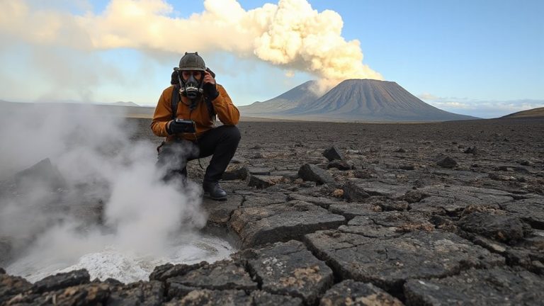
When you’re deep in the backcountry, your GPS might not work as well as you’d expect, and that’s not always the device’s fault. Signal interference from dense tree cover, steep canyons, or mountain ridges can block or reflect satellite signals, causing inaccurate readings or complete failure. In remote areas, fewer visible satellites reduce triangulation precision, especially with devices relying on GPS alone instead of multi-constellation support. Battery life also declines faster when the unit struggles to maintain a signal. Cold temperatures worsen this drain. Even high-end models with WAAS or GLONASS can falter under extreme terrain-induced interference. You’ll find standalone GPS units more reliable than phones, but none are immune to environmental limits. Depending solely on GPS in these conditions increases risk. Real-world tests show position errors up to 30 meters in heavily forested or walled valleys. Always carry backup navigation tools. A reliable backup includes using a hiking compass for accurate orientation when electronics fail.
Use the North Star and Southern Cross to Navigate
Your GPS might get you close, but when satellite signals drop in dense forest or deep canyons, you’ll need a reliable way to find direction without batteries or firmware. In the Northern Hemisphere, locate Polaris, the North Star, positioned almost directly over true north. It’s part of Ursa Minor and remains fixed due to celestial alignment, making it a stable reference point. Stars around it rotate counterclockwise, helping you verify direction over time. In the Southern Hemisphere, use the Southern Cross to find south. Extend its long axis four and a half times its length downward from the foot of the cross-this marks approximate south. Ancient navigators relied on these patterns, often wrapped in star myths, to travel great distances. Unlike electronic tools, these stars don’t fail, but accuracy depends on clear skies and your ability to identify key formations quickly.
Practice Star Navigation Without Technology
How do you guarantee you can navigate when every electronic tool fails? You practice star navigation without technology. Celestial observations offer reliable direction if you know the patterns. At night, locate the North Star in the north or the Southern Cross in the south to determine your bearing. These markers stay relatively fixed, letting you align your path accurately. Use natural landmarks-rivers, ridgelines, coastlines-to confirm your direction and track movement over time. Train under real conditions: start on clear nights with minimal light pollution, then test in varied terrain. No app or device replaces this skill, but it demands repetition. You won’t achieve precision within meters, but you can maintain general direction over distance. It’s not fast, nor perfect, but it’s dependable when gear fails. Mastery means reduced reliance on batteries, circuits, or signals. Practice builds confidence grounded in observation, not convenience.
Combine Star Navigation and GPS for Accuracy
You’ve practiced finding your way using only the stars and natural cues, building a baseline skill that doesn’t depend on any powered device. Now, pair that with GPS to improve accuracy through celestial calibration-using star positions to verify your orientation when satellite signals are weak or suspect. Your GPS gives real-time coordinates, but it can drift or lose signal in dense canopy or rugged terrain. By cross-checking your GPS heading with known star alignments, you confirm direction without guesswork. Signal fusion, combining celestial observations with satellite data, reduces error margins. For example, Polaris aligns within 0.7° of true north, offering a reliable reference to correct GPS compass drift. This hybrid approach doesn’t replace either method but strengthens both. You maintain situational awareness, detect device flaws early, and sustain navigation integrity. It’s not about reliance on tech or tradition-it’s using each to validate the other, where precision matters most.
Make Navigation Without Tech a Habit
What happens when the battery dies and the signal’s gone? You’ll need to rely on what’s around you. Making navigation without tech a habit increases your odds of staying found. Start by practicing celestial observation nightly-learn key stars and their seasonal shifts. Use Polaris to find north, then confirm with Orion’s belt or the Southern Cross, depending on your hemisphere. Pair that with tracking natural landmarks like ridgelines, rivers, or distinctive tree formations. These don’t change and are reliable when visibility allows. Combine both methods: celestial cues give direction, while natural landmarks help track distance and terrain. Train in familiar areas first, then move to unknown territory. Accuracy improves with repetition. Relying on memory and sight isn’t faster than GPS, but it’s consistent when tech fails. Build the habit now so it works when you need it most. A reliable best compass for hiking can serve as a critical backup to celestial and landmark navigation, ensuring accuracy even in poor visibility.
On a final note
You need both GPS and star navigation. GPS fails without signal or power, but the North Star and Southern Cross work every clear night. Stars give direction within 1–3 degrees accuracy when sighted correctly. Combine both: use GPS when available, stars as backup. Practicing monthly guarantees skill retention. Tech is fast, but stars are reliable. Relying solely on gadgets risks disorientation. Knowing both methods increases survival odds in remote areas.