Mapping Out Alternative Evacuation Routes When Main Roads Are Blocked by Debris
You should map alternative evacuation routes now, not during an emergency. Use offline GPS apps like Gaia GPS with topographic maps to identify gravel roads and trails that avoid debris-prone highways. Verify passability by checking gradients, surface type, and clearance-many backroads fail after storms. Talk to locals and delivery drivers who know hidden routes. Test paths in daylight with a full tank, noting turnaround points. Drills reveal flaws in time, terrain, and communication. Keep routes updated quarterly or after big storms, and share maps with neighbors-your next step uncovers deeper local insights.
Notable Insights
- Identify passable backroads by verifying surface type, clearance, and load limits using topographic maps and on-site inspections.
- Use offline-capable GPS tools like Gaia GPS or Organic Maps to plot and navigate detours when cell service is unavailable.
- Validate backroad safety by checking for potholes, washouts, and fallen trees, especially after storms or heavy rain.
- Gather local knowledge from residents, delivery drivers, and first responders about reliable routes and seasonal hazards.
- Conduct regular evacuation drills and update routes every three months or after major weather events to ensure reliability.
Identify Passable Backroads for Evacuations
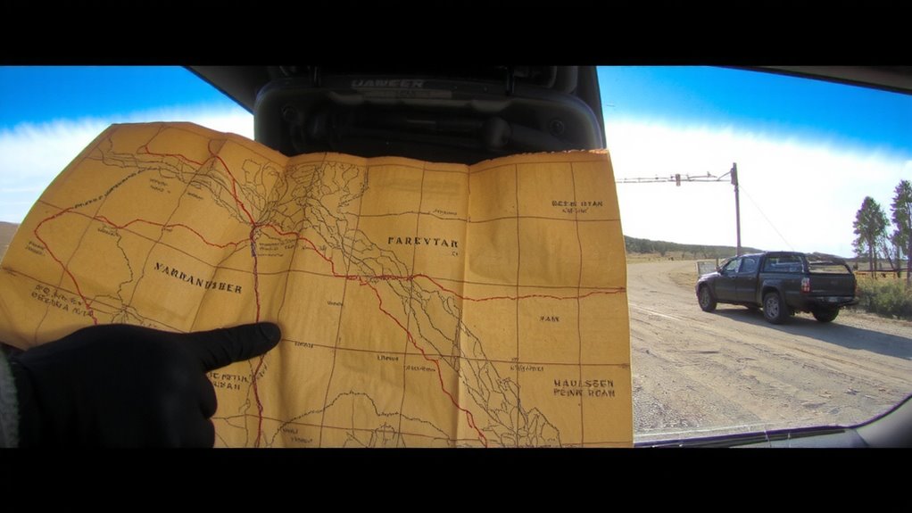
A few reliable backroads might make the difference when main routes are gridlocked or washed out, so you’ll want to scout them ahead of time. Rural pathways often remain passable when highways close, but not all are suitable for evacuation. You’ll need to verify surface type, clearance, and load limits-gravel roads may erode quickly; narrow trails can’t handle large vehicles. Terrain analysis helps identify elevation risks, such as low-lying areas prone to flooding or steep grades that challenge standard tires. Use topographic maps to assess gradients and drainage patterns. Some roads may be usable in dry conditions but become impassable when wet. Test these routes in daylight with a full tank and note turnaround points. Many backroads lack signage, so physical markers or landmarks become critical. Don’t assume accessibility-verify width, shoulder stability, and bridge conditions. Planning now improves your odds when seconds count.
Use GPS Tools to Map Emergency Detours
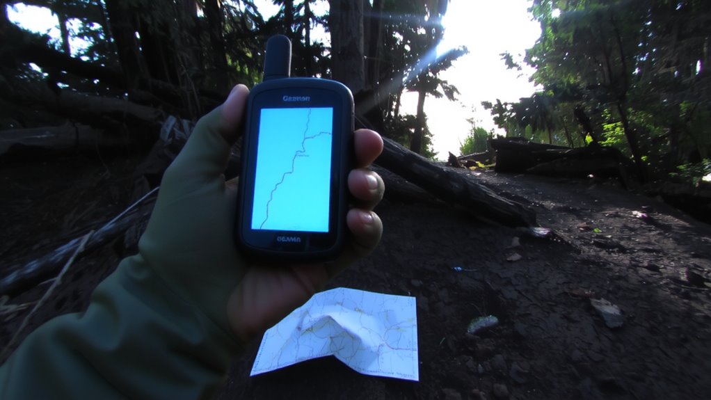
When you’re mapping emergency detours, GPS tools can save time and reduce guesswork, but not all apps perform equally under pressure. You need reliable GPS accuracy, especially in rural areas where signals weaken or terrain blocks reception. Offline-capable apps like Gaia GPS and Organic Maps maintain functionality without cell service, preserving route access when networks fail. Look for software with strong route optimization that recalculates quickly around blockages using real-time data, if available. Google Maps and Apple Maps adjust well in urban zones but may lag in remote regions. Test each app in advance to assess responsiveness, battery use, and map clarity. Some tools prioritize highways by default, so manually adjust settings to favor backroads. Don’t rely solely on digital navigation-pair GPS use with physical maps for redundancy. Consistent performance under stress matters most, so choose tools verified through field use, not just features on paper. For extended off-grid journeys, consider a dedicated GPS device for hiking that offers enhanced durability and longer battery life.
Check Backroad Safety and Access
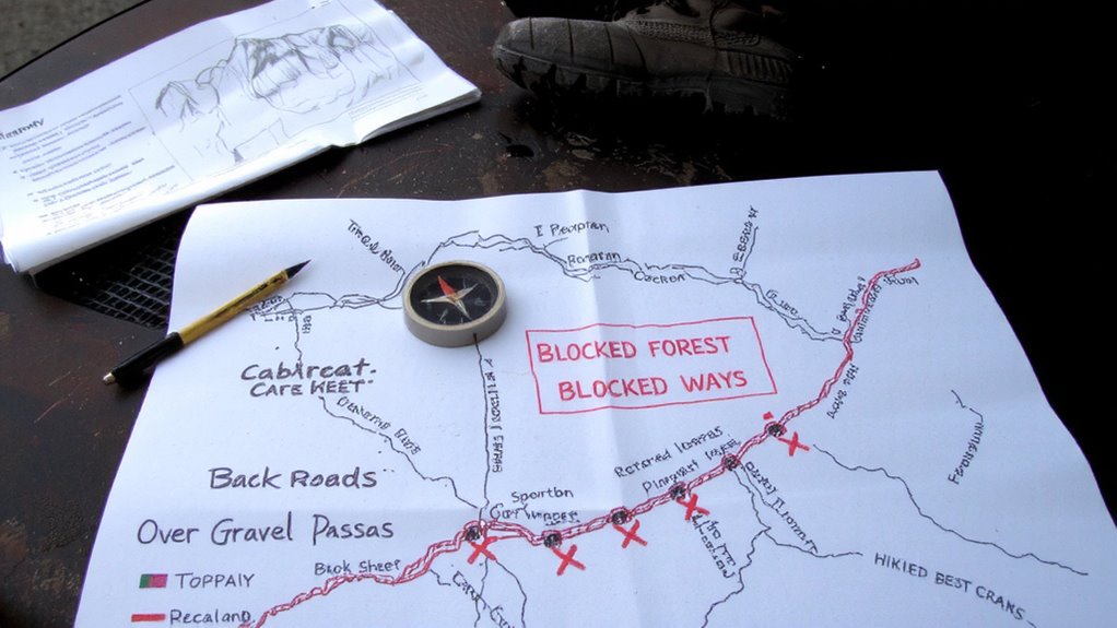
Just because a GPS shows a backroad doesn’t mean it’s passable or safe. You need to verify road conditions before committing. Many backroads develop potholes, washouts, or fallen trees after storms, especially in rural areas with minimal maintenance. These hazards can damage your vehicle or leave you stranded. Check recent satellite imagery or official updates for visible obstructions. Also, consider your vehicle clearance. A standard sedan might handle paved detours but struggle on unpaved or rocky paths where higher ground clearance is essential. SUVs or trucks typically manage rougher terrain better. Don’t assume all routes support your vehicle type. Test access during non-emergency times to assess drivability. Narrow bridges, soft shoulders, and steep grades affect safety. Confirm that your chosen path accommodates your vehicle’s limits and the current road conditions.
Gather Local Insights From Residents and Teams
Local knowledge cuts through the uncertainty when roads are blocked-the people who live in an area know which trails stay open after floods, where rockfalls happen, or which farm tracks connect to main evacuation routes. You should collect resident feedback and listen to community stories to identify reliable detours. Residents often report footpaths, logging roads, or private roads that don’t appear on official maps but remain passable. Engage local search and rescue teams, postal workers, and delivery drivers-they travel the same routes regularly and spot changes early. Their insights improve route accuracy and highlight seasonal hazards.
| Source | Route Info Provided | Reliability Rating (1–5) |
|---|---|---|
| Longtime resident | Hidden ridge trail | 5 |
| School bus driver | Backroad washout | 4 |
| Delivery courier | Closed gate bypass | 4 |
| Volunteer firefighter | Muddy creek crossing | 5 |
| Farmer | Field access path | 5 |
Run Drills on Alternative Evacuation Routes
If you’ve mapped out alternate paths based on local input, you’ll want to test them under real-world conditions-because a route that looks clear on paper might be impassable in practice. Run drills with your team to evaluate terrain, distance, and time required. Carry Emergency kits during these simulations to confirm contents are sufficient and accessible. You’ll see if supplies match the conditions-if boots wear fast or water runs low, adjust accordingly. Use communication signals to coordinate movements and verify they work across the terrain-hand signals, whistles, or radios may behave differently outside controlled settings. Drills expose gaps in readiness, like delayed responses or blocked pathways. Test at different times and weather conditions, since mud or darkness change outcomes. Practicing improves muscle memory and response speed. These tests aren’t about perfect runs-they’re about learning how the plan holds up when debris, fatigue, or poor visibility interfere. Realistic drills mean better decisions when it counts.
Update Your Evacuation Plan Regularly
You’ve tested your evacuation routes under real conditions, and now it’s time to make sure your plan stays current. Conditions change-roads get damaged, landmarks shift, and access points close-so routine route maintenance is essential. Check each alternate path every three months or after major weather events to confirm drivability, clear obstructions, and reassess safety. Update maps and GPS coordinates accordingly. Likewise, inspect your emergency supplies every 90 days. Replace expired food, water, batteries, and medications to guarantee full functionality when needed. Equipment wear and supply degradation are predictable; managing them isn’t optional. A current plan includes accurate routes and reliable gear. Adjust your checklist based on season, traffic patterns, and local development. Outdated info leads to delays. Staying current means your response remains effective, not just well-intentioned. Plan updates take little time but dramatically improve outcomes.
Share Evacuation Route Maps With Your Community
How well would your neighbors fare if they had to evacuate without knowing the safest way out? If roads are blocked, hesitation could cost lives. Sharing evacuation route maps strengthens community resilience through simple, actionable planning. You don’t need tech-print copies or hand-draw local alternatives. Community sharing guarantees everyone, including elderly or isolated residents, knows secondary paths. Use neighborhood meetings or social media groups to distribute maps and gather feedback. Route collaboration improves accuracy, as others may know lesser-used trails or backroads you’ve overlooked. Test these routes together by walking or driving them during drills. Maps with clear landmarks and estimated travel times perform better under stress. Sharing isn’t just helpful-it’s a measurable risk reduction. When debris blocks the main road, your prepared deficient could guide others to safety. Consider including top emergency maps in your planning to ensure reliability during crises.
On a final note
You need backup routes when main roads are blocked. Backroads work if they’re clear and drivable, but check conditions regularly-what’s passable today might not be tomorrow. GPS helps, but local knowledge matters more. Test routes in drills to find issues early. Update plans every season and share maps with your community. A good evacuation plan isn’t built once-it’s maintained, tested, and adjusted with real-world feedback.