Creating Custom Digital Maps for Military-Style Survival Navigation
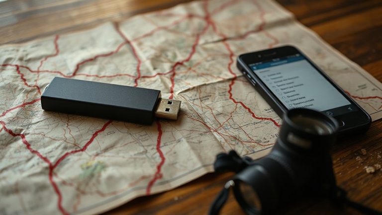
You need custom digital maps that work when cell service fails, so start with offline-first tools like Gaia GPS or OsmAnd. They store topographic maps on-device, support GPS tagging, and encrypt sensitive waypoints. Layer satellite imagery from Google Earth to identify water sources, ridgelines, and cover-cross-check with topo data to avoid outdated views. Mark multiple escape routes, cache points, and hazards using standardized formats like KMZ or GeoTIFF so your maps run on phones, tablets, or GPS units. Test each route in the field for scale accuracy, battery drain, and label clarity under real conditions. There’s a proven way to refine these maps for all-terrain reliability.
Notable Insights
- Integrate GPS data, satellite imagery, and topographic layers to create operationally focused custom maps.
- Prioritize offline functionality by storing encrypted maps directly on devices for no-connectivity environments.
- Use high-resolution satellite imagery to analyze terrain features like ridgelines, water sources, and movement corridors.
- Mark critical survival features including water sources, cover spots, escape routes, and hazard zones with layered waypoints.
- Ensure cross-device compatibility using standard formats like GeoTIFF or KMZ and conduct field testing for accuracy and usability.
Start With Custom Survival Maps
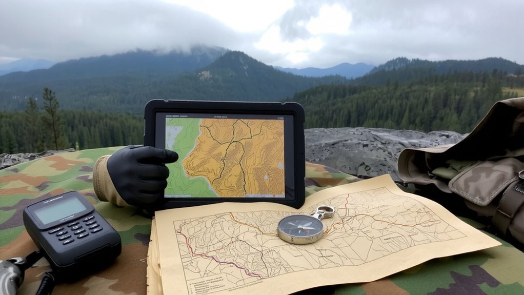
Why rely on generic maps when your survival could depend on knowing the exact terrain? You need custom survival maps tailored to your environment. Standard apps show roads and cities, but they lack critical details like elevation gradients, water sources, or dense foliage-key for evasion or shelter. With proper map design, you overlay GPS data, satellite imagery, and topographic layers to highlight escape routes or high-ground vantage points. Terrain analysis lets you assess坡度, visibility, and drainages, improving route planning and risk assessment. These maps aren’t just visual aids-they’re tactical tools. You can mark hazards, cache points, or patrol zones, adapting them to seasonal changes or mission profiles. Unlike commercial maps, custom versions focus only on what’s operationally relevant. They reduce clutter and increase decision speed. You’ll react faster and move smarter because the map reflects real-world conditions, not general approximations. Accuracy saves time. Time saves lives.
Pick An Offline-First Mapping Tool
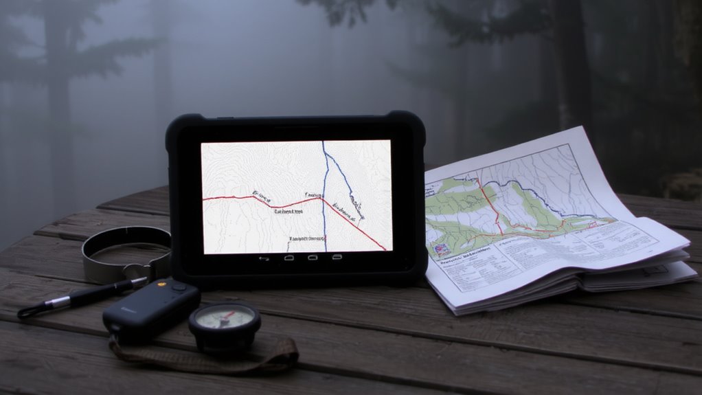
A reliable offline-first mapping tool lets you access detailed maps without cell service or internet, which is non-negotiable in remote or emergency scenarios. You need one that stores maps directly on your device, ensuring navigation works when networks fail. Look for apps that prioritize map security and use strong data encryption to protect stored locations and routes from unauthorized access. Tools like Gaia GPS and OsmAnd provide this level of protection while letting you download high-resolution topographic and trail maps. They support track logging, route planning, and waypoint marking-all without requiring connectivity. Choose a tool compatible with your device’s operating system and storage limits. Some require microSD support for large map downloads. Test performance in low-memory situations to avoid crashes. Balanced battery use and stable rendering matter just as much as features. Pick wisely-your tool must work when everything else fails.
Use Satellite Imagery To Find Key Terrain
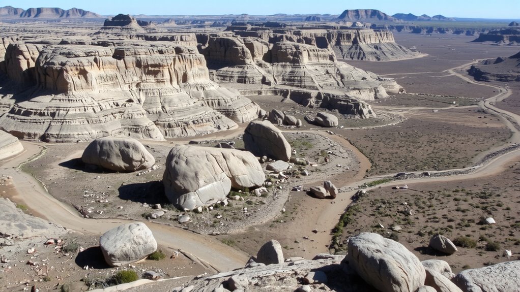
When you’re traversing with limited ground visibility, satellite imagery gives you a clear overhead view of terrain features like ridgelines, water sources, and potential obstacles. You can perform terrain analysis to identify defensible positions, natural funnels, and stable ground for movement. Tools like Google Earth or specialized GIS platforms let you overlay elevation profiling, revealing slope angles and elevation changes that affect travel speed and energy expenditure. Steep gradients show up clearly, helping you avoid exhausting routes. High-resolution imagery combined with elevation data improves route prediction and risk assessment. While cloud cover or outdated images can limit accuracy, cross-referencing with topographic maps reduces error. Elevation profiling also alerts you to dead zones where GPS signals may drop. You’re not relying on guesswork-you’re using measurable data to inform decisions. This isn’t about convenience; it’s about maintaining situational awareness when visibility fails.
Mark Water, Cover, and Escape Routes
If you’re relying on a digital map without marked water sources, cover spots, and escape routes, you’re increasing your risk unnecessarily-these three elements are non-negotiable for staying alive in unpredictable environments. You need water sources clearly labeled; dehydration impairs judgment within hours, and natural sources aren’t always visible on satellite views. Mark springs, rivers, and seasonal streams, noting reliability by season. Cover spots-like rock outcrops or dense vegetation-provide concealment from view and protection from exposure. Plot these near likely routes so you can reach them quickly. Escape planning means mapping multiple exit paths from any location, factoring in terrain, distance, and obstacles. Redundancy increases survival odds when the primary route is blocked. Use layered waypoints to identify fallback positions. Don’t assume you’ll improvise under stress-most people overestimate their capacity in emergencies. Mark these features directly on your digital map, ensuring they’re visible at all zoom levels. Every second counts, and hesitation costs lives.
Make Maps Work On Any Device
You’ve marked water, cover, and escape routes-now guarantee that map works the moment you need it, regardless of device. Device compatibility ensures your map opens on smartphones, tablets, GPS units, and laptops without formatting issues. Use standard file formats like GeoTIFF or KMZ, which most platforms support natively. Avoid proprietary software locks that limit access when switching devices. Universal access means storing maps in cloud services with offline sync, so you retrieve them even with spotty connectivity. Test file sizes-under 50MB loads faster on older hardware. Export multiple versions: a full-detail file for desktops and a lightweight one for phones. Cross-platform tools like QGIS or Google Earth Pro handle this well. If your map fails on one device, it defeats the purpose. Build flexibility in now, so you’re not left stranded later. Compatibility isn’t optional-it’s essential.
Test Maps Before You’re Stranded
Though you might trust your map looks right on screen, real confidence comes from testing it under actual field conditions-because a map that fails during a crisis is worse than no map at all. You need field verification to confirm map reliability when it counts. Load the map on each device you plan to use and navigate a known route, comparing GPS position to marked trails, landmarks, and elevation changes. Check if labels align with terrain features and if scale remains usable in low light or rain. Test battery drain with the map running for two hours straight. See if touch response works with gloves. Note discrepancies between digital data and physical reality-these reveal weaknesses no software can predict. Only after multiple real-world trials can you trust your setup. Skipping field verification risks poor decisions in high-stakes moments. Test early, test often.
On a final note
You need reliable maps when signals fail. Custom digital maps give you control over what matters-water sources, terrain cover, escape routes-without depending on live data. Tools like Gaia GPS or Maps.me work offline and sync across devices. Test them on short hikes first. Satellite layers help verify terrain, but drain battery faster. Balance detail with performance. Simplicity saves time and power when it counts.