How to Navigate Using GPS in Magnetic Anomaly Zones
You can navigate reliably in magnetic anomaly zones using GPS, since it relies on satellite signals, not Earth’s magnetic field. Stick to at least four satellites, but aim for eight with strong geometry to guarantee accuracy. Pair your GPS with a topographic map for terrain validation and maintain situational awareness. Calibrate often, check firmware, and carry spare batteries-signal interference won’t stop GPS, but it can degrade performance. Use WAAS-enabled devices for 3-meter accuracy, and always confirm position against landmarks. There’s more to optimizing your setup in challenging zones.
Notable Insights
- Use GPS instead of compasses, as it operates independently of Earth’s magnetic field in anomaly zones.
- Ensure signal reception from at least four satellites, with eight preferred for improved accuracy and reliability.
- Combine GPS with topographic maps to maintain terrain awareness and verify position visually.
- Enable WAAS or EGNOS and update firmware to minimize errors and enhance signal stability.
- Monitor heading, speed, and track logs for sudden changes, and cross-check with landmarks to detect signal issues.
How GPS Keeps Working When Compasses Fail
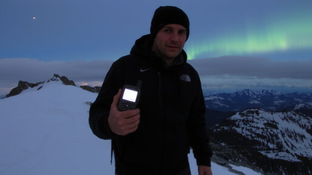
When the needle on your compass dances unpredictably due to magnetic anomalies-like those near large iron deposits or high-latitude regions-you can’t afford to rely on it. GPS doesn’t use Earth’s magnetic field, so it keeps working where compasses fail. Instead, it depends on satellite alignment and timing signals from at least four satellites to calculate your position. While signal interference from terrain or solar activity can degrade accuracy, most modern GPS receivers handle these conditions by locking onto backup satellites or using multi-band frequencies. You’ll notice a delay or jump in position only during severe interference. Units with WAAS or EGNOS support reduce error margins to about 3 meters. In practice, this means you can trust GPS for route tracking even when magnetic readings are useless-just make sure your device has clear sky visibility and updated almanac data.
What Makes Magnetic Anomaly Zones So Tricky
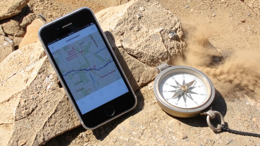
Though magnetic anomaly zones don’t shut down your GPS, they make navigation far less forgiving if you’re counting on a compass-because local distortions from geological formations or solar activity can swing magnetic readings by tens of degrees with no warning. You’ll face unreliable bearings the moment magnetic interference kicks in, and without realizing it, you’re off course. Compass deviation isn’t subtle-it can mislead you steadily, silently. Below is how terrain and conditions influence the risk:
| Cause | Effect on Compass (Degrees Deviation) |
|---|---|
| Iron-rich bedrock | Up to 30° |
| Solar storms | 20°–45° |
| Buried metallic debris | 10°–25° |
| Basaltic lava flows | 15°–35° |
| High-latitude regions | Variable, often >20° |
Magnetic interference varies by location, but the compass deviation is consistent once established-knowing this helps you anticipate error, not react to it.
Use Topo Maps With GPS to Stay Found
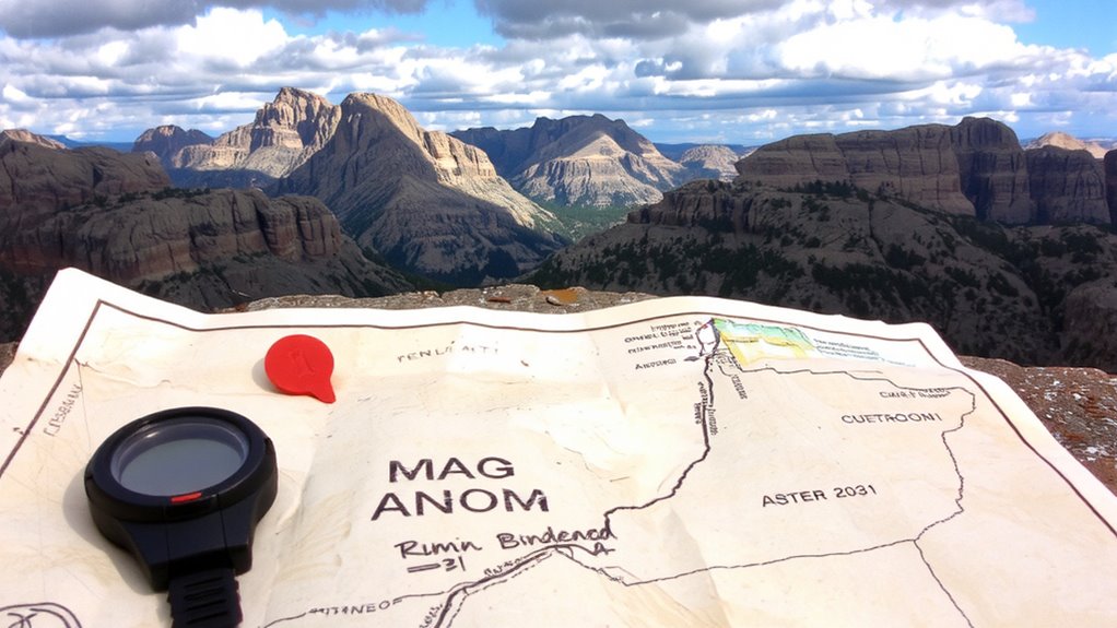
You can’t rely on a compass in magnetic anomaly zones, but you’re not flying blind-your GPS paired with a topographic map keeps you on track. A topo map gives terrain context that GPS alone can’t, helping you recognize ridgelines, valleys, and elevation changes in real time. Use map alignment to match your GPS position with visible features, ensuring your device and map are oriented correctly-this reduces error when visibility drops. Overlay your planned route as digital route overlays on the GPS screen so you can compare your progress against the landscape. These overlays highlight deviations early, before you lose bearing. Combined, the GPS and topo map compensate for each other’s weaknesses: GPS provides precision, while the map offers continuity during signal loss. Together, they maintain spatial awareness without relying on magnetic data-critical in anomaly zones. Test this setup in benign areas first to confirm accuracy. For optimal performance, choose a device from the best hiking GPS devices for reliable navigation in challenging environments.
Set Your GPS Correctly for Anomaly Zones
Why assume your GPS is ready for an anomaly zone without checking? You can’t rely on default settings when magnetic interference distorts readings. Start by enabling signal calibration to help your device adjust for local distortions that affect accuracy. This step fine-tunes how the GPS interprets incoming data, reducing position drift. Next, verify satellite alignment-ensure your GPS acquires signals from at least eight satellites with strong geometry. Poor alignment increases the risk of lock errors in disrupted zones. Update firmware before heading out; manufacturers often include fixes for signal stability. Test setup in a known location to confirm coordinate consistency. These adjustments don’t eliminate interference, but they improve reliability. Your GPS won’t work perfectly in anomaly zones, but proper configuration limits errors when you need dependable navigation most.
Avoid These GPS Mistakes Near Magnetic Anomalies
Setting your GPS right is only half the battle when you’re operating near magnetic anomalies. You still need to avoid common mistakes that degrade performance. Relying solely on GPS without checking for signal interference can leave you off course-magnetic disturbances disrupt satellite reception, causing drift or total signal loss. Ignoring calibration errors is another pitfall; improperly calibrated compasses or sensors feed inaccurate data to your GPS, compounding navigation errors. Don’t assume your device updates position flawlessly in real time-delays happen. Monitor your heading and speed for sudden jumps. If readings feel off, stop and recalibrate away from metal or electromagnetic sources. Use topographic maps as backup. Battery drain increases when GPS struggles with signal interference, so carry spares. Avoid overreliance on track logs in anomaly zones-they may not reflect true ground paths. Stay alert, verify frequently, and cross-reference with physical landmarks.
Expert Tips for Navigating Magnetic Dead Zones
What happens when your GPS shows no signal in a magnetic dead zone? You rely on preparation. Signal interference and terrain masking disrupt satellite locks, making navigation unreliable. Always carry a topographic map and compass as backups. Pre-download offline maps on your device, and use GPS apps that store waypoints without live signals. Below are key tools and their limitations:
| Tool | Limitation in Dead Zones |
|---|---|
| GPS device | Loses accuracy due to signal interference |
| Smartphone GPS | Affected by terrain masking and battery drain |
| Compass | No signal needed, but requires skill |
| Paper map | Immune to interference, but static data |
Stay oriented by triangulating with known landmarks. Test gear in controlled environments before relying on it. Redundancy beats dependency.
On a final note
You can rely on GPS in magnetic anomaly zones when compasses fail, but only if you set it to true north and use accurate waypoints. Pair it with a topo map to verify terrain features. Avoid trusting raw GPS direction when moving slowly or stopped-it drifts. Instead, watch movement over ground. Battery life matters more here; carry spares. GPS works, but only when used wisely and backed by basic navigation skills.