How to Use GPS to Identify Safe Zones in Active Volcanic Areas
Use a rugged GPS with real-time alerts and multi-GNSS support to stay within 3-meter accuracy near active volcanoes. Preload evacuation routes from geologic surveys so you’re not relying on signals in ash-choked zones. Sync your device with seismic and thermal feeds to track lava fronts within 100 meters and avoid toxic gas plumes. Topographic layers help you stay on ridges, not in flow paths. With continuous tracking, expect 20–30% less battery life-carrying backups is wise. Systems linked to USGS alerts give you seconds to minutes that could save your life.
Notable Insights
- Use GPS with real-time volcanic hazard overlays to identify exact boundaries between safe zones and dangerous areas.
- Enable multi-GNSS and A-GPS for accurate location tracking within 3 meters, critical for avoiding hazard zones.
- Preload evacuation routes from updated geologic surveys to navigate safely in low-visibility or signal-dead zones.
- Monitor real-time lahar and lava flow tracking via GPS-synced seismic and thermal data to avoid fast-moving threats.
- Receive instant alerts from volcano monitoring systems to detect ground movement and gas emissions near active vents.
Use GPS to Avoid Deadly Volcanic Hazards
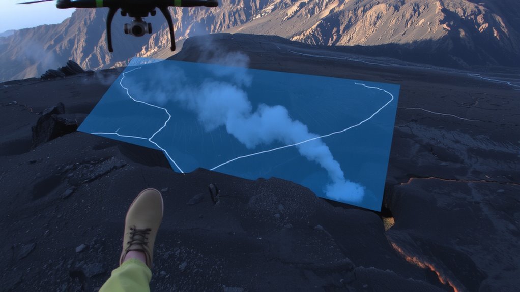
Why risk your life guessing where it’s safe when GPS can show you exactly where volcanic hazards end and survivable ground begins? With GPS, you can track active mudflow detection zones in real time, letting you avoid fast-moving lahars that standard maps won’t reflect. These systems overlay seismic and slope data to predict flow paths, giving you a clear escape route. Ash dispersion patterns also appear on GPS displays when linked to volcanic observatory feeds, showing which areas are under immediate threat from toxic or respiratory-damaging ashfall. You don’t need guesswork-the GPS plots boundaries based on wind speed, eruption volume, and particle density, all updated frequently. Units with topographic layers help differentiate between ridge lines and valleys, critical for avoiding flow channels. It won’t guarantee safety, but it cuts uncertainty. You gain minutes-sometimes all you need.
Pick a GPS With Real-Time Alerts
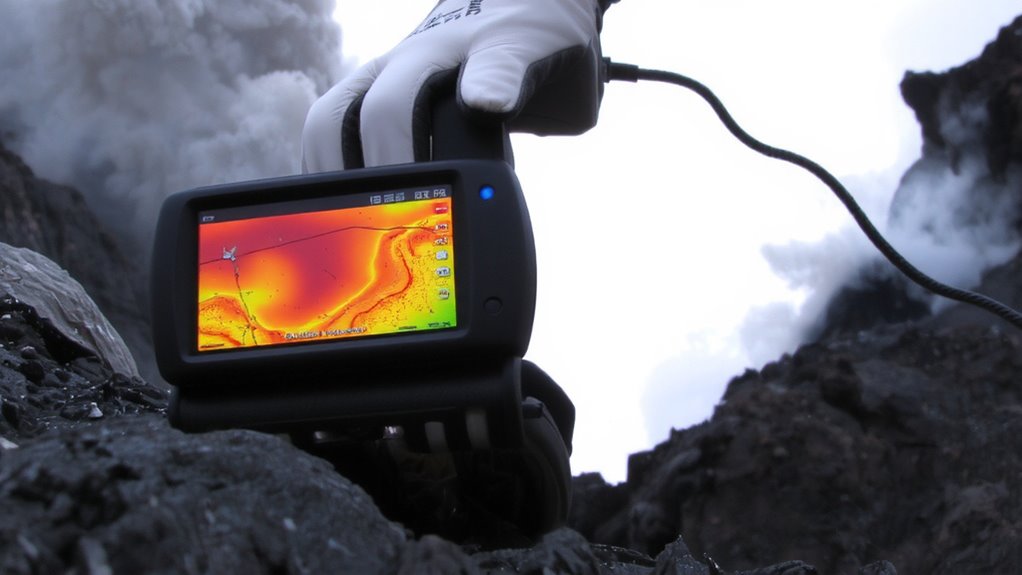
You’ve seen how GPS helps you steer clear of fast-moving lahars and shifting ash zones, but not all devices deliver warnings before danger reaches you. Real-time alerts only work if your GPS has strong signal accuracy and constant connectivity. Choose a model that uses multi-GNSS support-like GPS, GLONASS, and Galileo-to maintain lock in poor conditions. Devices with assisted GPS (A-GPS) update faster and react to route changes more reliably, which matters when seconds count. Don’t overlook battery longevity; rugged handhelds often last 15–25 hours, while smartphone apps drain in half that time. Some units offer external battery packs or solar charging, boosting field endurance. A backlit screen helps, but dimming it extends runtime. Signal accuracy within 3 meters is ideal; beyond that, you risk missing hazard boundaries. Test alert settings before heading out-rely on systems that issue warnings automatically, not just display data. Your safety hinges on timely, trustworthy updates.
Preload GPS Evacuation Routes
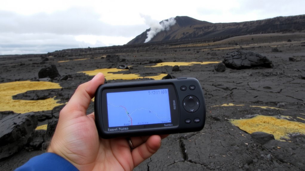
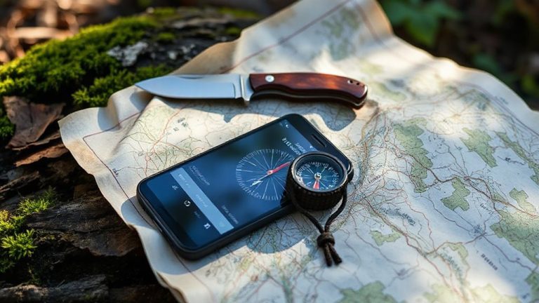
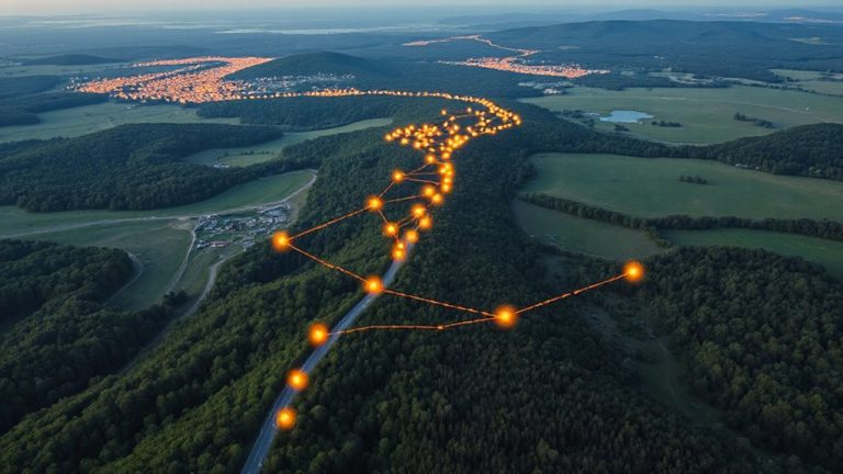
If you’re heading into volcanic terrain, preloading evacuation routes into your GPS isn’t optional-it’s a core part of your safety plan. You’ll need routes based on the latest satellite imaging and hazard mapping, updated regularly to reflect current risk zones. Most modern GPS units let you import custom routes via micro-SD cards or USB, so you can transfer paths from geologic survey data before departure. Preloaded routes beat real-time navigation in low-visibility conditions or signal-dead zones, where ash or terrain may block reception. Relying solely on live GPS increases risk-it may guide you into danger if conditions change fast. Load multiple routes: primary, secondary, and high-ground alternatives. These should align with regional hazard mapping, identifying lava flow paths, gas-prone depressions, and pyroclastic zones. Test routes in simulation mode if your GPS supports it. A device with at least 16 hours battery life and offline capability works best when paired with preloaded, data-backed paths.
Track Lava and Gas With GPS
While lava flows and gas emissions can shift rapidly, your GPS can help track these threats in real time when paired with updated hazard data feeds. Enable lava flow tracking by syncing your device with volcanic monitoring networks that relay thermal and satellite data. This shows active flow fronts and helps you anticipate direction and speed, typically accurate within 100 meters. For gas emission mapping, use GPS-enabled sensors or public dispersion models that overlay plume movement onto your map. These updates, often refreshed hourly, reveal high-risk zones where toxic gases accumulate, especially in low-lying or downwind areas. Relying solely on visual cues is unreliable; GPS gives measurable positioning to back your decisions. Most rugged handheld units support these functions, though battery life drops by 20–30% when running continuous tracking. You’ll trade power for precision, but staying informed beats guessing in dynamic terrain.
Get Instant Warnings From Volcano Alerts
How do you stay ahead of sudden volcanic eruptions when seconds count? You rely on real-time volcano alert systems tied to GPS and seismic monitoring. These alerts detect volcanic tremors and subtle seismic shifts long before an eruption becomes visible. When sensors register abnormal ground movement, automated warnings are sent directly to your device. Systems like the USGS Volcano Notification Service deliver alerts within seconds, giving you time to move toward a GPS-marked safe zone. Most modern apps integrate with satellite networks, ensuring coverage even in remote areas. You’ll get alerts at thresholds proven effective in past eruptions-typically M1.5+ seismic shifts within 5 km of a volcano’s vent. While no system is 100% failproof, data shows they reduce risk markedly. You just need a charged phone and enabled location services. It’s not magic-it’s monitoring, timing, and preparation working together.
On a final note
You need a GPS that updates in real time, preloads evacuation routes, and tracks volcanic activity like lava flows and gas plumes. Models with satellite messaging and offline maps work when cell service fails. Real-time alerts help you react faster, but battery life drops with constant use. Pair your device with local volcano monitoring data for accuracy. A reliable GPS won’t stop an eruption, but it improves your odds by keeping you informed and on course.