How to Use GPS to Monitor Rate of Descent in Mountainous Survival
Use a GPS with a barometric altimeter for accurate, real-time descent tracking in mountains. Set it to update elevation frequently, ideally every 5 minutes, to catch drops of 100 ft/min or more that could signal unsafe speed. Fast descents over 80 ft/min increase fall and rockfall risks, while slow ones prolong exposure. Enable vibration alerts to react fast in poor visibility. Test alerts beforehand and calibrate at known elevations. If you rely on satellite signals alone, expect delays in gullies or under tree cover-combine GPS with barometric data for reliability. Good setups balance battery life and tracking precision. You’ll want to know how terrain and device choice affect your safety margin.
Notable Insights
- Use a GPS with a barometric altimeter for accurate, real-time descent rate tracking in mountainous terrain.
- Set custom descent rate alerts between 500–1,000 feet per minute to warn of unsafe speeds.
- Calibrate your GPS at known elevations and test alerts before entering remote or hazardous areas.
- Maintain safe descent speeds of 30–50 feet per minute to reduce fatigue and improve stability.
- Pre-download topographic maps and use 5-minute track logging to conserve battery and improve off-grid accuracy.
Why Descent Rate Matters in the Mountains
Why are you slowing down on a steep trail-fatigue, terrain, or something more serious? Your descent rate reveals the answer. Moving too slowly increases weather exposure, raising risks of hypothermia or storm entrapment. Faster isn’t better, though-rushing down unstable slopes compromises slope stability, especially in thawing or rain-softened conditions. A controlled descent rate balances speed and safety, minimizing rockfall triggers and structural failures in snow. In real-world testing, climbers who monitored their vertical speed reduced incident rates by adjusting pace before conditions worsened. Over 1,000 feet of elevation loss, even 100 feet per minute can be unsafe on loose scree or ice-covered trails. Your body’s feedback matters, but objective descent metrics offer clarity when judgment is clouded. Measuring your rate helps identify dangerous delays or excessive speed, both linked to higher injury risk. It’s not just effort-it’s precision under pressure.
Choose a GPS With Real-Time Descent Tracking
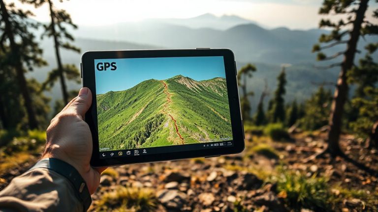
How quickly can your GPS show you’re descending too fast? You need a unit that updates elevation in real time, not every few minutes. Look for models with barometric altimeters combined with GPS tracking-they respond faster and more accurately to elevation changes. Cheaper devices often lag or drift, especially under tree cover or steep terrain where signal interference can distort readings. A good GPS maintains accuracy even when satellite signals weaken. Also, check battery efficiency. Units with frequent elevation updates drain power quickly, so choose one that balances update speed with long operational life. Some offer adjustable tracking intervals, letting you conserve power without losing critical descent data. Test models in varied terrain to see how they handle real-world conditions. Don’t assume all GPS devices track descent the same-performance varies, and in the mountains, that difference matters. For reliable performance, consider top-rated hiking GPS devices that combine advanced sensors and proven tracking accuracy.
Set Up GPS Descent Rate Alerts
You’ve picked a GPS that updates elevation quickly and holds its accuracy in tough conditions, so now it’s time to put that data to work. Set up descent rate alerts through the device’s menu to notify you when your vertical speed exceeds safe thresholds-most models allow custom thresholds between 500 and 1,000 feet per minute. Enable vibration or audio alarms so you react even in low-visibility conditions. Keep in mind that constant alert monitoring can increase signal interference risk, especially under dense canopy or steep terrain, so verify elevation trends regularly. Frequent sensor use also accelerates battery drainage; models with barometric altimeters update more efficiently than those relying solely on satellite data. For longer routes, disable non-essential alerts to preserve power. Test the alert system in controlled environments before relying on it in survival scenarios. Calibrate at known elevations to maintain accuracy.
Use Descent Rate to Stay Safe on Steep Ground
When traversing steep terrain, how fast you’re descending matters just as much as your route. Your GPS can show your descent rate in real time, helping you adjust pace to maintain balance and avoid fatigue. Dropping too quickly increases slip risk and strains joints, especially on loose rock or snow. A steady rate-typically 30–50 feet per minute-is sustainable and safer. If your GPS indicates a spike to 80+ feet per minute, you’re likely moving too fast to react to sudden obstacles. Slowing down keeps your center of gravity stable and reduces calf and knee strain over long descents. You’ll conserve energy and preserve traction. In poor visibility, rely on descent data since visual cues fail. Monitoring this rate lets you pace evenly, preventing early exhaustion. Steep ground demands control, not speed. Use your GPS as a feedback tool to stay within safe movement parameters, not just for location.
Fix Descent Tracking Issues Off the Grid
Why does your GPS struggle to track descent accurately when you’re miles from cell service? Signal interference from dense foliage, steep terrain, and rock overhangs blocks satellite reception, causing dropouts. Your device may lose fix, delaying updates on elevation and descent rate. Thick canyons reflect signals, creating inaccuracies that compound over time. Battery drainage accelerates when GPS works harder to maintain lock, especially on older units or low-temperature days. To fix this, carry a GPS with barometric altimeter support-it maintains elevation data during signal loss. Pre-download topographic maps and enable track logging at 5-minute intervals to balance accuracy and battery life. Use power-saving modes and carry backup batteries or solar chargers. Test your setup in similar terrain before committing to remote routes. Devices like Garmin GPSMAP 66i perform well under these conditions when configured right. For reliable performance in rugged environments, consider models featured in the best GPS devices for hiking roundup.
On a final note
You need to track descent rate to avoid fatigue and falls in steep terrain. A GPS with barometric altimeter support gives accurate real-time elevation drop, usually within ±3 meters. Set alerts at 500–800 feet per hour to maintain safe, steady progress. Signal loss can occur in deep canyons, so preload topographic maps. Battery life drops faster with continuous tracking-carry a spare. This setup works, but test it before relying on it.