How to Use Satellite Devices to Receive Hurricane Track Updates
Turn on your satellite device in an open area with a clear view of the sky, wait 2–5 minutes for GPS lock, and check signal strength-aim for at least 70%. Use devices like the Garmin inReach Mini 2 via the Iridium network to receive real-time hurricane track updates from NOAA or NASA feeds. They work when cell towers fail, though they’re slower than LTE. Pair with a power bank and solar panel to stay online. You’ll get reliable storm path alerts, evacuation routes, and surge warnings-key info that keeps you safe when the grid goes down. More details on setup and device choices follow.
Notable Insights
- Use satellite devices like Garmin inReach or Zoleo to receive real-time hurricane alerts via global networks such as Iridium.
- Ensure a clear view of the sky to maintain strong signal connectivity for timely storm tracking updates.
- Configure weather alert subscriptions through the device app to get automated hurricane path notifications.
- Monitor GOES-East satellite data via NOAA or NASA for frequent, accurate hurricane track imagery.
- Conserve battery by using power-saving modes and recharge with solar panels during extended outages.
When Cell Service Fails: Why Satellite Wins
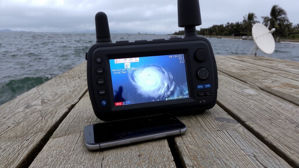
When the storm hits and cell towers go down, satellite devices keep working because they don’t rely on ground-based networks. You lose cell service when infrastructure fails, but satellite reliability means you still get critical updates. These systems connect directly to orbiting satellites, so signal consistency isn’t tied to local power or towers. During hurricanes, when every minute counts, that consistent link lets you track storm paths, receive evacuation orders, or call for help. Unlike cell phones, satellite devices operate on global networks like Iridium or GlobalStar, which have redundancy and wide coverage. They work in remote areas and extreme conditions where traditional networks collapse. Yes, they’re slower than LTE and require a clear view of the sky, but the trade-off is dependable communication. In disasters, that reliability isn’t a luxury-it’s a lifeline. You stay informed, even when everything else fails. For reliable connectivity, consider choosing one of the best satellite phones based on coverage, durability, and emergency features.
Best Satellite Devices for Hurricane Alerts
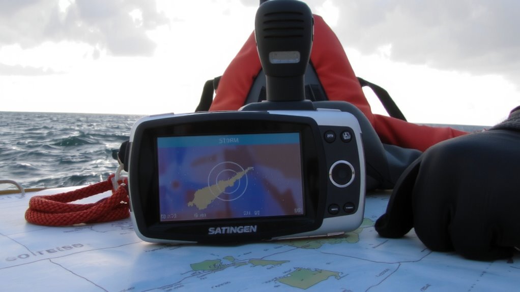
You’ve seen how satellite devices outperform cell networks when storms knock out infrastructure, and now it’s time to look at which models deliver reliable hurricane alerts when it matters most. The Garmin inReach Mini 2 offers strong signal reliability and compact device durability, connecting through the Iridium network for global coverage, even in heavy weather. It sends and receives texts, so you get forecast updates directly. The Zoleo Satellite Communicator is a budget-friendly option with solid signal reliability, though its plastic build feels less rugged. The Somewear Global Hotspot pairs with your phone and delivers decent signal reliability, but battery life is shorter during continuous use. All three withstand moisture and drops, but the inReach Mini 2 leads in overall device durability. Choose based on coverage needs, size, and how long you expect to operate off-grid. Each works, but trade-offs matter when seconds count.
How to Set Up Your Satellite Tracker
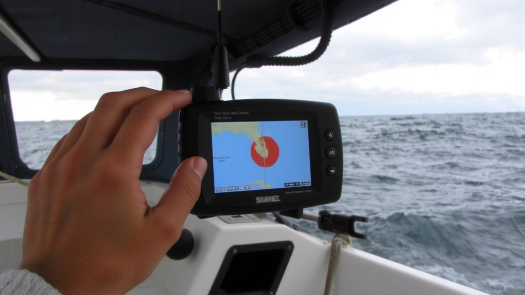
Though setup varies slightly by model, getting your satellite tracker online follows the same core steps across brands. First, power on the device in an open area with a clear view of the sky-obstructions reduce signal strength and delay acquisition. Wait for the GPS to lock; this can take two to five minutes. Once it locates satellites, perform device calibration by following the on-screen prompts to align internal sensors. This step improves tracking accuracy, especially in dynamic conditions. Check signal strength indicators-most devices show bars or numeric values-aim for at least 70% for reliable performance. Position the tracker vertically during use, as antenna orientation affects connectivity. Confirm firmware is up to date, as updates often improve responsiveness and battery efficiency. Test the setup before deployment: send a test message or location ping. A stable connection and accurate position readout mean you’re ready.
Satellite Sources for Hurricane Track Updates
Reliable hurricane tracking starts with the right satellite data source, and not all systems deliver the same level of detail or timeliness. You’ll want access to satellite imagery from geostationary platforms like GOES-East, which provides continuous coverage of the Atlantic basin. This imagery captures cloud patterns, storm intensity, and eye formation every 5 to 10 minutes, enabling real time tracking vital for early decisions. Polar-orbiting satellites add high-resolution data but update less frequently, usually twice daily. For dependable updates, integrate sources like NOAA’s satellite feed or NASA’s Worldview, both offering free, near real-time views. Commercial services such as WeatherXM or DTN may offer faster data parsing or mobile integration, but require subscriptions. Choose based on update frequency, image resolution, and device compatibility. Relying solely on delayed or low-res imagery increases risk when minutes matter.
Critical Hurricane Alerts to Watch
Now that you’ve got real-time satellite imagery feeding into your monitoring setup, it’s time to focus on the alerts that trigger action. Pay close attention to storm surge warnings-they’re often deadlier than wind. When models show surge exceeding three feet, coastal areas must prepare to move. Your satellite device should flag these alerts instantly, giving you time to act. Also monitor updates on evacuation routes; roads can close fast due to flooding or damage. Relying on delayed info risks getting trapped. Confirm route status through NOAA broadcasts or emergency services via your device. Don’t wait-once evacuation orders drop, delays increase danger. Test alert settings now to guarantee critical messages come through clearly. A functional alert system with accurate storm surge and evacuation route updates is essential. It won’t prevent damage, but it improves your odds of getting out safely and on time.
Powering Your Satellite Tracker Through the Storm
Most satellite trackers won’t last more than 8–12 hours on a single charge under continuous use, so you’ll need a reliable power strategy before the storm hits. Start by enabling battery conservation modes-reduce screen brightness, extend check-in intervals, and disable nonessential functions to stretch runtime. A fully charged power bank with at least 20,000 mAh gives you multiple recharges, but once grid power fails, solar charging becomes critical. Use a durable solar panel with a minimum 10W output; on a partly cloudy day, it delivers 3–5 hours of charge over 8 daylight hours. Smaller panels struggle in storm conditions, so rely on high-efficiency models tested in low light. Pair solar charging with disciplined battery conservation, and your device can last 48–72 hours even when the storm cuts off other power sources. For consistent performance, choose a high-efficiency solar charger that performs well in partial shade and low-light conditions.
On a final note
You’ll stay informed when hurricanes strike and cell networks fail. Satellite devices like the Garmin inReach Mini 2 or Zoleo work globally, sending real-time storm updates via Iridium or Globalstar networks. They’re compact, survive harsh conditions, and pair with phones. Battery life ranges 7–14 days, but solar chargers extend runtime. Signal strength varies by terrain and coverage. These tools won’t stop the storm, but they’ll keep you connected when it matters most.