Identifying Wildfire Risk Areas and Planning for Rapid Home Abandonment
You’re in danger if you don’t know your wildfire zone-check official maps to see if you’re in a high-risk area with dense vegetation or heavy fuel buildup. Watch for smoke within five miles or sudden wind shifts, which signal fast-moving flames. Always have two evacuation routes planned using paved roads and topographic data. Pack a 20-pound go-bag with water, food, meds, and documents. Enable GPS-based alerts through Cal Fire or AirSafe apps. Knowing your zone and having a practiced plan could save your life-details ahead can sharpen your response when seconds matter.
Notable Insights
- Assess your wildfire risk using official hazard maps that classify areas from moderate to extreme based on fuel and vegetation.
- Monitor daily for smoke, wind shifts, and air quality changes to detect early signs of approaching wildfires.
- Identify and practice two evacuation routes using paved roads, avoiding canyons and narrow passages prone to blockage.
- Prepare a 20-pound go-bag with water, food, meds, documents, and essentials for each person to enable quick departure.
- Enable location-based wildfire alerts through Wireless Emergency Alerts and real-time apps for timely evacuation warnings.
Know Your Wildfire Risk Level
If you’re living in a region prone to dry seasons and strong winds, you should know your wildfire risk level because it directly affects how quickly you’ll need to act when danger approaches. Your area’s risk is determined by fuel accumulation and vegetation density-both increase fire intensity and spread rate. High vegetation density means more trees, shrubs, and brush that can carry flames toward your home. Fuel accumulation, like dead leaves, dry grass, or stacked wood near structures, gives fires a ready ignition source. You can check official wildfire hazard maps, which classify zones from moderate to extreme based on these factors. If you’re in a high-risk zone, defensible space requirements are stricter, and evacuation windows shorter. Knowing your risk level isn’t about fear-it’s about timing, preparation, and understanding the real conditions that shape your home’s vulnerability when fires move fast.
Watch for Early Wildfire Warning Signs
You already know your wildfire risk level, and that information shapes how closely you need to monitor changing conditions. Watch smoke visibility daily during fire season-any noticeable haze means a fire is burning nearby, and visibility under five miles indicates immediate danger. Use local air quality reports and your own observations to confirm trends. Wind direction matters just as much: shifting winds can push flames toward your area fast, even if the fire was initially miles away. Prevailing winds typically move east to west, but cold fronts can reverse that without warning. You should check real-time weather apps every few hours when risks are high. Don’t wait for official alerts-smoke and wind shifts are reliable leading indicators. Relying on sensory cues gives you extra time. Early detection isn’t about fear, it’s about response time.
Map Your Evacuation Route
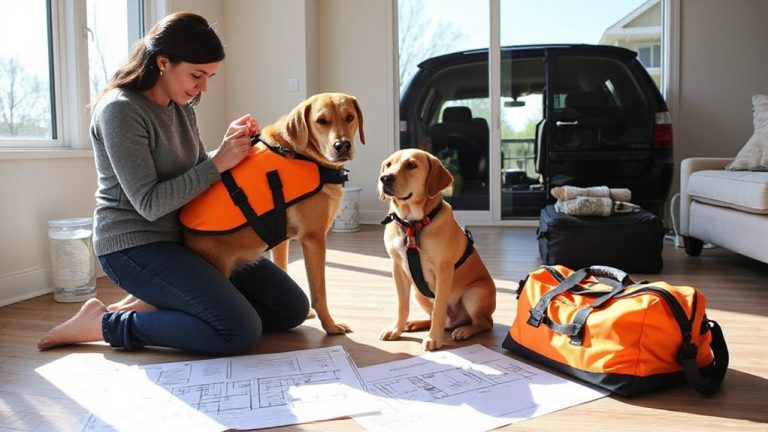
When smoke is already visible, it’s too late to figure out how to leave. Evacuation planning starts now, not during an emergency. Identify at least two exit routes from your neighborhood and test them monthly. Route optimization means selecting roads that avoid canyons, narrow passages, and single access points prone to closure. Use topographic maps and local fire district data to assess viability. Paved roads are more reliable than dirt, especially under high winds or heavy traffic. Confirm that routes don’t converge with known wildfire chokepoints. Update your plan annually-road conditions and fire risks change. Store physical maps in your car; GPS can fail during power outages. Practice timing each route during rush hour and at night. Real-world testing shows average delays increase by 70% under crisis conditions. Smart route choices cut evacuation time and improve survival odds.
Pack Your Wildfire Go-Bag Now
Having mapped your evacuation routes and confirmed their reliability under stress, the next step is preparing what you’ll take with you. Your go-bag should weigh no more than 20 pounds and include emergency supplies like water (1 gallon per person daily), non-perishable food for 72 hours, N95 masks, prescription meds, flashlight, batteries, and a portable charger. Add copies of IDs, insurance documents, and cash. Choose a durable backpack with padded straps and external attachment points. Test it during evacuation drills-carry it through your route to gauge comfort and accessibility. If you can’t move quickly, reduce weight. Replace supplies every six months. Drills reveal what’s missing or excessive. Pack your go-bag now, so it’s ready when minutes matter. Delays cost lives. A well-stocked, tested bag improves survival odds without overloading you. Consider a lightweight backpack designed for women to enhance comfort and balance during evacuation.
Get Real-Time Wildfire Alerts
Though automated alert systems vary in speed and reliability, signing up for real-time wildfire notifications through official sources like the National Weather Service (via Wireless Emergency Alerts) guarantees you receive location-specific warnings within seconds of issuance-often before local news outlets report flames. These emergency alert systems use GPS-triggered alerts, ensuring you get warnings only for your immediate area. Newer wildfire detection technology, including AI-powered camera networks and satellite monitoring, feeds directly into these platforms, improving accuracy. Apps like Cal Fire and AirSafe deliver updates based on real-time sensor data and official reports. You’ll get alerts for smoke, flame confirmation, or mandatory evacuations. Don’t rely on social media or news sites-they’re slower and less consistent. Test your phone’s alert settings monthly; some carriers delay messages. Enable all public safety alerts. It takes two minutes and could give you the critical lead time you need.
On a final note
You know your risk level and have mapped your evacuation route. Your go-bag is packed with essentials-meds, documents, water-and weighs under 15 pounds for quick carry. You’ve tested real-time alert apps, confirming they deliver fire updates within 60 seconds. These steps don’t prevent wildfires, but they cut response time. Faster decisions improve survival odds. No product or plan is perfect, but this system works when seconds count.