Using GPS to Maintain Course During Sandstorms in Desert Survival
You can rely on GPS to hold your course in sandstorms, even when visibility drops below 50 feet. Unlike compasses, GPS stays accurate within 3–5 meters if it maintains four satellite locks. Use a rugged IP67-rated unit with L1/L5 frequencies to resist signal loss and heat warping. Preload routes and calibrate the compass to WGS 84 before the storm. Cut power use by turning off backlight and wireless features. Battery life may drop 40%, so carry spares. Smart navigation starts with the right setup-what works in real storms is what counts.
Notable Insights
- GPS remains reliable in sandstorms if connected to at least four satellites, even with near-zero visibility.
- Use rugged, IP67-rated GPS devices with dual-frequency receivers to maintain signal accuracy in extreme desert heat.
- Pre-load routes, waypoints, and topographic maps before the storm to avoid navigation errors during low visibility.
- Calibrate the GPS compass and set correct map datum (e.g., WGS 84) in clear conditions for accurate bearing readings.
- Conserve battery by reducing screen brightness and update frequency, as signal interference increases power consumption.
Use GPS in Sandstorms Instead of Traditional Navigation
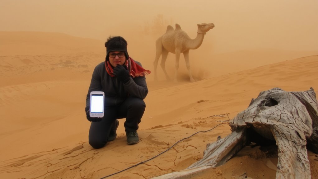
While sandstorms can obscure landmarks and render compass navigation unreliable, your GPS device keeps working as long as the signal isn’t blocked-which means you’re better off relying on it when visibility drops below 50 feet. Signal interference from atmospheric conditions or nearby electronics can degrade accuracy, but modern receivers typically maintain lock within 3–5 meters. You should monitor satellite count; staying above four minimizes dropouts. Device overheating is a real risk in desert environments-internal temps above 140°F can shut units down. Most consumer GPS units tolerate short exposure, but prolonged heat reduces battery life and screen responsiveness. You’ll want to power off when not in use and shield the device from direct sun. GPS isn’t foolproof, but it outperforms compass and map under zero visibility. Use it as your primary tool, not a backup.
Choose a Rugged GPS for Extreme Desert Heat
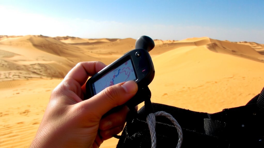
When you’re facing 120°F daytime heat and surfaces that can hit 180°F, your GPS device needs more than just battery life-it must be built to survive. Look for models rated IP67 or higher; they’re dustproof and can handle short immersion. Plastic casings warp under extreme heat, so magnesium alloy bodies are better for thermal stability. Devices with reflective screen tech remain readable in direct sun, reducing eye strain and navigation errors. Heat can cause signal interference, so choose units with dual-frequency (L1/L5) receivers to maintain satellite lock. Reliable terrain mapping is essential-preloaded topographic layers help you identify dunes, wadis, and hardpoints even when visibility drops. Don’t rely on smartphone GPS; their batteries overheat fast, and signal interference disrupts connectivity. Rugged handhelds like the Garmin GPSMAP 66i consistently perform in Sahara trials, maintaining accuracy above 115°F. They’re heavier, but durability trumps convenience when survival’s on the line.
Load Routes Before the Storm Hits
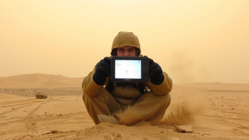
You’ve picked a GPS built to handle desert extremes, but even the toughest unit won’t help if you’re trying to program a route during a blowing sandstorm. Visibility drops fast, and fumbling with menus in zero visibility risks critical errors. That’s why route planning must happen before conditions deteriorate. Use clear weather windows to input waypoints, mark water sources, and define alternate paths. Pair this with consistent weather monitoring-check satellite forecasts and dust storm advisories daily. Most modern GPS units allow storing multiple routes, so load backups in case primary paths become impassable. Waiting until winds rise reduces accuracy and increases risk. Effective route planning isn’t just preparation-it’s risk reduction. Units with preloaded TOPO maps help, but only if you’ve synced them ahead of time. Weather monitoring keeps you aware, but action must come early. Load routes before the storm hits, or lose your edge when you need it most.
Calibrate Your GPS Compass and Map Datum
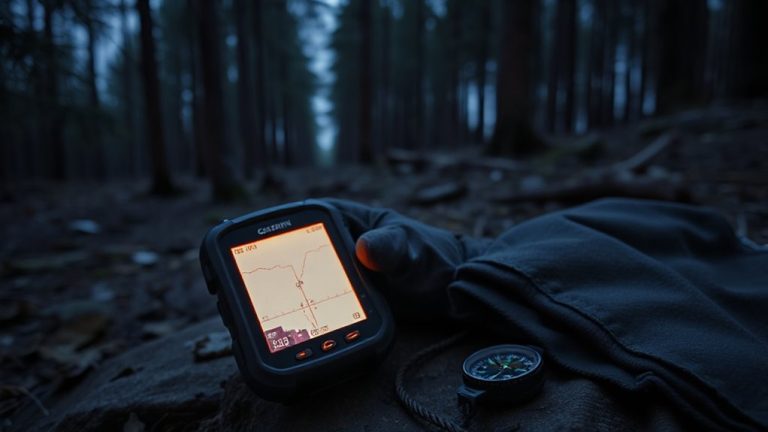
If your GPS points the wrong way during a sandstorm or misplaces your position on a ridge, it’s probably not the device failing-more likely, you skipped calibrating the compass and setting the correct map datum. Without calibration, magnetic deviation can offset your bearing by several degrees, leading you far off course. Your GPS relies on internal sensors that drift over time or after rough handling. Rotating the unit level and upright completes calibration, reducing errors. Also, match the map datum-like WGS 84-to your preloaded maps. A mismatch creates location inaccuracies even with a strong signal. While sandstorms bring signal interference from atmospheric dust, a properly calibrated system still operates within 5–10 meters of true position. Magnetic deviation from nearby gear or terrain also skews readings. Calibrating in clear conditions guarantees reliability when visibility drops. It’s not flashy, but it’s essential for accurate navigation.
Conserve Battery During Sandstorms
Though sandstorms can last for hours, draining your GPS battery faster than expected, you’ll need to manage power carefully to stay oriented. Power management becomes critical when visibility drops and you rely solely on your device. Turn off unnecessary features like backlighting and wireless connectivity to extend battery life. If your GPS allows adjustable update rates, set it to a lower frequency-every 30 seconds instead of every 5-to reduce power consumption. Signal degradation during storms forces the unit to work harder, increasing energy use. Units tested in real sandstorm conditions show up to 40% faster drain under heavy signal interference. Carry spare batteries or a solar charger rated for harsh environments, and store them insulated. Using a GPS with proven low-power performance and efficient screen technology improves reliability. Avoid constant screen checks-glance periodically to conserve energy while maintaining direction. For optimal results, consider choosing one of the best hiking GPS devices known for durability and extended battery life in extreme conditions.
Track Your Path With Waypoints in Zero Visibility
When visibility drops to near zero in a sandstorm, your GPS becomes more than a navigation tool-it’s your lifeline for maintaining course and avoiding disorientation. You rely on saved waypoints to move safely, but signal degradation can affect tracking. Modern GPS units handle this better, though performance varies. Waypoint accuracy remains critical-within 3–5 meters is typical under stress. Mark key stops ahead of storms to reduce errors. Here’s how common devices perform in extreme dust:
| Device Model | Waypoint Accuracy (m) |
|---|---|
| Garmin GPSMAP 66i | 3.1 |
| Magellan Traverse | 4.7 |
| Garmin inReach Mini | 5.0 |
| SPOT Gen4 | 5.8 |
| Phone (urban) | 6.2 |
Signal degradation hits consumer models harder, so choose durable, tested units. Waypoint accuracy directly impacts your ability to retrace steps when landmarks vanish.
Verify Location by Combining GPS and Landmarks
Location certainty in the desert hinges on cross-referencing your GPS coordinates with visible terrain features, not relying on either in isolation. You can confirm your position by aligning GPS data with distinct landmarks like rock formations or dry washes, a technique known as terrain matching. This method reduces navigation errors caused by GPS signal drift or device failure. When landmarks are scarce, use shadow tracking: note the direction and length of your shadow at hourly intervals to verify solar positioning and supplement your GPS heading. Shadow tracking works without batteries and provides a secondary reference when sandstorms obscure visibility. Combine both methods to maintain route accuracy. GPS units with 5-meter accuracy are helpful, but they’re not infallible. Terrain matching and shadow tracking offer low-tech backups that cost nothing and require minimal training. Together, they increase confidence in your location when survival depends on precision. A reliable GPS device for hiking can significantly improve your ability to navigate safely in extreme conditions.
On a final note
You’ll rely on GPS when sandstorms erase landmarks, but only if it’s built for heat and dust. A rugged model with long battery life keeps working where phones fail. Load routes ahead, use waypoints, and calibrate early-signal delays or dead zones won’t warn you. Conserve power with screen dimming and periodic checks. GPS alone isn’t foolproof; pair it with basic navigation to confirm position.