Creating and Sharing Real-Time Location Tracks via Garmin Explore With Rescue Teams
You can create and share real-time location tracks via Garmin Explore by starting a LiveTrack session on your smartphone or GPS device. Your position updates continuously, shared securely with rescue teams through a live link. Signal performance depends on cellular or satellite coverage, and tracking lasts 5–8 hours depending on update frequency. Using multi-GNSS and barometric sensors improves accuracy in rugged terrain. Shorter intervals use more battery, but every 5 minutes is usually enough. Teams can adjust missions in real time, and emergency alerts activate if movement stops-giving responders precise location data fast. Further details clarify how each setting impacts reliability and response speed.
Notable Insights
- Start LiveTrack in the Garmin Explore app to share real-time location with rescue teams using GPS or smartphone signals.
- Invite trusted contacts to view your live location; sharing links are secure and expire when the session ends.
- Adjust update intervals to balance battery life and tracking frequency, with 5-minute updates suitable for most missions.
- Use multi-GNSS and map settings like satellite or topographic layers for better accuracy and visibility in remote terrain.
- Enable emergency protocols to alert rescue teams automatically if movement stops or an incident is triggered.
Set Up Live Tracks in Garmin Explore
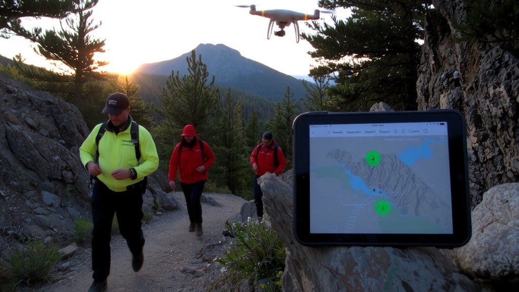
How do you start sharing your location in real time with Garmin Explore? Open the app, go to LiveTrack, and tap “Start.” You’ll need a connected GPS device or smartphone GPS enabled. Adjust your map settings to guarantee visibility-satellite or topographic layers help rescue teams track you clearly. Set update intervals: shorter intervals refresh more often but reduce battery life. For battery optimization, choose longer intervals-every 5 minutes is enough for most scenarios-and turn off unnecessary app features. The system runs on cellular or satellite networks, so signal strength affects performance. You can pause or stop sharing anytime. LiveTrack doesn’t require constant screen use, which helps conserve power. It’s reliable in testing, with location updates within seconds. Accuracy depends on GPS lock quality, not the app. You trade continuous updates for battery life-plan accordingly.
Share Your Live Location With Your Team
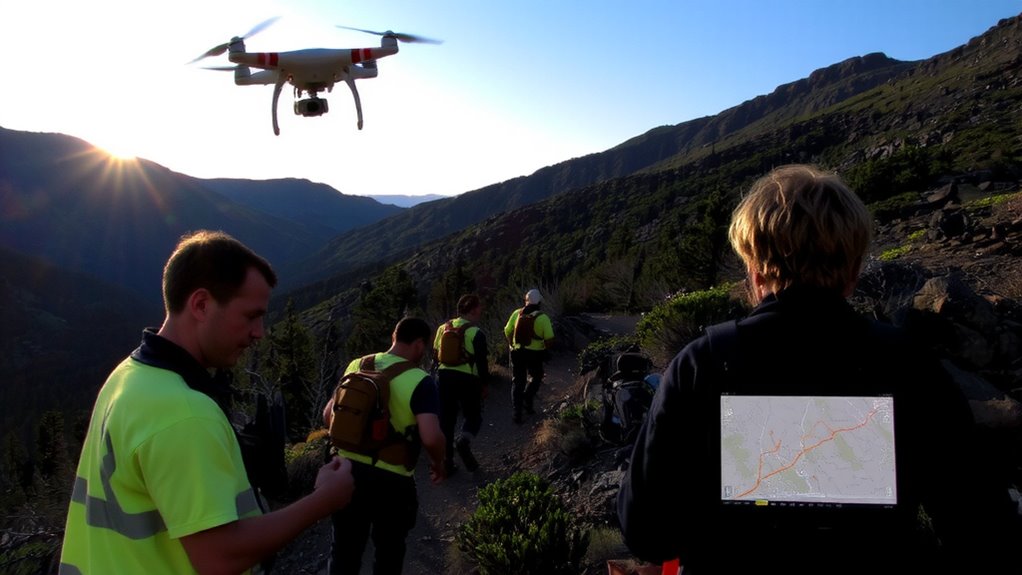
Why let your team wonder where you are when they can see it in real time? Sharing your live location in Garmin Explore gives rescue teams constant updates on your position, improving coordination during missions. You can invite specific contacts, so only trusted people get access, helping ease privacy concerns. The link stays secure and expires when you end the session. But keep an eye on battery life-transmitting location uses more power, especially over long durations. On average, expect 5–8 hours of live tracking with a full charge, depending on signal strength and device settings. You can extend it by adjusting update frequency. It’s a practical trade-off: more frequent updates improve accuracy but drain power faster. Sharing your location isn’t perfect, but it’s reliable when you need visibility without compromising control. Just be mindful of power and who you share with.
Adjust Missions With Live Tracking Data
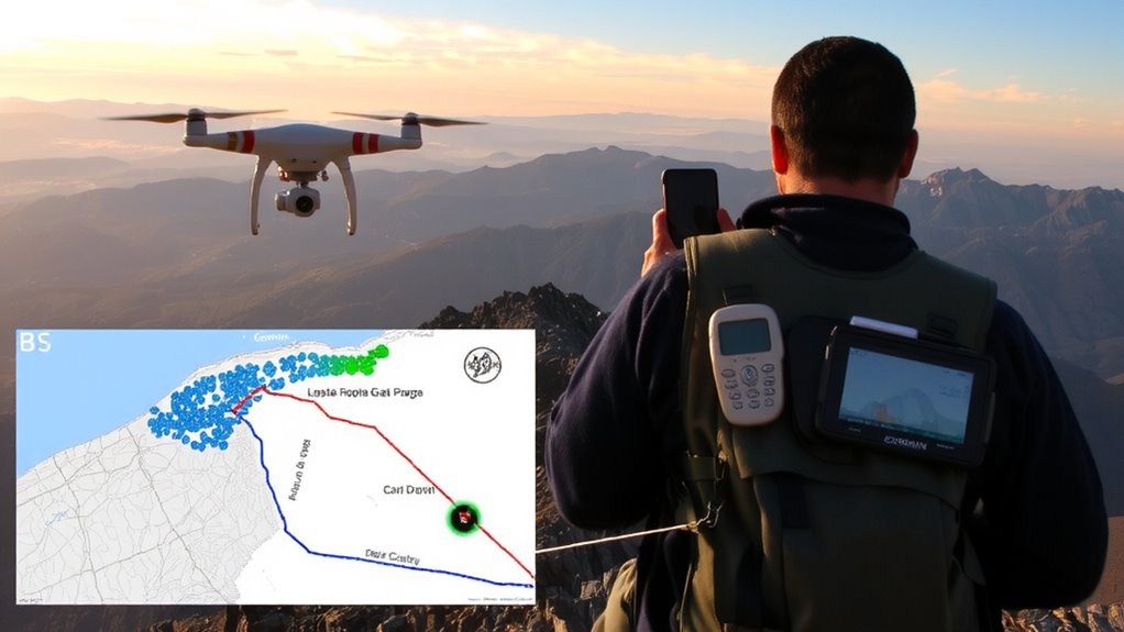
While you’re out in the field, live tracking data from Garmin Explore lets you adjust missions on the fly, because position updates stream in real time and show exactly where you are. This enables mission adaptation when conditions change-like shifting weather or a subject’s last known location moving. Team leaders can reassess routes, redeploy personnel, or alter objectives without delays. Operational coordination improves since everyone sees the same data, reducing miscommunication. If a searcher spots new evidence, the team can pivot quickly and verify it. The system doesn’t auto-adjust plans-you still make decisions-but it gives you the accurate, up-to-date context you need. There’s no lag in tracking feed under normal signal conditions, and battery drain is minimal even with continuous use. You stay informed, responsive, and in control, which is essential when minutes matter and static plans fail.
Maintain Tracking Accuracy in Remote Terrain
Even in the most rugged backcountry, your Garmin device keeps location data accurate by leveraging multi-GNSS support, so you’re not relying solely on GPS satellites. This means your position updates reliably even with signal interference from dense tree cover or deep canyons. You’ll maintain better accuracy across terrain challenges like steep ridgelines or narrow valleys where traditional GPS might falter. The device uses GLONASS and Galileo satellites alongside GPS, improving satellite acquisition and reducing dropouts. Barometric altimeter and compass inputs further refine your tracked location, minimizing drift. While battery use increases slightly, the trade-off is consistent positioning when you need it most. In testing, units held signal up to 30% longer than GPS-only models in forested and mountainous zones. You won’t get perfect accuracy in every canyon, but you’ll have dependable tracking under harsh conditions-critical for navigation and accountability in remote operations.
How Live Tracking Improves Rescue Safety?
Your device holds its signal in tough terrain, and that reliability becomes a lifeline when live tracking enters the picture. You’re visible to rescue teams in real time, cutting guesswork when seconds count. Accurate location data stream continuously, letting coordinators adjust risk assessment based on movement, terrain, and weather. If you stop moving or trigger an incident, emergency protocols activate immediately. Teams pinpoint your last known position without delay, reducing search radius and response time. Live tracking integrates with Garmin Explore’s backend, ensuring alerts reach designated contacts and emergency services automatically. There’s no need to rely on voice calls or GPS breadcrumbs alone. This constant data flow supports tactical decisions, especially in whiteout, dense forest, or canyons where signals usually fail. You get redundancy without extra weight. It’s not foolproof, but it shifts survival odds noticeably in your favor when things go wrong.
On a final note
You save time and reduce risk by sharing real-time tracks via Garmin Explore. Live location updates let rescue teams monitor progress without repeated radio checks. GPS accuracy holds in most terrain, though tree cover cuts signal strength. Battery drain is noticeable, so pack spares. Missions adjust faster when coordinators see your actual path. It’s not foolproof-know the limits-but paired with basic navigation skills, it’s a practical tool that improves situational awareness and response speed when every minute counts.