Using GPS Elevation Profiles to Identify Safe Descent Routes in Rugged Terrain
You’re risking eight times your body weight on your knees with every step down, so rely on GPS elevation profiles to spot drops and false valleys before they catch you off guard. A 50% gradient over 30 meters isn’t obvious on a 2D map, but a 3-meter accurate GPS profile will flag it. Use live apps with gradient color-coding and offline support to adjust routes on the fly-steep, loose sections over 20% demand caution. Knowing where the real drop-offs are changes how you move; what’s next could save your descent.
Notable Insights
- Use elevation profiles to detect steep gradients exceeding 15%, which increase slip and fatigue risks during descents.
- Identify sudden drops by analyzing elevation data with 3-meter GPS accuracy to avoid hidden cliffs.
- Cross-check GPS elevation charts with topo lines to confirm passability and spot false valleys.
- Differentiate sustained steep sections from short drops using slope analysis for safer route planning.
- Leverage live GPS apps with real-time elevation tracking to adjust descent routes amid changing terrain.
Why Downhill Trails Are Deceptively Dangerous
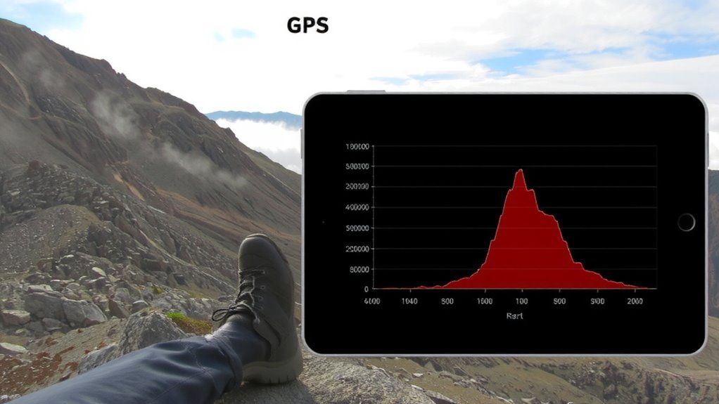
Why do most hikers assume downhill trails are easier? You’re still moving forward, but gravity works against you. Descents increase impact on knees by up to 8 times body weight, raising injury risk. Loose rocks are common on downhill stretches, reducing traction and requiring constant micro-adjustments. One misstep on unstable terrain can lead to a fall. You’re more exposed during wildlife encounters, too-animals often inhabit lower elevations and are more active at dawn or dusk. Your visibility drops on shaded, winding paths, limiting reaction time. Even fit hikers underestimate fatigue buildup over long descents. Traction control matters more than speed, so proper footwear with aggressive lugs is essential. GPS elevation tools help identify sustained drops early, but terrain texture and biological hazards remain unpredictable. Confidence on downhills comes not from fitness alone, but from preparedness for uneven surfaces and sudden obstacles.
How Elevation Profiles Reveal Hidden Drop-Offs
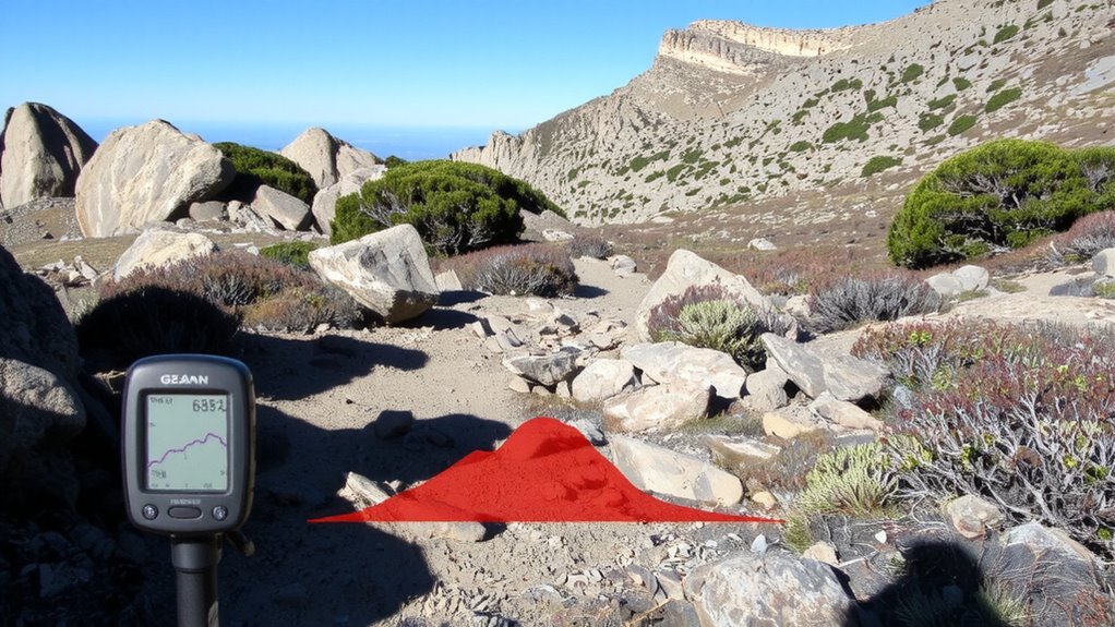
How often do you glance at a trail map and assume it’s mostly flat-only to find yourself teetering on the edge of a steep, unmarked drop? Elevation profiles cut through terrain blindness by showing exact grade changes every 10 meters. What looks like a gentle slope on a 2D map can reveal a 60% incline when viewed in profile. Without this data, cliff misjudgment becomes likely, especially in fog or low light. GPS tools with 3-meter vertical accuracy detect sudden elevation drops before you reach them. You’ll see a sharp downward spike-your warning to stop and reassess. Relying on sight alone risks overestimating safe footing. The profile doesn’t lie: a 15-meter drop in 30 horizontal meters means a 50% gradient, far steeper than most trails. Use the elevation graph as a predictive filter, not just a record. It turns guesswork into measurable risk assessment, reducing exposure to unexpected drop-offs.
Read GPS Charts to Avoid False Valleys
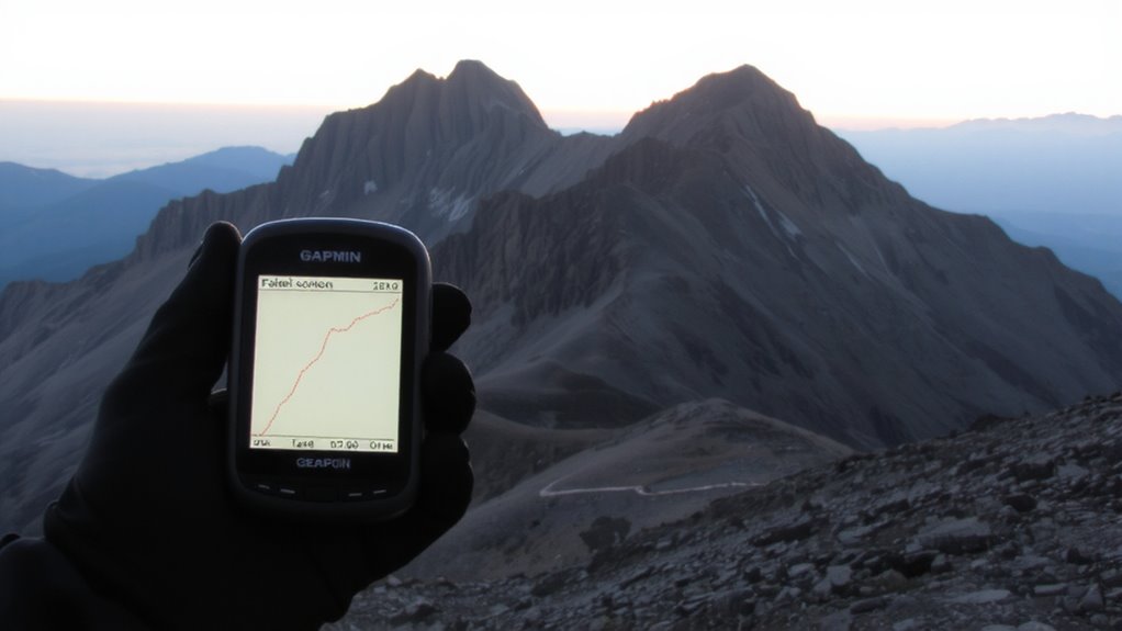
Even if a valley looks like a natural descent on a map, it might dead-end into a cliff or steep ravine that’s hard to spot from afar. GPS charts help you avoid false valleys by revealing elevation changes your eyes might miss. Elevation masking can hide sharp drops, making terrain appear passable when it’s not. Terrain smoothing in some apps exaggerates gentle slopes, increasing risk. Always cross-check raw elevation data with topo lines.
| Feature | Risk | Solution |
|---|---|---|
| Elevation masking | Hides abrupt drops | Use high-res GPS profiles |
| Terrain smoothing | Flattens steep sections | Switch to raw elevation data |
| False valleys | Lead to dead-ends | Verify with contour spacing |
Check elevation at key points-don’t assume. A smooth-looking descent could be impassable.
Compare Trail Steepness Using Gradient Data
When you’re comparing trails, looking at gradient data gives you a clearer picture of what you’ll actually face on foot. Steepness matters-trail gradients above 15% increase slip risks and fatigue, especially when descending. Using slope analysis, you can spot sustained pitches versus short, sharp drops that might look similar on a basic map. A trail with consistent 10–12% grades is easier to manage than one with frequent 20% sections, even if total elevation loss is the same. GPS tools display these gradients color-coded, letting you compare segments visually. Flatter isn’t always safer, but sudden increases in slope demand caution. Always cross-check gradient spikes with terrain type-rocky or loose dirt on a 20% slope raises fall potential. You’re not just choosing a route; you’re evaluating control. Accurate slope analysis helps you pick paths where you can stay balanced, conserve energy, and reduce injury risk.
Plan Safer Descents With Live GPS Apps
A reliable live GPS app gives you real-time elevation tracking and route feedback, which matters most when descending tricky terrain. You can see exactly how steep the trail gets ahead, helping you adjust your pace or path before conditions become dangerous. Real time tracking updates your position every few seconds, so you won’t miss a sudden drop-off or loose scree field. With route customization, you can pre-load safer alternatives or adjust on the fly if weather or fatigue changes your priorities. Some apps highlight elevation loss per mile, letting you compare descent intensity across routes. Others integrate with satellite networks for offline use, which is critical in remote areas. Battery use increases with constant tracking, so carry a portable charger. Apps like Gaia GPS and AllTrails offer these features without overcomplicating the interface. Test them on shorter hikes first to judge responsiveness and accuracy under real conditions. For even greater reliability, consider a dedicated GPS device for hiking that combines robust offline navigation with longer battery life and durable construction.
On a final note
You can trust GPS elevation profiles to spot risky drops and false valleys most trail maps miss. Steepness gradients show where slopes exceed safe limits, helping you choose manageable descents. Live apps update your route in real time, but they rely on accurate data and battery life. Always cross-check with offline backups. Relying solely on any single tool increases risk-use elevation data as one practical layer in your decision-making, not a guarantee.