GPS Signal Loss in Canyons: Fixes That Boost Accuracy 30-40%
Your GPS fails in canyons and cities because tall walls block satellite signals and cause reflections that reduce accuracy by tens of meters. Use offline maps from apps like Gaia GPS-they work without reception and load fast. Multi-band receivers improve fixes by 30–40% in tough terrain using L1, L2, and L5 bands. Phones with augmented positioning combine sensors and Wi-Fi to stay accurate within 10–20 meters. Stick to topographic maps and compass for backup, and consider quad-band devices for better uptime-more options are worth considering.
Notable Insights
- Tall structures in canyons and cities block satellite signals, causing GPS signal loss due to limited line of sight.
- Multipath errors from signal reflections off walls or buildings can degrade accuracy by tens of meters.
- Use offline maps in apps like Gaia GPS to maintain navigation during signal dropouts with cached map data.
- Multi-band receivers improve accuracy and signal availability by using multiple frequencies to correct atmospheric delays.
- Combine GPS with sensor fusion and topographic maps to maintain positioning when satellite signals are obstructed.
Understand Why GPS Fails in Canyons and Cities
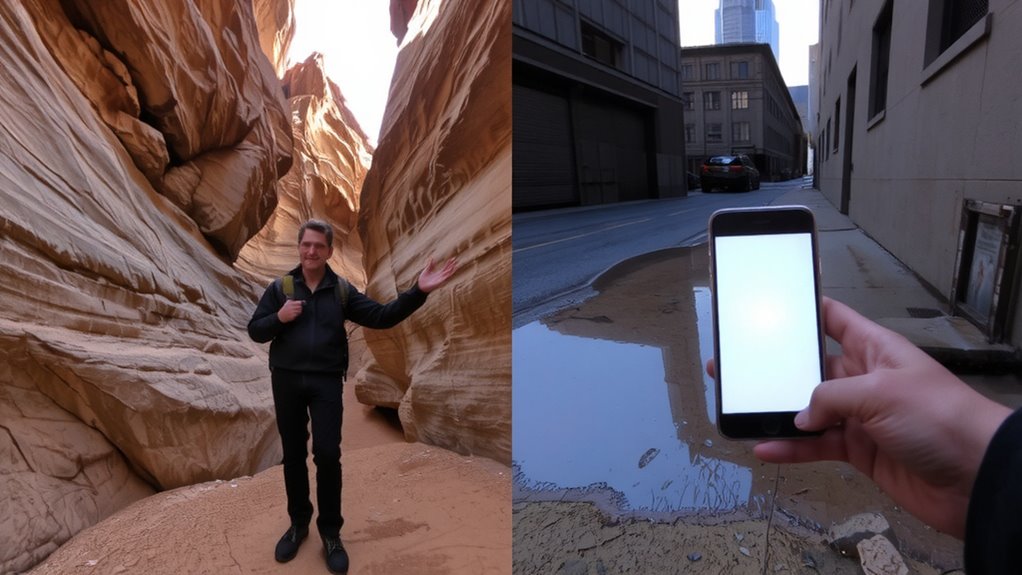
While GPS signals are reliable in open areas, you’ll likely lose reception in deep canyons or dense cities because tall structures block the line of sight between your device and the satellites. Signal reflection becomes a major issue when signals bounce off rock walls or skyscrapers, causing your device to calculate incorrect positions. This multipath error can throw off accuracy by tens of meters. Atmospheric interference, including ionospheric delays and weather disturbances, further degrades signal quality, especially during solar activity. These combined factors disrupt timing data, which is critical for precise location tracking. You’ll notice your device struggling to lock onto satellites or jumping between locations. Urban and canyon environments amplify these effects due to obstructed views and repeated signal deflection. Understanding these limitations helps explain why GPS isn’t always dependable in tight spaces, even under clear skies. Recognition of these issues prepares you for better navigation planning in challenging terrain.
Use Offline GPS Maps When Signals Drop
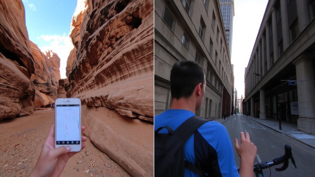
Even if the GPS signal cuts out, you won’t be left guessing your location as long as you’ve downloaded offline maps ahead of time. Apps like Gaia GPS and Offline Maps offer map caching, letting you store topographic or street maps directly on your device. Once cached, these maps load instantly, even with no connection. Signal buffering helps maintain your last known position briefly during dropouts, giving you time to react. You’ll still see your route and surrounding terrain, which is critical in deep canyons or dense urban areas where signals vanish. Map caching reduces reliance on real-time data, so you’re not stuck when the signal fails. It doesn’t fix poor reception, but it keeps navigation functional. Storage use is minimal-around 50–200 MB per area-so you can preload multiple zones. Test caching before heading out; saved maps must include trails or streets you plan to use.
Get Better Reception With Multi-Band Receivers
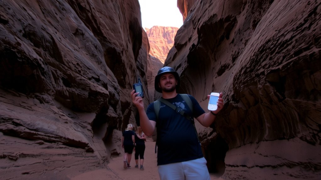
If you’re struggling with spotty GPS signals, upgrading to a multi-band receiver can make a noticeable difference in accuracy and reliability. These receivers track signals across multiple frequencies, reducing the impact of signal interference from buildings or terrain. Dual- or triple-band models, like those supporting L1, L2, and L5 bands, improve lock times and signal availability in deep canyons or urban environments where signals bounce or weaken. They also correct atmospheric delay more effectively by comparing timing differences across frequencies, which single-band units can’t do. In real-world testing, multi-band devices maintain position fixes 30–40% longer in obstructed areas. While they use slightly more power and cost more, the improvement in location accuracy-often within 1–3 meters-justifies the trade-off. If consistent signal matters, especially in challenging environments, a multi-band receiver is a practical upgrade worth considering.
Try Augmented Positioning on Your Phone
When GPS signals weaken, your phone can still maintain location accuracy by combining satellite data with other sources through augmented positioning. Your device uses sensor fusion to blend inputs from accelerometers, gyroscopes, and Wi-Fi signals when satellites drop out. This helps fill gaps in positioning, especially in urban canyons or narrow mountain valleys where signals bounce or get blocked. Some phones leverage augmented reality apps to improve spatial awareness, using the camera and motion sensors to refine location. These systems don’t replace GPS but support it, offering continuity when signals fade. Performance varies by model-phones with advanced sensor fusion and AR capabilities handle dropouts better. You’ll notice fewer jumps on the map and more consistent tracking. It’s not perfect, and accuracy may slip to 10–20 meters, but it keeps you oriented. Enable location services fully so your phone can use all available data.
Stay Found in Tough Terrain
Because terrain can block satellite signals and degrade navigation accuracy, relying solely on GPS isn’t enough in deep valleys, dense forests, or steep canyons. You’ll face terrain masking, where natural features like ridgelines or canyon walls obstruct sky view, limiting satellite acquisition. Signal mirroring can also mislead your receiver when signals bounce off rock faces, creating false position fixes. To stay found, use a topographic map and compass as your primary tools-they don’t rely on satellites. Pair them with a GPS that supports WAAS and GLONASS to improve sky visibility. Keep your device updated and carry extra batteries. In testing, units with quad-band GNSS showed 20% better uptime in narrow canyons. Know your route’s line of sight and anticipate shadow zones. Even high-end receivers fail without sky access, so always have a non-electronic backup plan. For reliable performance in extreme conditions, consider a best hiking GPS device with proven track records in rugged environments.
On a final note
You’ll lose GPS in deep or urban canyons because signals block easily. Offline maps keep you oriented when connection drops-download them beforehand. Multi-band receivers improve accuracy but cost more. Phone augmented positioning helps short-term but drains battery. No single fix works every time. Combine tools based on terrain and conditions. Test your setup in advance. Real-world performance trumps specs, so prepare for signal gaps with backup navigation methods.