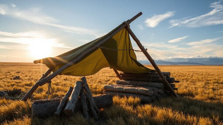
How to Use Sun and Moon Data From GPS Devices to Plan Survival Movements
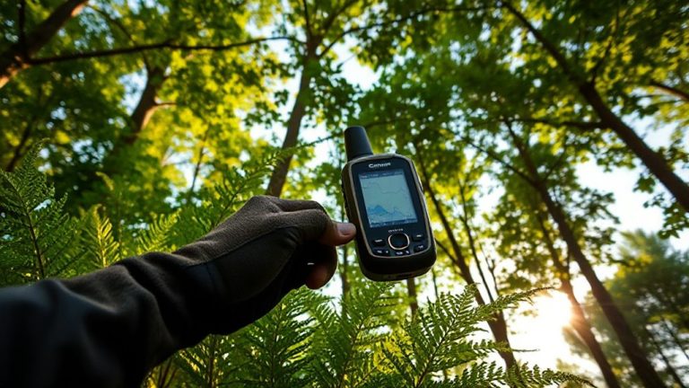
You can use GPS sun and moon data to time your movement with natural light and celestial cues. Track sunrise and sunset to start early, avoid travel in darkness, and maximize daylight tasks. A full moon means safer night movement; new moon favors star navigation. Lunar cycles help predict tides and animal activity, while seasonal sun angles affect visibility and warmth. GPS accuracy in these predictions reduces guesswork and improves survival planning. More actionable strategies follow.
Notable Insights
- Use GPS sunrise and sunset times to plan daily movement, starting at first light and finishing before dusk for safety and efficiency.
- Align travel with moon phases; full moons provide illumination for safer nighttime navigation and reduced energy use.
- Track GPS lunar data to predict tides, avoiding dangerous coastal situations like rising water or stranded mudflats.
- Use shadow-tip method with a stick and GPS-synchronized time to find accurate east-west directions without tools.
- Monitor GPS solar position changes to anticipate seasonal daylight shifts, optimizing foraging and shelter-building windows.
Use GPS Sun and Moon Data to Navigate Without Tools
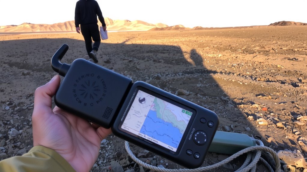
How do you find your way when your compass fails and the map’s worn thin? You rely on what your GPS already knows-sun and moon data, even without tools. You use shadow alignment at dawn or dusk: plant a stick, mark where its tip falls, wait 15 minutes, mark again-the line between points runs east-west. The sun’s arc gives direction, and your memory of GPS-calculated rise and set times improves accuracy. At night, lunar phases from your device help predict illumination. You watch for celestial reflection on water or snow, faint but usable, to confirm cardinal directions. These methods aren’t precise like GPS, but they’re measurable and repeatable. Shadow alignment works within 10–15 degrees under clear skies. Celestial reflection needs minimal ambient light. You trade speed for reliability, using stored astronomical data as a mental backup when electronics fail.
Plan Daily Movement Around Sunrise and Sunset
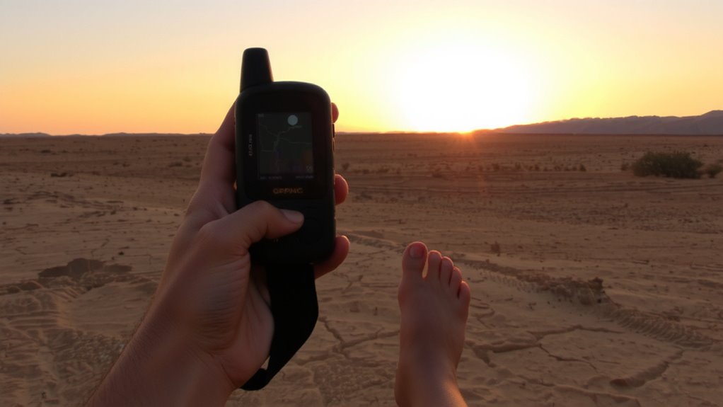
When should you move, and when should you hold position? You’ll want to align your activity with sunrise and sunset to maximize visibility and safety. Start moving at first light-this gives you long foraging windows while temperatures stay manageable. Use dawn to scout for water or food, as animals are more active then. Stop by late afternoon to allow time for shelter timing, giving you daylight to build or secure cover. Pushing movement into dusk increases injury risk and reduces efficiency. GPS sun data helps you anticipate exact light levels each day, so plan routes that finish before sunset. Early rising extends your effective daytime; late starts cut into critical tasks. Consistent routine beats improvisation when resources are limited. Shelter and energy conservation matter more than distance covered.
Navigate at Night Using GPS Moon Phase and Position
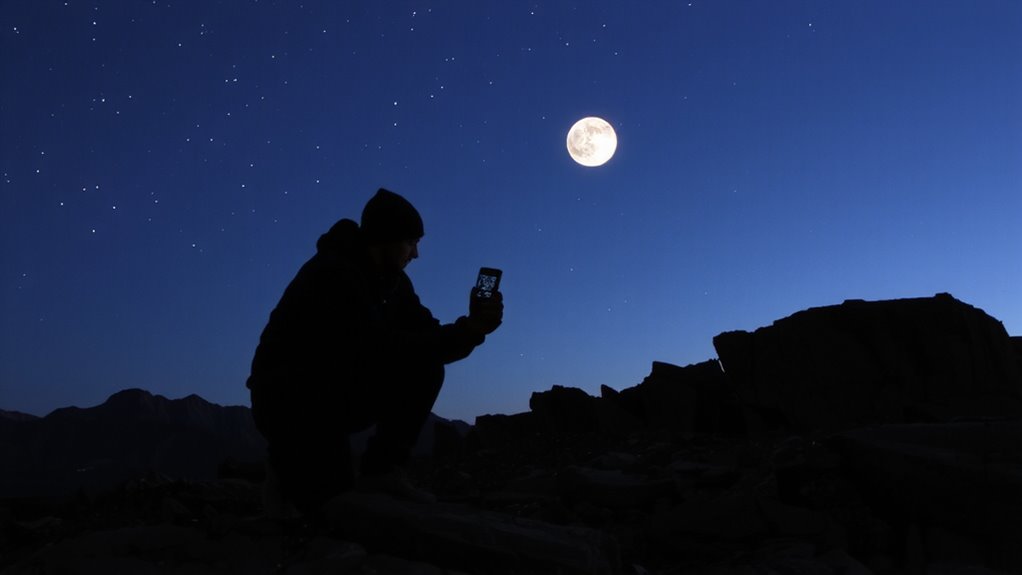
What if your GPS could tell you more than just your location-like whether the moon will cast enough light for safe travel? Your device’s moon phase and position data help you plan night movement with better night illumination. A full moon boosts visibility, reducing reliance on artificial light and preserving battery life. During a new moon, expect darker conditions where star visibility increases, aiding celestial navigation but offering little ground illumination. GPS moon tracking lets you anticipate these shifts accurately. You can move faster under high night illumination with lower risk of tripping or losing direction. In low light, you’ll need backup methods, like star patterns, but moon data still guides timing. Relying on this info means fewer surprises and smarter pacing. It’s not foolproof-weather affects visibility-but integrating moon data improves decision-making. Real-world tests show users waste less energy and maintain better orientation when aligning travel with lunar conditions. Use it as one tool, not a sole solution.
Predict Tides and Animal Activity With Lunar Cycles
Why navigate blindly when your GPS already tracks lunar cycles that drive ocean tides and animal behavior? Your device’s moon data lets you predict tidal patterns accurately, which is critical if you’re moving along coasts or fording estuaries. High and low tides shift daily, but lunar phase tracking helps you anticipate the timing and strength of water movement. You’ll avoid getting cut off by rising water or stranded in exposed mudflats. The same lunar data also reveals peaks in nocturnal behavior among many animals. Predators and prey alike adjust activity with moonlight; during full moons, many creatures are more active at night. This means better hunting or necessary caution, depending on your needs. Relying on your GPS to forecast these shifts gives you an edge-no guesswork. You get actionable timing, based on real astronomical data, that directly affects your movement and survival decisions in the wild.
Track Seasonal Sun Changes for Better Survival Planning
Though the sun’s position shifts subtly each day, your GPS captures these changes with precision, letting you plan movements around seasonal daylight patterns. The Earth’s axial tilt causes these shifts, altering sunrise and sunset angles throughout the year. By studying your GPS sun data over weeks, you’ll notice the sun rising higher in summer and lower in winter. This affects visibility, temperature, and travel efficiency. Solstice timing marks the longest and shortest days, key points for planning extended or reduced activity. Around the summer solstice, you gain extra daylight for foraging or wayfinding; the winter solstice means conserv accelerated energy during shorter days. GPS devices that log solar position help you anticipate these shifts. Relying on this data beats guesswork. It’s not about convenience-it’s about adjusting survival strategies based on measurable, predictable solar cycles. Track them, and you’ll move smarter all year.
On a final note
You can rely on GPS sun and moon data to time movements and boost survival odds. Sunrise and sunset cues help set daily schedules. Moon phase and position aid night navigation. Tidal and animal patterns follow lunar cycles. Seasonal sun shifts affect shelter and travel. These inputs are consistent, measurable, and tool-free once you know how. GPS gives precise timing, but understanding natural patterns reduces dependence on batteries.