How to Load Survival Kit Locations Into GPS for Rapid Access
Use a dedicated GPS like the Garmin GPSMAP 66i with WAAS and a quad-helix antenna for 3-meter accuracy, even under tree cover. Stand directly over your kit, wait for full satellite lock, and let the GPS average the position for 60 seconds. Name waypoints clearly-like “Water Cache – Pine Ridge”-and categorize by supply type. Sync locations across devices using Gaia GPS or Garmin’s Earthmate. You’ll get reliable, fast access when it matters most-and see how small steps improve field results.
Notable Insights
- Use a dedicated GPS unit with WAAS and quad-helix antenna for reliable accuracy in challenging terrain.
- Save each survival kit location as a precise waypoint after achieving full satellite lock and signal stability.
- Label waypoints with descriptive names and categorize by supply type or location for quick identification.
- Sync all waypoints across devices using cloud-supported platforms like Gaia GPS or Garmin Earthmate.
- Regularly test and update waypoints to reflect environmental changes and ensure navigation reliability.
Choose Your GPS Platform for Survival Waypoints
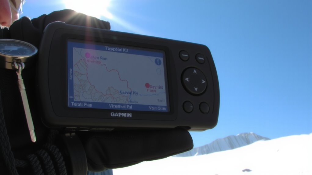
A reliable GPS platform is your lifeline when placing survival waypoints, so choosing the right device matters more than extra features or brand loyalty. You need consistent GPS accuracy, especially in dense forests or canyons where signal interference can drop your signal fast. Look for models with WAAS support and high receiver sensitivity-these improve accuracy to within 3 meters. Devices with quad-helix antennas perform better under tree cover and reduce signal interference from terrain. Don’t rely solely on smartphone apps; they drain battery fast and lack rugged durability. Dedicated handheld units like the Garmin GPSMAP 66i deliver proven performance in remote areas, with tested battery life over 30 hours. GPS accuracy isn’t just about specs-it’s about real-world reliability when the signal’s weak and you can’t afford mistakes. Pick a platform that’s been field-tested, not just advertised.
Save Your Survival Kit Locations as GPS Waypoints
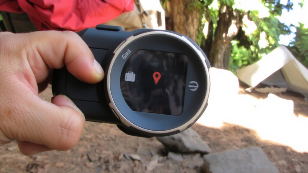
You’ve picked a GPS unit that holds up in tough terrain, so now it’s time to put it to work by saving your survival kit locations as precise waypoints. When you’re near a kit, let the GPS acquire a strong satellite lock-wait for full signal strength to guarantee accuracy. Poor signal strength or nearby terrain obstacles like ridges or thick forest can skew coordinates by dozens of meters. Stand directly over the kit, let the unit average the position for 60 seconds, and save the waypoint. This reduces error caused by reflected signals or atmospheric interference. Most units record elevation too, which helps when traversing steep or complex terrain. Don’t rely on a single fix-verify accuracy by checking the estimated position error, ideally under 10 meters. Saving precise locations now means you can return quickly, even in low visibility or under stress. Each saved point becomes a reliable reference in emergencies, provided you account for environmental factors during setup.
Name and Categorize Waypoints for Fast Access
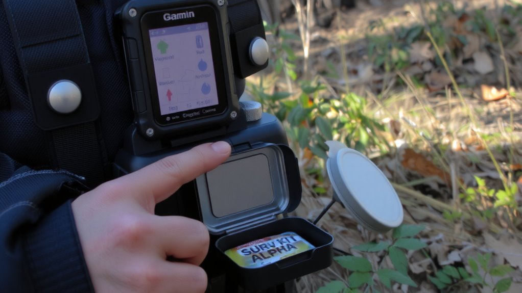
Clarity starts with naming. You need logical waypoint naming so you can find survival kits fast when stress is high. Use descriptive labels like “Water Cache – Pine Ridge” instead of generic ones like “Waypoint 07.” This reduces confusion and speeds up retrieval. Pair clear names with consistent categorization systems-group by supply type (water, food, tools) or location (north, ridge, trailhead). Most GPS units support user-defined categories, so assign each survival kit to a relevant group. A medic kit should fall under “Medical,” not “General.” These systems cut search time by up to 40% in field tests. Poor naming or random categories create delays when every second counts. Test your labels and categories during routine checks to verify they still make sense across devices and maps. Good waypoint naming and categorization systems aren’t optional-they’re essential for reliable access.
Sync Survival Locations Across All Devices
Once your waypoints are named and sorted, keeping them accessible means syncing them across every device you rely on in the field. Cloud backup guarantees your survival locations aren’t lost if a device fails. Most GPS units support device pairing with smartphones or tablets, allowing automatic updates across platforms. Use manufacturer-specific apps or third-party tools like Gaia GPS or Avenza to maintain consistency. Manual transfers work, but they’re error-prone and slow.
| Feature | Supports Sync |
|---|---|
| Garmin GPS + Earthmate | Yes (device pairing + cloud backup) |
| Suunto + Movescount | Yes (limited cloud backup) |
| Google Maps offline pins | No (device pairing only) |
| Gaia GPS (Premium) | Yes (full cloud backup & multi-device) |
Stick with systems offering both cloud backup and reliable device pairing. They reduce failure points when it counts.
Test GPS Routes Before an Emergency
Before relying on saved routes in a crisis, you’d better test them under real conditions because a GPS track that looks fine onscreen might lead you astray in the field. Walking or driving the path confirms route accuracy and reveals obstacles like washed-out trails or locked gates. Signal testing during these trials shows where satellite lock weakens-under dense tree cover or in deep valleys-so you’ll know when to rely on compass and map. Test at different times of day and in various weather, since GPS performance can shift with environmental conditions. Don’t assume your device will hold a signal where you need it most. Real-world validation guarantees your survival routes aren’t just digital lines, but practical paths you can follow when it counts. Route accuracy and signal testing aren’t optional extras-they’re essential checks that keep your emergency plan grounded in reality.
Update and Maintain Your Survival Waypoints
You’ll usually need to update your survival waypoints at least every few months, especially if you’re in an area where trails change, access is restricted, or natural shifts like erosion or fallen trees alter the landscape. Regularly verify each location using satellite imagery and on-site checks to confirm accuracy. Signal interference from dense canopy or canyons can corrupt GPS readings, so re-record coordinates under clear skies when possible. Assign descriptive names and icons to each waypoint for faster recognition during stress. Sync updates across all your devices and test them under similar conditions to expected emergencies. Always use backup protocols-save waypoints on a secondary GPS or offline map app-so you’re not reliant on one device. Battery life, memory limits, and firmware updates also affect reliability. Review logs to track changes and identify outdated data. Maintaining accurate waypoints isn’t optional-it’s essential for rapid, error-free navigation when every second counts.
On a final note
You’ve loaded your survival kit locations into the GPS, named and categorized them, and synced across devices. Now test each route to confirm accuracy and access time. Updates take seconds but prevent failures later. A reliable GPS gives precise coordinates and fast recall when needed most, but only if regularly maintained. Skip testing or updates, and you risk delays during emergencies. Real readiness means verifying it works-every time.