Google Maps Offline for Evacuations: Save 5 Regions Free
Download evacuation routes in Google Maps before losing signal, since offline navigation relies on GPS and pre-loaded data. You can store up to five regions for free, each valid for 30 days unless used, extending to 90. Plan your route while online-offline mode won’t reroute or show traffic. Voice navigation doesn’t work without data. For reliability, pair it with physical maps and check updates monthly. There’s more to think about for true emergency preparedness.
Notable Insights
- Download regional maps in advance using Google Maps’ offline feature to ensure access during power outages or signal loss.
- Plan and set your destination before losing connectivity, as routes must be calculated while online.
- Offline navigation relies on GPS, so maintain a clear view of the sky for accurate location tracking.
- Manually update offline maps every few weeks to ensure accuracy, especially before disaster seasons.
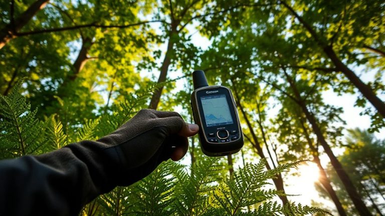
- Combine offline maps with physical atlases and external GPS devices to improve reliability during emergencies.
Download Google Maps Offline Before Disaster Strikes
While you can’t predict when a power outage or natural disaster will knock out connectivity, you can prepare by downloading Google Maps offline ahead of time-because when networks go down, having preloaded maps could mean the difference between finding your route and getting stranded. You can download regional maps for free, but you must manage storage limits wisely; each area takes up space, and larger regions may exceed device capacity. Google allows up to five offline maps per device by default, though paid tiers offer more. Cache updates occur automatically when online, but infrequent access means your data may become outdated. To stay current, manually trigger refreshes weekly. Maps remain functional for up to 30 days without an update, after which they expire. Planning ahead guarantees coverage when it matters most. Storage and freshness are trade-offs you’ll need to balance.
Navigate Evacuation Routes With No Cell Service
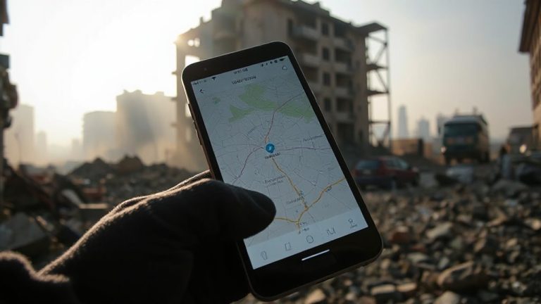
You’ve downloaded your offline maps, but knowing how to use them during an actual evacuation is what keeps you moving when cell service drops. Offline navigation works without data, relying on GPS satellites for location tracking, so your phone must have a clear sky view. Open Google Maps, enter your destination before losing signal, and let route planning calculate the best path using pre-downloaded map data. The app updates your position in real time, even with no network. Turn-by-turn directions still function, but avoid rerouting, as new paths may fail without live data. Stick to major roads during emergencies-they’re more reliably mapped. Zoom in during route planning to confirm street names and exit points. Battery use increases during extended GPS use, so conserve power with screen dimming and airplane mode. Offline navigation isn’t flawless, but it’s reliable enough for essential route planning when signal is lost. Test it before you need it.
Keep Your Offline Maps Accurate for Emergencies
Since offline maps rely on cached data, they won’t reflect roads, closures, or landmarks added after download-so don’t assume what’s on your screen is current. You need regular map updates to maintain data accuracy, especially before disaster season. Google doesn’t automatically refresh offline areas, so you must manually check every few weeks. Open the app, go to your downloaded map, and tap “Update” if available. Outdated maps can mislead during evacuations-wrong turns could cost time or fuel. A map updated two months ago may miss a new highway closure or detour. For emergencies, aim to refresh offline regions monthly. Stored maps expire after 30 days unless used, but active use extends them to 90. Even then, don’t trust them indefinitely. Data accuracy drops over time. Mark your calendar for updates like you would a fire drill-consistent checks keep your navigation reliable when signal fails.
What Google Maps Offline Can’t Do (And How to Prepare)
Even with a downloaded map, you won’t get turn-by-turn voice navigation if you lose service, because routing calculations require an internet connection. You’ll see your location on the map, but real-time directions aren’t possible. This means you need to study your planned evacuation route beforehand. Google Maps offline has limited functionality-no live traffic, incident alerts, or automatic rerouting. If roads are blocked, you’ll have to adjust manually. Also, cached maps may contain outdated data, especially if not refreshed recently. Road closures, new construction, or changed exits won’t appear. To prepare, download maps shortly before any potential emergency and verify key routes using official evacuation plans. Pair the offline map with a physical road atlas and a GPS device if possible. Relying solely on your phone increases risk when conditions change. Plan for these gaps.
Why You Should Use Google Maps Offline in Disasters
While cell service often fails during disasters, having a downloaded map in Google Maps can keep you oriented when you need it most. You won’t get live traffic or route recalculations, but you can still see your location, zoom in and out, and trace evacuation paths using stored data. This capability supports core emergency planning by ensuring access to key roads, landmarks, and exit routes, even with no signal. Offline maps don’t drain your battery faster than normal use, so you can rely on them longer. Including offline maps in your disaster readiness routine takes minutes but adds measurable value. You’ll trade real-time updates for dependable access-worth the compromise when connectivity drops. Pre-downloading maps of high-risk areas means you’re not relying on hope or hardware that might fail. It’s a practical step that pairs with physical maps and local alerts.
On a final note
You’ll need download access and storage space, but offline Google Maps gets you moving when cell service drops. It shows roads, labels, and basic route options-enough to follow evacuation paths. Accuracy depends on how recently you updated the map. It won’t reroute around real-time roadblocks or traffic, so pair it with local emergency alerts. For navigation under stress, it’s reliable but limited. Plan ahead, verify routes, and keep a paper backup.