Digital Survival Cache Maps: GPS Coordinates Guide (Gaia GPS)
Ditch paper maps-they fade, tear, and won’t survive wet conditions. Use offline GPS apps like Gaia GPS or Topo Maps+ to record stash locations with 3–5 meter accuracy. Save coordinates in KML or GPX format across encrypted devices, and back them up in the cloud. Tag each pin with supplies, quantities, and access steps. Revisit every six to twelve months to update data. Share access securely with password protection and two-factor authentication-there’s more to get right if you want it to last.
Notable Insights
- Use offline GPS apps like Gaia GPS or Topo Maps+ to record and access cache coordinates without cellular or Wi-Fi.
- Store coordinates in durable digital formats like KML or GPX for cross-platform compatibility and long-term preservation.
- Place GPS pins only after signal stabilization to ensure 3–5 meter accuracy in open terrain.
- Tag each cache with detailed inventory, quantities, expiration dates, and access instructions in the map’s digital notes.
- Securely share maps via encrypted, password-protected cloud storage with two-factor authentication and revocable access.
Ditch Paper: Go Digital for Survival Caching
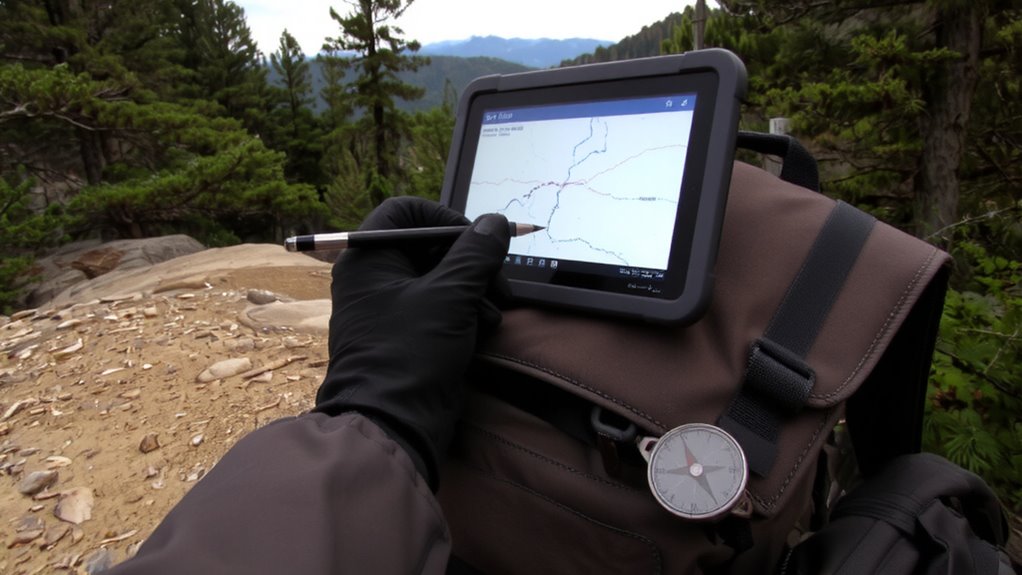
You’re better off leaving paper maps in the past when it comes to survival caching-digital options give you more precision and reliability without the bulk. Paper degrades, gets lost, or becomes unreadable in wet conditions, while digital files stay intact across devices. Use digital redundancy by storing cache coordinates on multiple devices like phones, tablets, and dedicated GPS units. That way, if one fails, you’re not left blind. Pair this with cloud backups so your data syncs automatically and stays protected even if hardware is damaged. Encryption keeps files secure, but keep access simple under stress. File formats like KML or GPX guarantee compatibility across platforms. Digital maps support zoom, layering, and exact coordinate entry, reducing navigation errors. While electronics need power, modern battery banks and solar chargers solve most runtime concerns. Overall, digital systems offer better durability, accuracy, and backup potential than paper ever could. For reliable navigation in remote areas, consider using a dedicated GPS device designed specifically for outdoor use.
Pick a GPS App That Works Offline
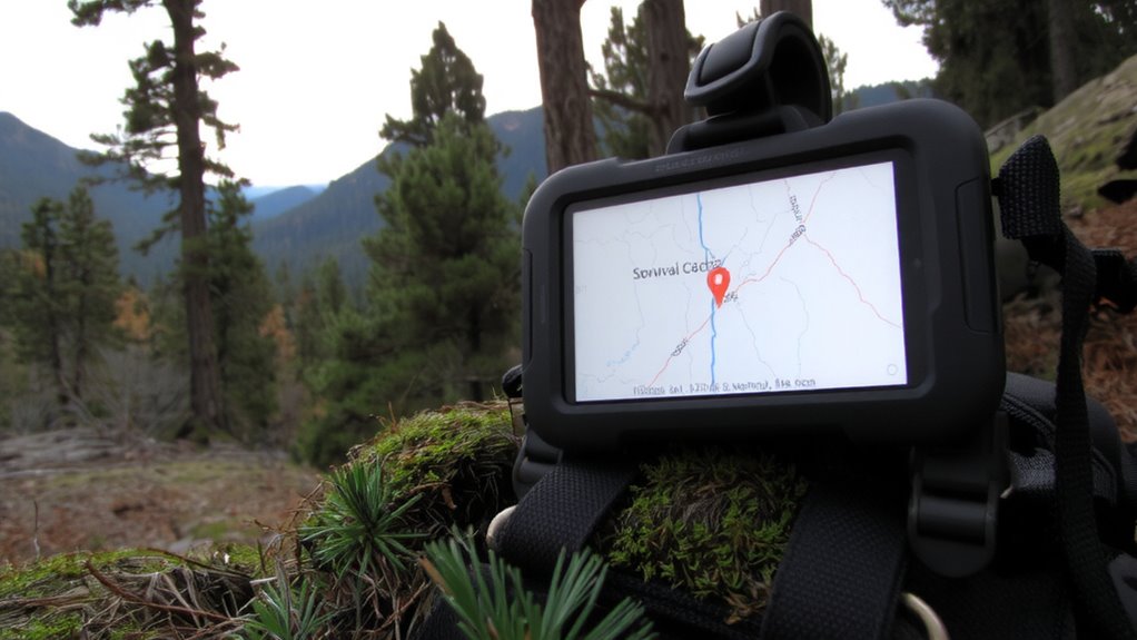
Storing coordinates digitally means nothing if you can’t access them when the grid goes down, so the app you choose must work without cellular or Wi-Fi. You need offline functionality baked into the core-apps like Gaia GPS and Topo Maps+ let you download maps in advance and navigate using only GPS. App reliability hinges on consistent performance under stress, so pick one that doesn’t crash when signal drops or battery runs low. Test it beforehand in remote areas. Data encryption is non-negotiable; your cache locations shouldn’t be exposed if your phone is lost or seized. Look for AES-256 encryption or similar to lock down stored coordinates. Free apps often lack these features or hide them behind paywalls. A paid version with offline use, strong reliability, and encrypted storage gives you real security. Don’t trust your survival plan to an app that quits when you need it most.
Pin Your Stash With Exact GPS Spots
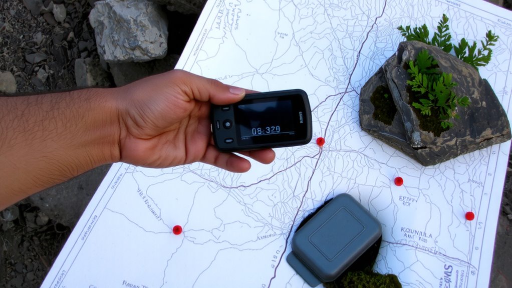
A precise GPS coordinate is only as good as the accuracy of the device and method used to record it. You need to capture each cache’s location at the exact spot, waiting for the signal to stabilize-most consumer-grade GPS units offer 3–5 meter accuracy under open sky. Use your chosen offline app to place a pin right where you bury or hide the stash. Assign distinct pin colors to differentiate cache types-red for medical, blue for food, green for tools-so you can react fast in a crisis. Organize these markers across custom map layers, separating short-term caches from long-term ones or varying them by terrain type. This reduces clutter and keeps navigation simple. Don’t rely on default settings; manually verify each pin’s coordinates against multiple readings. A small error now could mean wasted time later when every second counts.
Tag Caches With Supply Details and Instructions
Now that the pins are set and your caches marked on the map, it’s time to make them meaningful. Tag each location with clear supply inventory details-list contents like water purifiers, calorie-dense rations, or first-aid kits, noting quantities and expiration dates. This guarantees you know exactly what’s available without digging. Include access protocols: specify if a cache requires a code, tool, or specific disassembly method to open. These notes prevent delays in high-stress situations. Use simple text fields in your mapping app or attach a digital note linked to the pin. Avoid vague descriptions-write “100 rounds 5.56mm ammo, MREs (3), fibroid trauma dressing” instead of “survival gear.” Accurate tagging balances speed and completeness. Overloading details slows retrieval, but too little leaves uncertainty. Labeling with supply inventory and access protocols turns a basic stash into a reliably functional node.
Verify Accuracy and Update Locations Regularly
Even if you mapped your caches last year, conditions on the ground change-so your data must too. Over time, terrain shifts, landmarks disappear, and GPS signals can drift, making old coordinates unreliable. That’s why routine coordinate validation is essential-you can’t afford to arrive at a cache and find it’s off by 30 meters or buried under debris. Conduct regular location auditing: revisit each site annually, or every six months in high-risk areas, and re-record the GPS coordinates using the same device settings to maintain consistency. Note environmental changes like erosion, construction, or new vegetation that might impact access. Update your digital map immediately after each check. Using apps with timestamp tracking helps log when each verification occurred. Accuracy degrades over time without active maintenance, so treat your cache map like a living document-verify early, verify often, and trust the updated data when it matters most.
Share Map Access Without Compromising Security
How do you let someone access your digital cache map if they need it-without risking exposure if the device falls into the wrong hands? Use secure sharing methods that rely on encryption and temporary access. Share maps through password-protected files or secure cloud services with two-factor authentication. Set up access control so only authorized users can view or edit the data. You can grant view-only access to limit changes. Some apps allow you to revoke access remotely if a device is lost. Avoid sending GPS coordinates over unencrypted messages. Instead, use platforms that log access and provide audit trails. This guarantees you know who viewed the map and when. Secure sharing isn’t just about convenience-it’s about minimizing risk. With proper access control, you maintain ownership while giving trusted individuals the info they need, only when they need it.
On a final note
You save space and avoid wear by going digital. Most GPS apps work offline, but test yours before relying on it. Pin each cache within three meters accuracy. Label contents and access instructions clearly. Check coordinates yearly-terrain changes. Sharing the map? Use password protection or split access. Digital beats paper in durability and precision, but only if backed up. A corrupted file or dead phone risks loss, so keep a secondary device synced.