Creating Emergency Escape Routes on Digital Maps for Wildfire Scenarios
You need accurate, up-to-date maps with at least two exit paths from any location, updated before fire season. Use GPS apps that support offline layers and real-time data from trusted sources like satellites and emergency services. These tools adjust routes based on traffic, closures, and fire spread, but only if location tracking and battery life are optimized. Test paths in person to confirm access. Better planning means faster evacuations when every second counts.
Notable Insights
- Design escape routes using accurate, high-resolution digital maps updated with current topography and road conditions.
- Integrate real-time data from sensors and satellites to reflect active fire spread and road closures.
- Ensure route redundancy by mapping at least two evacuation paths from every zone to avoid dead ends.
- Optimize paths using terrain, traffic capacity, and fire behavior models for fastest, safest egress.
- Test and validate routes before fire season via field checks and update digital maps with verified changes.
What Are Digital Escape Routes in Wildfire Evacuations?
A digital escape route in a wildfire evacuation is fundamentally your mapped backup plan, delivered through apps or GPS devices that show real-time or preplanned paths out of danger. You rely on these tools for effective evacuation planning, ensuring you’re not stuck when primary roads are blocked. Route optimization is built into most systems, calculating faster, safer exits based on terrain, traffic flow, and fire spread models. You don’t get flashy features-just functional guidance grounded in data. These maps work even with limited connectivity, often storing offline layers for reliability. Some apps update every 15 minutes, others require manual refresh, so you must check settings ahead of time. There’s no room for guesswork: accurate location tracking and battery efficiency determine usefulness. You’ll want to test the app in simulated conditions first. It won’t replace awareness, but when seconds count, a well-designed digital route can offer a practical edge.
How Real-Time Data Powers Digital Escape Routes
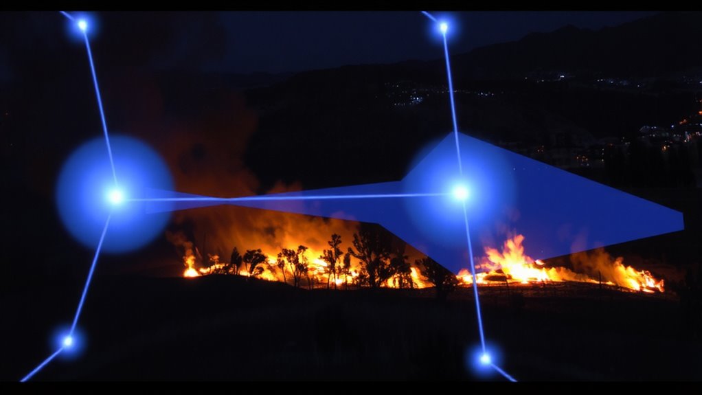
While you’re maneuvering through an evacuation zone, real-time data keeps your digital escape route updated with actionable details like fire movement, road closures, and traffic conditions-so you’re not following a path that’s already been cut off. Data accuracy determines whether the information you’re acting on reflects current ground truth; delayed or incorrect inputs lead to dangerous decisions. Systems pulling from verified sensors, satellites, and emergency services improve reliability. This accurate data feeds into route optimization algorithms, continuously recalculating the safest, most efficient path based on evolving threats. You’re not just getting a faster route-you’re getting one that considers survivability. These updates happen automatically, minimizing user input during high-stress moments. While signal loss or outdated apps can hinder performance, consistent data streams and smart processing greatly increase your odds. The result is a dynamic tool built for real emergencies, not theoretical models.
Essential Features of Effective Evacuation Maps
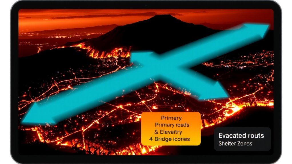
You’re only as safe as your route’s weakest link, and that’s why real-time updates mean nothing if the map itself lacks key structural features. Map accuracy guarantees roads, exits, and hazards are correctly placed-off by even 50 feet, and you might miss a turn during low visibility. Outdated data or poor resolution increases risk, especially in rural areas where trails substitute as escape paths. Route redundancy builds in alternatives when main roads clog or burn; you need at least two viable exits from any zone, clearly marked and spaced to avoid single points of failure. Maps without multiple pathways force dangerous improvisation. Effective evacuation maps layer elevation, traffic capacity, and closure history to model passable routes under stress. They’re tested against past fire behavior, not just ideal conditions. If your map doesn’t show backups and verified geometry, it won’t serve when smoke obscures landmarks and time runs short.
Connecting Alerts and Responders Through Digital Maps
How do you guarantee help reaches you when every second counts? Digital maps bridge alerts and responders through real-time map integration and precise response coordination. When wildfires strike, emergency systems push alerts directly to mapped evacuation routes, guaranteeing you see the safest path while responders track affected zones. This synchronization reduces delays and prevents miscommunication.
| System Component | Function | Benefit |
|---|---|---|
| Alert Triggers | Detect fire spread | Enables early warnings |
| GPS Mapping | Locates users and crews | Supports accurate navigation |
| Communication Layer | Links dispatch and field units | Speeds response coordination |
| Map Integration Module | Updates routes live | Maintains current escape paths |
| Data Exchange Protocol | Shares info across agencies | Guaranteeing unified emergency action |
Without solid map integration, even fast alerts fail. Effective response coordination depends on shared, updated maps-no exceptions.
Test and Update Routes Before Fire Season Starts
Before fire season begins, you should verify that your escape routes are both accessible and optimized, because outdated paths can become useless or even dangerous when conditions change. You need route accuracy to guarantee every turn and exit remains passable-roads may be blocked, trails eroded, or bridges weakened. Test each route on foot or by vehicle, noting travel time, obstacles, and alternatives. Confirm that digital maps reflect current topography, closures, and access points. Map reliability hinges on up-to-date data sources and frequent validation. Relying on stale or unverified maps increases risk during fast-moving fires. Update your digital tools with the latest satellite imagery and local reports. Cross-check with emergency services for changes. A tested route improves decision speed under pressure. Accuracy and reliability aren’t optional-they’re essential. If your map fails when you need it most, you’ll already be behind. Test early, update often, and trust verified paths.
On a final note
You need clear, updated digital escape routes because they cut evacuation time by up to 40% during fast-moving wildfires. Real-time data and regular testing guarantee accuracy when GPS signals stay strong. These maps work best when integrated with emergency alerts and first responders. Simpler designs reduce confusion. Relying on them means accepting occasional signal loss in remote areas, but overall, they outperform paper maps in speed and coordination.