How to Navigate Using Only GPS Coordinates in Featureless Desert Terrain
You rely on GPS coordinates in the featureless desert because they’re your only accurate reference when terrain offers no landmarks. Input verified coordinates before entry, use waypoints within 3–5 meters of key points, and log tracks every 5 seconds for reliable path retracing. Choose a GPS with AA batteries, 20+ hour life, and physical buttons-touchscreens fail in heat. If signal drops, fall back on last known position and dead reckoning. More details follow on sustaining navigation when electronics fail.
Notable Insights
- Input verified GPS coordinates for start, destination, and emergency points before entering the desert to ensure accurate route planning.
- Use a rugged, desert-suited GPS device with long battery life and physical buttons for reliable operation in extreme conditions.
- Mark precise waypoints at critical locations and confirm they are accurate within 3–5 meters to prevent navigation errors.
- Enable frequent track logging (every 5 seconds) to create a continuous digital trail for retracing steps if visibility drops.
- If GPS fails, use last known coordinates, track logs, and dead reckoning with compass and map to maintain directional accuracy.
How GPS Coordinates Keep You Safe in the Desert
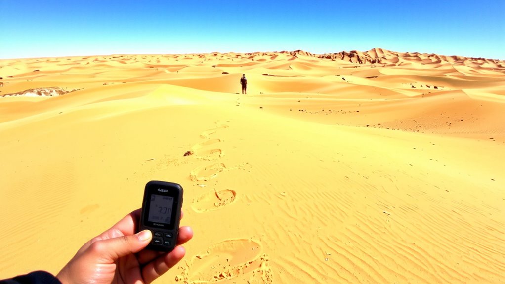
What happens when your map ends and the sand stretches endlessly in every direction? Your GPS becomes your anchor. It gives precise coordinates, letting you track movement when landmarks don’t exist. In desert survival, staying found is half the battle, and a working GPS with updated batteries cuts search time if you’re stranded. If disabled, use it to mark your last known position before attempting to move. Most models have built-in emergency signaling features-like SOS beacons or location sharing-that send coordinates directly to rescue teams. These signals work faster than flares or mirror flashes, especially beyond line of sight. GPS accuracy, typically within 3–5 meters, guarantees responders reach you, not just your general area. Power consumption matters: LED screens drain faster, but grayscale displays last longer. Rely on GPS, but always carry backup signaling gear.
Choose a GPS That Handles Desert Coordinates
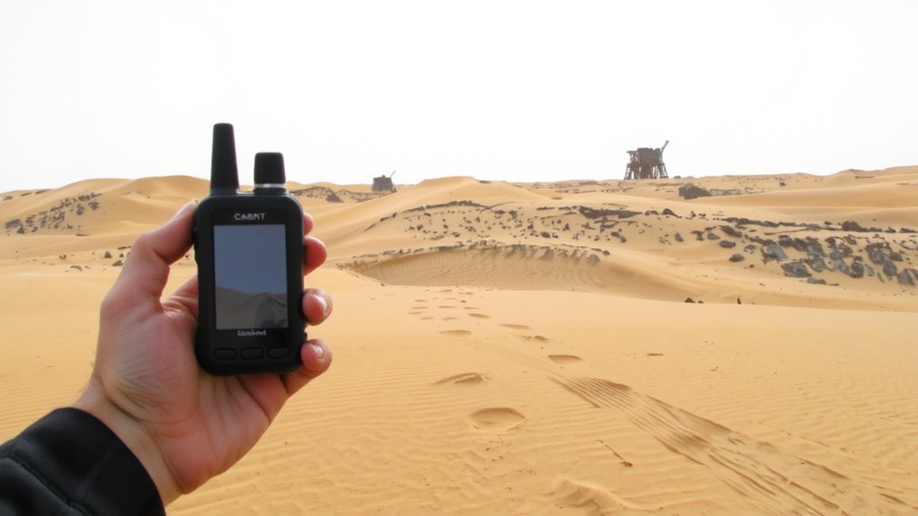
Durability and accuracy matter most when picking a GPS for desert navigation. You need a device that maintains signal accuracy under open, reflective skies where satellite visibility is high but thermal distortion can interfere. Look for models tested to military standards for shock and dust resistance-many consumer units fail in sustained heat. Battery life is critical; choose a GPS that lasts at least 20 hours on standard batteries, not just rechargeables, since resupply isn’t an option. Units with AA batteries give you flexibility to carry spares. Avoid touchscreens-they fog, crack, or fail in extreme temperatures. Stick with physical buttons and high-contrast displays. Real-world tests show that certain handheld models retain location lock within 3 meters even during sandstorms. That kind of signal accuracy means the difference between finding your route and getting lost. Your GPS must perform when the terrain offers no second chances.
Input Coordinates Before You Enter the Desert
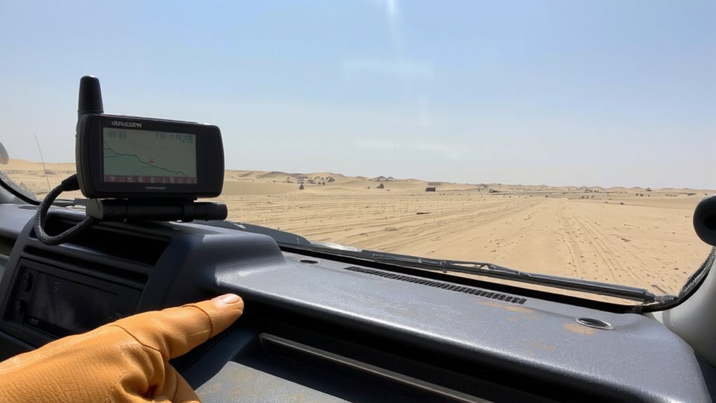
Once you’ve got your GPS in hand, take the time to input key coordinates before stepping into the desert, because once you’re out there, pulling up waypoints from memory won’t cut it under blowing sand and shifting dunes. Coordinate preparation is essential-enter latitude and longitude for your start point, destination, and any emergency rally points. Use pre entry planning to verify accuracy with topographic maps or satellite imagery. Double-check each number; a single digit error can send you miles off course. Store coordinates in a consistent format, like decimal degrees, to avoid confusion. Test the inputs by simulating a route on the device. This step takes under ten minutes but drastically increases your odds of staying on track. Proper pre entry planning reduces reliance on signal or memory, both unreliable in vast, featureless terrain. A reliable GPS device can make all the difference in extreme environments, so choose one from the best hiking GPS devices based on durability, battery life, and offline navigation capability.
Navigate With Waypoints and Tracks
When traveling through the desert, setting clear waypoints and using track logs on your GPS will keep you on course despite the lack of landmarks. You should place waypoints at key decision points-like turns or resource stops-with high waypoint accuracy, ideally within 3–5 meters, to prevent drift from guiding you off-route. Mark each waypoint with coordinates verified before entry. Your GPS track log records your path, maintaining track continuity so you can retrace steps if visibility drops. Regularly review the track to confirm it reflects your actual movement and hasn’t missed segments due to signal gaps. Use a device that supports continuous logging at 5-second intervals for reliable path fidelity. Avoid large gaps between waypoints-keep them under 1 km apart to minimize navigation risk. This approach guarantees you stay on route, even when the terrain offers no visual cues.
What to Do When GPS Fails in the Desert?
Even with accurate waypoints and a solid track log, your GPS might fail due to dead batteries, sand damage, or signal loss-common risks in desert conditions. When that happens, you must rely on backup navigation methods. Start by checking your compass, but stay alert for magnetic anomalies that can throw off readings. These are rare but possible in certain desert rock formations. Signal interference from solar activity or terrain can also prevent GPS recovery, even with fresh batteries. Use your last known position and track log to estimate direction and distance on foot. Carry a topographic map and know how to read it-maps don’t fail like electronics. Mark your route in advance with time, speed, and bearing so you can dead reckon if needed. A GPS is useful, but not infallible. Your best tool in a failure isn’t gear-it’s preparation.
On a final note
You rely on GPS because it works when landmarks don’t exist. A rugged device with long battery life and accurate coordinate input cuts risk. Preloaded waypoints beat real-time entry in harsh heat. If signal drops, dead reckoning with compass and map bridges the gap. No system is fail-proof-carry backups. Test gear before you go. Coordinates guide, but preparedness decides survival.