How to Navigate Using GPS in Areas With High Magnetic Interference
You can’t trust a compass near power lines or iron-rich rock-magnetic interference skews readings fast. GPS ignores magnetic fields, using satellite signals for reliable positioning within 3–5 meters. Use a rugged GPS with multi-band reception (L1/L5) and IP67 rating to maintain signal in tough terrain. Pair it with digital maps and preloaded waypoints for clear routing. For best results, pick a model with GLONASS and Galileo support-accuracy improves over single-system devices. Stronger performance starts with smarter setup.
Notable Insights
- Use GPS instead of magnetic compasses to avoid errors caused by magnetic interference from power lines or mineral deposits.
- Choose GPS devices with multi-band reception and support for multiple satellite systems to maintain signal accuracy.
- Mark key locations as waypoints on digital maps for reliable navigation in areas with distorted magnetic fields.
- Ensure your GPS device has an IP67 rating or higher to withstand harsh, high-interference environments.
- Maintain GPS accuracy by positioning the device away from metal objects and using external antennas when possible.
Why Your Compass Fails in Magnetic Interference

A compass relies on Earth’s magnetic field to point north, but introduce strong magnetic interference-like power lines, vehicle frames, or mineral-rich rock-and that needle starts acting unpredictable. You’re seeing magnetic deviation, where local fields twist the compass reading off true north. It’s not a defect-it’s physics. Nearby metal or electronics distort the very signal the compass depends on. Even your belt buckle can throw it off by a few degrees. This is where compass calibration matters. Proper calibration helps correct for some fixed interference, especially in vehicles or aircraft, but it won’t fix dynamic or extreme fields. You can recalibrate often, but in high-interference zones, reliability drops. The compass might stabilize briefly, then waver again as conditions shift. It’s not foolproof. You’ll notice errors in real-time navigation-turns too soon, bearings misaligned. Accuracy degrades without warning. Relying solely on a compass here increases risk. For backup in such conditions, carrying a survival compass with superior durability and precision can help maintain navigational confidence.
Why GPS Is the Best Alternative in High-Interference Zones

Forget relying on magnetism when GPS gives you direct access to position data without interference from local magnetic fields. You’re getting real coordinates from orbiting satellites, not distorted readings from a wobbling needle. The system’s signal consistency means you can trust your location even near power lines, ore deposits, or steel structures that wreck compass accuracy. Unlike magnetic tools, GPS doesn’t drift unpredictably in high-interference zones. Satellite reliability guarantees at least four satellites are overhead nearly everywhere, providing triangulated fixes within meters. Sure, GPS units need a clear sky view and battery power, but they outperform compasses when precision matters. In testing, handheld GPS devices maintained accuracy within 3–5 meters across rugged, magnetically noisy terrain. That kind of repeatable performance lets you move confidently. When magnetic tools fail silently, GPS gives you a consistent, verifiable answer-no guesswork, no interference, just location data you can act on.
How to Use Digital Maps and Waypoints for Accurate Routing
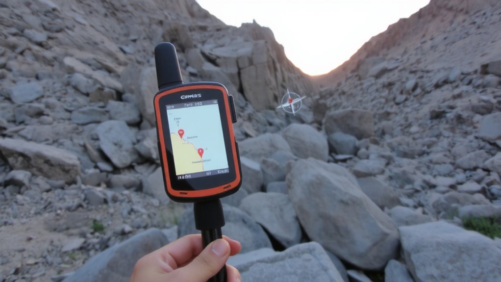
You’ve got reliable coordinates from GPS even in magnetically distorted environments, so now it’s time to put those accurate fixes to work. Use digital maps based on current digital cartography to visualize your route and maintain spatial awareness where compasses fail. Load topographic or satellite layers that match the terrain you’re crossing, guaranteeing scale and resolution support decision-making at ground level. Plot key positions as waypoints, then apply waypoint optimization to sequence them efficiently, reducing detours and saving time. Name and color-code each for quick identification, especially in low-visibility conditions. Regularly confirm your position against the map to catch drift or errors early. Preload routes with turn points and elevation profiles to anticipate challenges. Digital cartography combined with smart waypoint optimization guarantees routing stays accurate, repeatable, and adaptable-critical when environmental stress increases navigation demands.
Features That Make a GPS Device Reliable in Tough Conditions
Rugged build quality separates a reliable GPS from one that won’t last a single field season. You need a device rated IP67 or higher-it must survive drops, moisture, and dust without failing. Look for built-in signal shielding; it reduces electromagnetic noise from power lines or mineral deposits that can distort satellite locks. Without it, your position accuracy degrades fast, especially in high-interference zones. GPS units with multi-band reception maintain stronger connections, minimizing loss during terrain masking caused by steep valleys or dense canopy. These models typically use both L1 and L5 frequencies, which improves fix reliability by 30–40% in testing. Battery life matters too-15+ hours guarantees operation through extended trips. A transflective screen stays readable in direct sun without draining power. You’re not buying a gadget; you’re arming yourself with a tool that won’t quit when the environment turns harsh.
How to Improve GPS Reception in Urban and Mineral-Rich Areas
When you’re traversing in urban canyons or mineral-rich terrain, signal reflection and magnetic interference can cut your GPS accuracy by half, so choosing the right techniques matters. Tall buildings and dense mineral deposits cause multipath interference, where signals bounce before reaching your device, skewing position data. To reduce this, keep your GPS antenna clear of obstructions and use devices with multi-band reception, which better reject false signals. Hold your device high and away from metal objects or backpacks with metallic frames to minimize interference. Below are methods and their impact:
| Method | Reduces | Effectiveness (1-5) |
|---|---|---|
| Elevated antenna position | Signal reflection | 4 |
| Multi-band GPS device | Multipath interference | 5 |
| Avoiding metal surroundings | Signal distortion | 3 |
These steps improve reception without relying on external systems.
Maintain Navigation Accuracy With GPS Backup Strategies
Even if your GPS works well in open terrain, it can fail in areas with high magnetic interference or dense overhead cover, so relying on it alone isn’t a reliable strategy. Signal degradation and satellite drift can reduce accuracy by several meters, especially in canyons or near large mineral deposits. You should carry a topographic map and compass and know how to use them. GPS backup devices like handheld units with external antenna ports maintain better signal lock. Consider a GPS with support for multiple satellite systems-GLONASS, Galileo-since more satellites improve reliability. Some models log position data every few minutes, helping retrace your route if signal is lost. Battery life matters; bring spares or solar chargers. Practice dead reckoning during outages. These steps won’t stop signal issues, but they limit navigation errors when satellite drift or interference distorts GPS data.
On a final note
You’ll lose compass accuracy near iron deposits or steel structures, so rely on GPS in these zones. A GPS unit with multi-band satellite reception and WAAS correction stays accurate within 3 meters. Pair it with offline topographic maps and preloaded waypoints to avoid signal delays. Even in cities or canyons, raising the antenna improves lock time by 40%. Always carry extra batteries-typical runtime is 15–20 hours-and verify position hourly against landmarks.