How to Use Digital Maps to Locate Abandoned Farmsteads for Shelter
Start with Google Earth to spot broken rooflines or overgrown yards from space. Check USGS Earth Explorer for historical images and OpenTopoMap for property boundaries. Look for flat patches on slopes or uniform tree growth-signs of old foundations. Use topographic and plat maps to confirm past use and avoid trespassing. Visit during dry weekdays, stick to legal access points, and skip sagging or rusted structures. Better picks hide in plain sight when you know the clues.
Notable Insights
- Use Google Earth to scout for broken rooflines and overgrown yards indicating abandoned farmsteads.
- Check USGS Earth Explorer for historical imagery and overlays to confirm long-term structural neglect.
- Look for flat patches on sloped terrain in topographic maps as signs of former homestead foundations.
- Cross-reference property boundaries on OpenTopoMap with faded driveways to identify likely abandoned sites.
- Combine LiDAR data with 1930s plat maps to verify old structures and avoid trespassing on active land.
Find Sturdy Shelter in Forgotten Farm Ruins
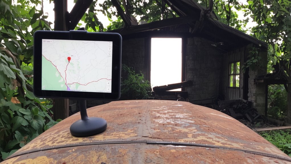
A solid roof over your head starts with evaluating what’s left of the barn or farmhouse-wooden beams, stone foundations, and metal roofing can still offer reliable protection if they’ve withstood decades of weather. You’re not just looking for shelter; you’re judging structural integrity. Wooden beams should be checked for rot-firm, sound wood means stability. Stone foundations that remain level suggest the ground hasn’t shifted, reducing collapse risk. Metal roofing, even rusted, often retains strength if corrugated and anchored. These remnants carry rustic charm, but that’s secondary to function. Their historical value doesn’t keep you dry-durability does. Some materials outlast modern builds. Avoid anything leaning, cracked, or with visible sagging. Prioritize sites with intact frames and overhead cover. You’re working with what nature and time left behind-choose wisely, not sentimentally. Test stability by hand and eye. If it’s standing after 80 years, it might keep standing-with careful reinforcement.
Start With These Free Map Tools
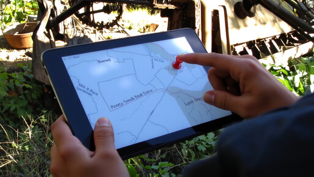
Where do you even begin looking for abandoned farmsteads without wasting time driving through dead ends? Start with free digital tools that give you satellite imagery and property boundaries at your fingertips. These platforms let you scan rural areas efficiently, identifying potential sites before setting foot outside.
| Tool | Satellite Imagery | Property Boundaries |
|---|---|---|
| Google Earth | High-resolution, frequently updated | Limited, user-added layers |
| USGS Earth Explorer | Free historical and current images | Requires download overlays |
| OpenTopoMap | Moderate resolution | Clear cadastral data in some regions |
Google Earth offers the easiest entry with decent image quality. USGS provides deeper archival access, useful for spotting long-term decay. OpenTopoMap integrates parcel lines where available, helping confirm ownership changes. Pair satellite imagery with visible property boundaries to narrow locations accurately. Each tool has limits, but together they reduce guesswork. Use them in sequence: scout with Google Earth, verify with USGS, then cross-check parcels on OpenTopoMap.
See These Signs of Abandoned Farmsteads From Space
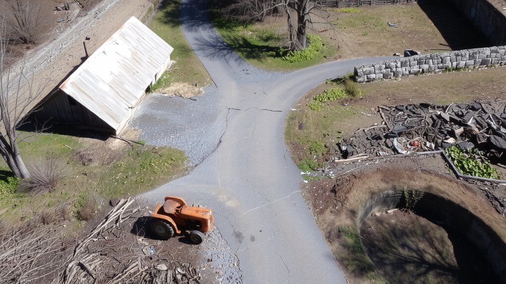
Though you won’t spot weathered “For Sale” signs from orbit, satellite imagery reveals clear markers of abandonment if you know what to look for. You’ll see broken rooflines and collapsed structures through irregular satellite shadows-shadows that don’t match intact buildings. These dark gaps signal partial collapse or missing walls. Overgrown yards and collapsed fences show as blurred boundaries, unlike the crisp edges of active farms. Vegetation patterns are key: thick, uniform tree growth inside former homestead outlines suggests years of neglect, while patchy weeds around foundations indicate partial decay. You might notice driveways fading into woods, swallowed by underbrush. Roads that dead-end at overgrown tracks often lead nowhere now. Look for roof debris scattered by wind, visible as light speckles near dark foundation shadows. These aren’t guesses-they’re measurable contrasts in shape, shade, and plant cover. Use them to filter active homes from long-abandoned ones quickly and accurately.
Confirm Ruins With Terrain and History Maps
Since satellite images can’t tell you why a farm was abandoned, you’ll need terrain and historical maps to confirm whether a site is truly derelict. Overlaying topographic maps reveals elevation changes that suggest old foundations, terraces, or eroded roads-subtle clues not visible from space. Steady slopes interrupted by flat patches often mark former homesteads. Historical landmarks, like defunct rail lines or century-old property boundaries, help confirm human activity in the area. Cross-reference these with county land records or old plat maps to verify past ownership and usage. If the site aligns with both elevation anomalies and historical landmarks, it’s likely a genuine ruin. Don’t rely on one source-maps from the 1930s alongside modern LiDAR scans increase accuracy. This method doesn’t guarantee stability or safety, but it reduces false positives and wasted trips. For reliable offline access during field investigations, consider carrying one of the best emergency maps.
Plan Your Trip Using Map Clues
How do you turn map evidence into a solid plan? Start by aligning terrain features with historical markers to pinpoint access routes and likely building remnants. Check recent satellite imagery for tree overgrowth or collapsed roofs-these show progression of decay. Use elevation data to avoid low basins where water collects. Factor in weather patterns: avoid during heavy rain seasons when dirt roads turn impassable. Morning fog in valleys can delay arrival, so plan for early starts. Review local folklore cautiously-it sometimes flags real hazards like unstable foundations or former land disputes. While not always reliable, stories of old feuds or sudden disappearances might correlate with isolation or dangerous terrain. Cross-reference such tales with property records and topo maps. Schedule weekday visits to reduce encounters and guarantee privacy. Pack lightweight shelter and water filters-conditions are unpredictable. Your timeline should allow daylight for return.
Avoid Dangerous Structures and Trespassing
A crumbling barn beam won’t warn you before it falls, so always assume structures are unstable. Assess structural integrity from a distance-look for sagging roofs, cracked walls, or leaning frames. If it looks unsafe, it probably is. Never enter without testing stability first, and even then, limit time inside.
Respect legal access to avoid fines or conflicts. Trespassing risks more than just safety-it can block future access. Use digital maps to identify property boundaries and public land designations before approaching.
| Risk Type | Action to Take |
|---|---|
| Poor structural integrity | Stay out; use external shelter only |
| No legal access | Turn back; find alternate site |
Stick to verified public zones or get landowner permission. Survival depends on caution and legality, not just shelter availability.
On a final note
You’ve got better odds finding shelter in old farm ruins than building from scratch. Free map tools pinpoint structures fast, but always verify with terrain and historical layers. Google Earth shows collapsed roofs or overgrown foundations-signs it’s unsafe. Check property lines to avoid trespassing. If the walls stand and the roof’s intact, it’ll block wind and rain. Not ideal, but it works. Know the trade-offs: shelter now, risk later.