How to Use Digital Mapping to Find Potential Fishing or Hunting Zones
Use digital topo maps with GPS-tagged layers to track deer movement through funnel zones like ridge lines and water gaps. Overlay satellite imagery to spot underwater structures and vegetation in fishing zones. Pick mapping apps that work offline and support bathymetry and vegetation layers. Combine weather history and elevation data to predict animal activity. Verify legal access using permission overlays-many public edges aren’t navigable. The right tool cuts guesswork, but only if you test it on the ground. You’ll find the best spots stay hidden until you know where to look.
Notable Insights
- Use digital tools that overlay terrain, vegetation, and water features with accurate topographic and bathymetric data.
- Choose mapping apps with cross-device compatibility, offline functionality, and fast-loading topo and satellite layers.
- Identify funnel zones by analyzing converging ridge lines, water gaps, and contour spacing on topographic maps.
- Overlay satellite imagery to detect submerged vegetation, thermal bands, and seasonal habitat changes.
- Integrate weather patterns and legal access data to predict animal movement and verify lawful entry points.
Map Deer and Fish Habitats With Digital Tools
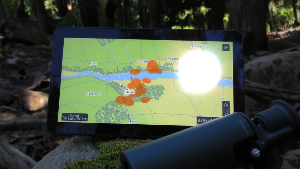
Mapping deer and fish habitats starts with choosing the right digital tool-one that overlays terrain, vegetation, and water features with precision. You need clear topographic data to track deer patterns across seasons, especially migration routes and feeding areas near cover edges. Elevation shifts, tree canopy density, and proximity to water sources help pinpoint where deer bed down or move at dawn. For fish behavior, look for underwater structures like drop-offs, submerged logs, or weed beds-these appear clearly on bathymetric layers. Tools that update in real time with seasonal temperature and flow rates improve accuracy. You’ll want GPS tagging to mark hotspots, but avoid over-reliance on auto-suggestions; they don’t always reflect localized movement. Accuracy degrades on lower-resolution maps, so verify with ground truthing. Balancing detail with usability guarantees you spend less time guessing and more time in the right zones.
Choose the Right Digital Mapping Apps for Hunting and Fishing
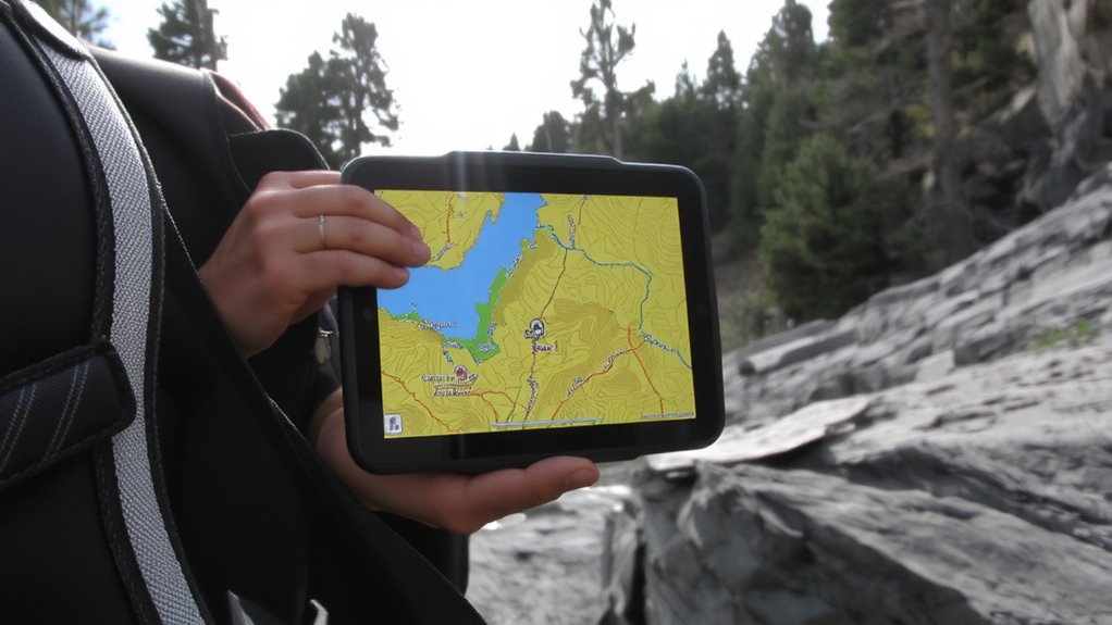
Where should you be looking when the cover’s thick and the water’s low? Right at your phone or tablet, but only if you’ve got the right app. Not all digital mapping apps handle hunting and fishing demands the same. Look for strong app compatibility across devices-iOS, Android, GPS units-so you’re not locked out in the field. A clean, intuitive user interface matters just as much; you don’t need clutter when tracking waypoints or contour lines. Test how quickly the app loads topo layers and overlays vegetation or water depth. Some perform better offline, which is critical when you’re miles from service. Others drain battery fast or crash under load. Choose tools that balance functionality with reliability, not flashy features. Real success comes from consistent access, not gimmicks.
Use Digital Topo Maps to Find Natural Funnel Zones
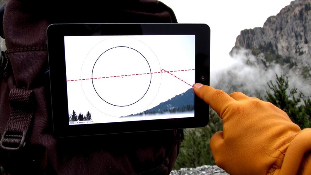
You already know your app needs to work when cell service drops and the battery’s at 20%, but what really matters is what it shows you once it’s running. Digital topo maps reveal terrain features that funnel game or fish along predictable paths. Ridge lines act as natural barriers, pushing animals toward lower routes. Look where these lines pinch close-those narrow corridors are high-traffic zones. Water gaps, where streams cut through ridges, create passage points for wildlife moving between drainages. These spots compress movement, making them ideal stand or ambush locations. Topo lines spaced tightly show steep terrain; wide spacing indicates flatter travel paths. Overlay elevation contours to spot where ridge lines converge near water gaps-it’s often where movement corridors form. Not all apps render elevation gradients clearly, so test a few offline. The best ones offer crisp contour detail without draining your battery faster. Accuracy in these features beats flashy tools when you’re on the ground.
Layer Satellite Imagery to Reveal Hidden Fishing Spots
With satellite imagery layered over your topo map, you can spot features that aren’t visible on elevation contours alone-like submerged vegetation, isolated eddies, or shaded creek inlets-because these details often mark where fish gather. You’ll want clear shots, so check cloud cover before downloading images; heavy cover obscures key details and reduces accuracy. Look for dark patches in shallow water-those often indicate underwater plants that shelter bass or panfish. Thermal bands can help approximate water temperature, which affects fish activity; trout, for example, prefer zones below 68°F. Some platforms update imagery weekly, letting you track seasonal changes. Free tools like USGS Earth Explorer work, but paid services like Sentinel Hub offer higher resolution and better filtering. The trade-off is cost versus precision. Combine water temperature trends with structure data to narrow likely holding areas. It’s not guesswork-it’s targeting.
Use Weather History to Predict Animal Movement
When you’re trying to predict where animals will be, past weather patterns give you a proven edge because temperature swings, precipitation, and wind shifts directly influence feeding and migration behaviors. By reviewing historical data, you can align your outings with known animal responses to specific conditions. Weather patterns don’t just affect comfort-they drive survival actions. Migration cycles often sync with seasonal shifts, so tracking past cold fronts or rain events helps pinpoint when animals move through zones.
| Month | Avg Temp (°F) | Animal Movement Notes |
|---|---|---|
| Mar | 45 | Early migration cycles begin |
| May | 62 | Peak feeding after rain |
| Aug | 80 | Nocturnal shift due to heat |
| Oct | 55 | Southward movement starts |
| Dec | 38 | Sheltered patterns dominate |
Use this data with mapping tools to anticipate behavior, not guess.
Tag and Save Secret Hunting and Fishing Spots
Storing weather history helps you anticipate animal behavior, but knowing where to act on that knowledge makes all the difference. Tag and save your best hunting and fishing spots using digital maps to guarantee you can return with precision. Spot tracking lets you log coordinates, terrain features, and past success rates, so you’re not relying on memory. Use apps that allow offline access, so connectivity won’t hinder your return trip. Prioritize location privacy by choosing tools that encrypt your data and avoid cloud syncing without consent. Some platforms share anonymized user data-verify opt-out settings. You don’t need flashy features; reliable GPS accuracy and customizable markers matter most. Avoid overloading maps with unnecessary pins. Keep your prime zones hidden from others, even if the app encourages sharing. A clean, private system improves consistency in returns. Accuracy and discretion directly impact your success rate in the field.
Find Legal Access Routes Without Trespassing
On public lands and easements, knowing the exact path you can take keeps you out of legal trouble and off private property. Use digital maps layered with access permissions to identify approved roads, trails, and entry points. Not all public land borders mean you have legal entry-check local regulations and easement boundaries before heading out. Many mapping tools display route legality with color-coded lines or official designations, so you don’t cross into restricted zones. Public road rights-of-way don’t guarantee access, especially if gated or posted. Verify current access permissions yearly, as land status changes. Always cross-reference satellite imagery, land ownership layers, and government sources. Relying on outdated maps risks trespassing. Prioritize routes marked for public use and avoid assumptions. Confirming route legality protects your license, reputation, and the privilege to hunt or fish where it’s allowed.
On a final note
You save time and boost success by using digital maps to pinpoint zones where deer and fish concentrate. Topo maps reveal funnels and drop-offs; satellite layers expose unseen cover or water structure. Weather history helps predict movement patterns. Apps like onX and Google Earth let you tag spots and verify legal access. Tools aren’t perfect-data lags happen-but combining features gives you an edge. It’s practical: less guessing, more finding.