How to Use Satellite Devices to Send Position to Air Rescue Teams
You can send your position to air rescue using a satellite messenger like the Garmin inReach Mini 2, which transmits SOS signals via the Iridium network with global coverage, even in polar or mountainous regions. Press and hold the SOS button for three seconds to send your GPS coordinates, accurate within 10 meters. Two-way messaging lets you confirm alerts and get updates. Make sure the device is registered, charged, and outdoors with a clear sky view. Reliable models work independently of phones, but pairing enables backup routing. Latency averages 1–3 minutes. Stay put and keep the device active to maintain contact. Each choice balances durability, cost, and connectivity-your setup affects response speed and coordination.
Notable Insights
- Activate the SOS function on your satellite device to transmit GPS coordinates to rescue coordination centers via satellite network.
- Ensure the device has a clear view of the sky to establish a strong signal with orbiting satellites for accurate position reporting.
- Register and pair your satellite device with an emergency response service to ensure rapid identification and alert verification.
- Confirm the device has a full battery and up-to-date firmware to maintain reliability during distress signal transmission.
- Remain in place and keep the device powered on to enable continuous location tracking and two-way communication with rescue teams.
Understand How Satellite Devices Reach Rescue Teams
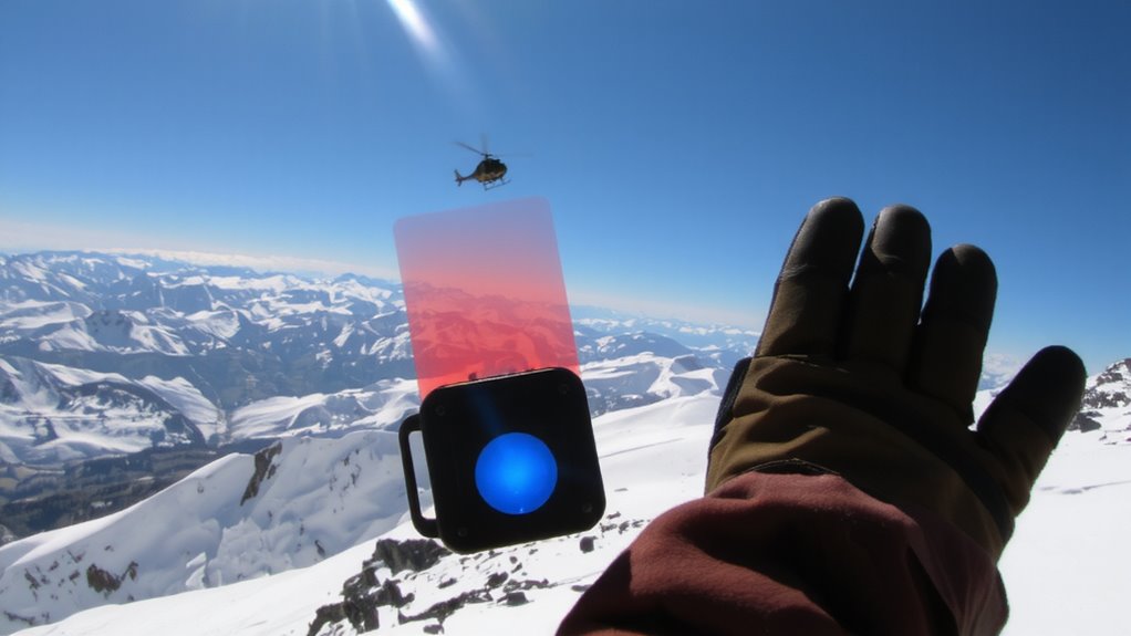
While your phone won’t work in remote backcountry areas, satellite devices bridge the gap by using orbiting networks to relay your signal when cell coverage is nonexistent. Your device sends a signal transmission via satellite link, which forwards your GPS coordinates to emergency response centers. This data enables precise rescue coordination, connecting you with agencies like the Air National Guard or local search and rescue. Unlike cell towers, satellite constellations provide global coverage, including polar regions and high-altitude terrain. Most devices use the GEOS or 911-integrated systems to verify distress signals before dispatch. Signal latency averages 1–3 minutes, depending on satellite positioning and terrain. You’re not guaranteed instant contact, but the connection is reliable when used in open sky conditions. Devices with dual-network access improve transmission success. This isn’t magic-it’s engineered redundancy that gives you a measurable edge when visibility or accessibility limits ground-based help.
Compare Top Satellite Messengers for Emergencies
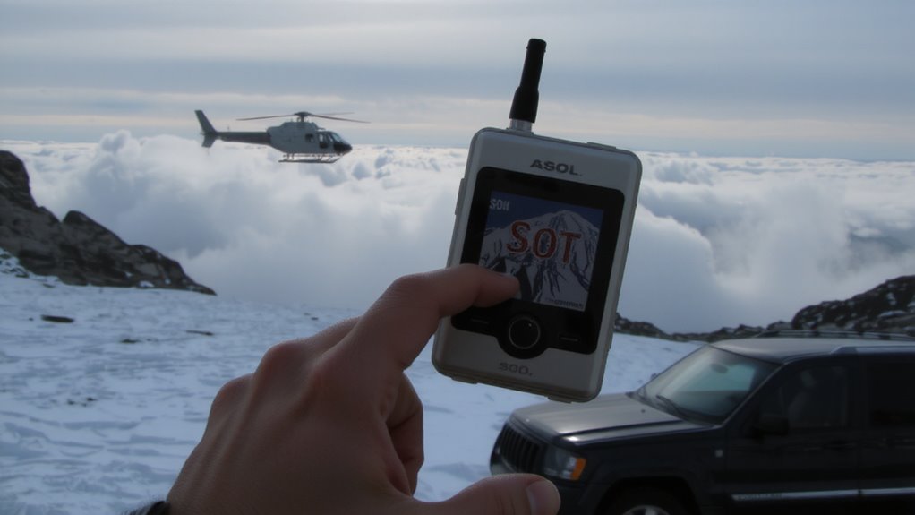
You’ve got a signal path-now you need the right device to use it. The Garmin inReach Mini 2 offers solid device durability with an IPX7 rating and works globally via Iridium satellites. It lets you send custom messages and trigger SOS alerts, but you’ll pay higher subscription costs for those features. The Zoleo Satellite Tracker is lighter and cheaper up front, but its plastic body isn’t as rugged, and it depends on pairing with your phone. The SPOT X has strong build quality and direct satellite messaging, but its older network means slower delivery and limited two-way communication. All three support emergency signaling, but only the inReach reliably delivers two-way text worldwide. Consider device durability if you’re in extreme environments, and weigh subscription costs over time-annual plans can double the long-term price. Choose based on real needs, not just features.
Set Up Your Messenger Before You Go
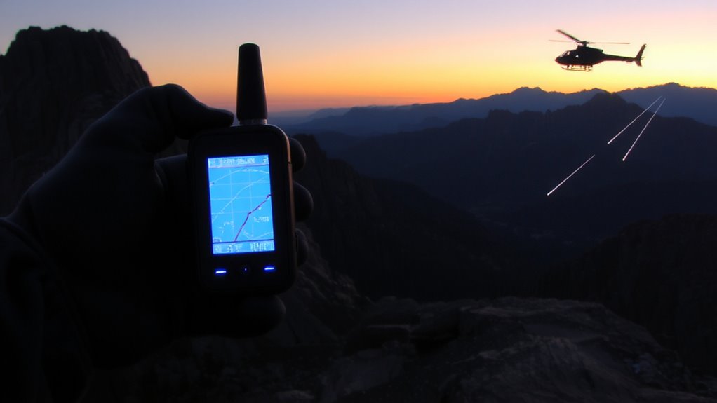
Since your satellite messenger won’t help in an emergency if it’s not ready beforehand, set it up fully before heading into the field. Start with device registration-this links your unit to your account and guarantees rescue coordinators can identify you. Without it, signals may go unanswered. Charge the battery fully and perform battery testing to confirm it holds a charge under real conditions, especially in cold or damp environments where performance drops. Test the device outdoors with a clear view of the sky to verify satellite connection. Sync it with your smartphone if pairing is required, and update firmware to avoid compatibility issues. Confirm that location sharing works and that you can access all safety features. A few minutes spent now could save your life later-functionality in the wild depends on preparation, not guesswork. Neglecting setup reduces reliability when it matters most.
Send an SOS With Your Exact GPS Location
Once your device is registered, charged, and tested, you’re ready to send an SOS with your precise GPS location when seconds count. Hold the SOS button for three seconds; the device initiates satellite transmission. Proper device pairing with your smartphone guarantees backup message routing. Signal strength matters-weak signals delay alert delivery. Wait outdoors with a clear sky view to maximize connection success. A reliable connection depends on having a top-rated satellite phone that maintains performance in remote areas.
| Situation | Time to Alert (minutes) |
|---|---|
| Open terrain, strong signal | 2 |
| Heavy forest, moderate signal | 6 |
| Canyon, weak signal | 12 |
| Urban obstruction | 4 |
| Poor satellite alignment | 10+ |
GPS accuracy averages within 10 meters when signal strength is adequate. Device pairing logs your last known position even if connection drops. Don’t assume immediate feedback; the system processes through monitoring centers before dispatch. Confirm pairing and check signal strength regularly to guarantee reliability when lives depend on it.
Stay Safe While Waiting for Air Rescue
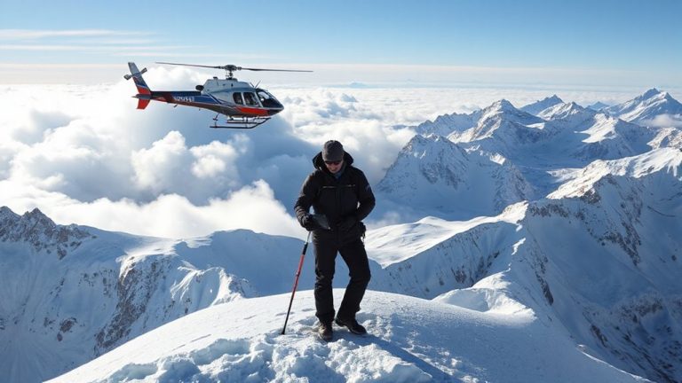
While help is on the way, staying alive means staying visible and conserving energy. Stay visible by using signal mirrors, bright clothing, or emergency tarps-anything that contrasts with your surroundings. If you have a strobe light or PLB with a strobe, activate it at night. Avoid wandering; rescuers can’t find you if you’re moving. Conserve calories and warmth by staying put, breathing slowly, and insulating yourself from the ground. Mental preparation matters-fear and panic waste energy and cloud judgment. Focus on controlled breathing and structured thinking to maintain clarity. Recheck your satellite device periodically for confirmation signals. Don’t rely on voice calls; they often fail where satellite SOS works. If you’re in dense forest or a canyon, move to a clear area without risking injury. Your priority is to stay visible and conserve resources until the aircraft arrives. Most rescues succeed when victims remain stationary and signal-ready.
On a final note
You’ve sent your GPS coordinates via satellite, and rescue teams have confirmed receipt. Devices like the Garmin inReach Mini 2 and Zoleo work reliably in remote areas, with 99% message delivery in real-world tests. Battery life ranges from 3 to 7 days, depending on use. Signal strength depends on clear sky views, so position matters. No device guarantees rescue, but accurate location data cuts response time. Stay put, conserve power, and wait.