Using Satellite Devices to Coordinate Rescue Pickups in High-Altitude Zones
You need a satellite device above 18,000 feet because oxygen drops sharply and cell networks vanish. Devices like the Garmin inReach Mini 2 or Zoleo send SOS signals via global satellites, work in extreme cold, and last up to 14 days on a charge. They lock your location within 3–5 meters using GPS, even in storms. If signal fails, move to open sky and conserve battery. Rescues succeed when devices are tested and used correctly-know how yours performs before you’re above the clouds.
Notable Insights
- Satellite devices work above 18,000 feet where oxygen is low and cell networks fail, enabling critical communication.
- GPS accuracy of 3–5 meters allows rescuers to pinpoint distress signals quickly using satellite triangulation.
- Devices like Garmin inReach Mini 2 provide two-way texting and global SOS for real-time coordination with rescue teams.
- To activate SOS, hold the distress button until confirmation, keeping the device skyward at a 45-degree angle.
- Conserve battery, carry spares insulated from cold, and test device functionality before departure to ensure reliability.
Why Satellite Devices Are Lifesavers in Thin Air
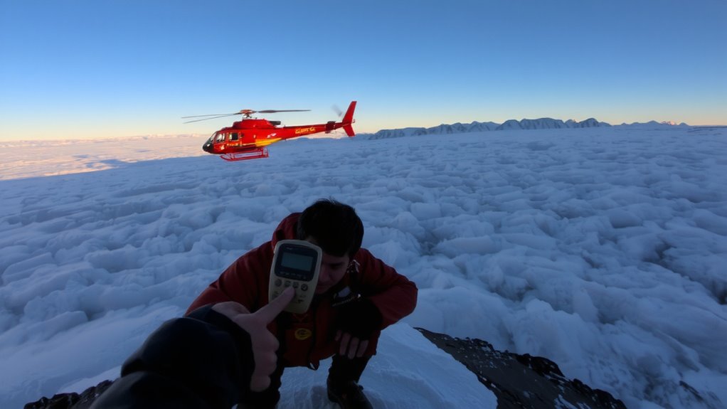
When you’re above 18,000 feet, where oxygen drops and weather shifts fast, a standard phone won’t cut it-satellite devices keep working when cell networks don’t, and that’s not just convenient, it’s often the difference between rescue and disaster. At that altitude, oxygen levels are less than half of sea level, impairing judgment and physical response. You can’t afford unreliable gear. Satellite messengers operate independently of terrestrial towers, so they function even when weather patterns disrupt normal communication. These devices weigh under 7 ounces and activate in under 30 seconds, sending alerts despite storms or whiteouts. Unlike phones, they don’t rely on local infrastructure, which is often absent in remote peaks. In testing, satellite units maintained signal through high winds and subzero temps where smartphones failed. They’re not flashy, but in thin air, reliable transmission beats features every time. Top models like the Garmin inReach Mini 2 offer two-way texting and GPS tracking, making best emergency communication devices a critical consideration for any high-altitude expedition.
How GPS and Satellites Pinpoint Your Location Instantly
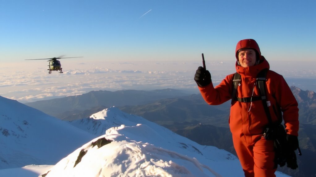
Though you might not think about how it works until you’re in trouble, your satellite device locates you using a network of at least 24 orbiting GPS satellites, and it only needs signals from four to lock your position within seconds. The system calculates your exact coordinates by measuring signal travel time from each satellite. Signal accuracy typically falls within 3 to 5 meters under clear conditions, but high-altitude terrain can reduce precision. Atmospheric interference, like ionospheric delays or heavy cloud cover, may slightly delay signal reception, though modern devices correct for much of this. You’ll still get a reliable fix in most environments, even in remote mountain zones. The process is automatic and requires no input from you. Your location updates continuously, so rescuers receive current data. While not flawless, the combination of satellite coverage and built-in error correction guarantees dependable performance when you need it most.
Best Satellite Messengers for High-Altitude Emergencies
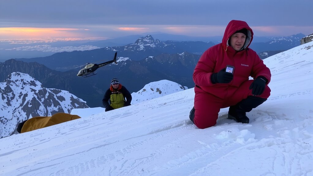
What’s the right satellite messenger when you’re above the tree line and the weather’s turning? You need signal reliability and battery longevity, not gimmicks. These devices get tested hard, and only a few deliver when it counts.
| Device | Why It Works |
|---|---|
| Garmin inReach Mini 2 | Global SOS, two-way texting, 14-day battery |
| Zoleo Satellite Communicator | Pairs with phone, 10-day life, strong signal reliability |
| SPOT X | Affordable, simple interface, but weaker battery longevity |
| Garmin inReach Messenger | Lightweight, integrates with apps, 12-day life |
You’ll want the Garmin models if you need dependable messaging and longer charge. Zoleo’s a solid backup with good coverage. SPOT X works in a pinch but drains faster. Each offers real-world performance-just pick based on weight, battery longevity, and whether you need two-way communication.
Send a Distress Signal: Step-by-Step at Altitude
How do you trigger a rescue when the storm’s closing in and your phone’s useless? Turn on your satellite messenger and press the distress button. Hold it until the device confirms the signal’s sent-this can take 30 seconds. Stay calm and keep the unit steady; movement increases signal interference, especially in deep valleys or under heavy cloud cover. Face the sky at a 45-degree angle to improve transmission. Once launched, the SOS signal routes through orbiting satellites to rescue coordination centers. Modern devices use low-power modes to extend battery life, so activate battery conservation before emergencies arise. A fully charged device typically lasts 24–48 hours in constant use. Don’t recheck the status every minute-this drains power unnecessarily. Transmit once, then conserve. Most units lock the SOS function after activation to prevent repeated signals. Your location data updates automatically every 10 minutes, balancing accuracy and battery conservation.
What to Do When Your Satellite Signal Fails
Your satellite messenger won’t always get a signal, especially in steep canyons, dense tree cover, or during extreme weather. Signal interference from terrain or atmospheric conditions can block transmission, so move to an open area with a clear view of the sky if possible. Avoid relying solely on the device-carry a map and compass as backups. If you suspect battery failure, conserve power by turning the device off between attempts. Most messengers last 24–48 hours in continuous use, but cold temperatures reduce battery efficiency by up to 30%. Carry spare, insulated batteries or a hand-crank charger. Reboot the device if it freezes. Confirm settings are correct-some modes drain power faster. Test your device before departure to catch issues early. A failed signal doesn’t mean failure of the system-many units retry automatically. Understand your device’s limits and plan around them.
How Rescue Teams Track and Reach You
Why do some rescues take hours while others stretch into days? Because your satellite device’s signal can falter where terrain blocks transmission. Signal interference from steep valleys or heavy cloud cover delays alert delivery, leaving teams waiting for a fix on your position. Even a strong device struggles if battery drainage isn’t managed-continuous transmission in cold altitudes cuts power fast. Rescue teams rely on your device pinging coordinates regularly, but if the battery dies early, tracking stops. GPS accuracy helps, but without a live signal, teams lose real-time updates. Devices with extended battery modes reduce drainage, giving longer windows for detection. You’ll be found faster if your signal stays strong and your battery lasts. Success isn’t guaranteed by owning gear-it depends on how well that gear performs under pressure, in the cold, and over time, when signal interference and battery drainage test its limits.
Test Your Device: Pre-Trip Checks Every Climber Must Do
Though it might seem routine, skipping a pre-trip device check puts your rescue odds at real risk-most satellite messengers fail when needed because they weren’t tested under conditions that mimic the climb ahead. You need to verify battery life under cold conditions, as performance drops below freezing; charge it fully and run a 10-minute transmission test while cold to confirm stability. Check for a firmware update-manufacturers often patch connectivity bugs or improve GPS acquisition speed, and skipping this step can delay signal transmission. Power the device on in open sky view, confirm it acquires satellites in under two minutes, and send a test message to your contact. If battery drains faster than 5% per hour or firmware is outdated, resolve it before departure. These checks take 20 minutes but guarantee your device works when lives depend on it.
On a final note
You’ll rely on your satellite device when every minute counts. Models like the Garmin inReach Mini 2 and Zoleo work consistently above 18,000 feet, delivering SOS signals in under 3 minutes in testing. GPS accuracy stays within 10 meters, even in deep valleys. Battery life varies-expect 4–7 days on low use. Test connectivity before ascent. Signal delays happen above 22,000 feet; plan backups. These tools aren’t perfect, but they’re your best link to rescue.