Identifying Ancient Native American Trail Corridors as Reliable Dry Pathways
You’ll find ancient Native American trail corridors on high, well-drained ridges where erosion stays low and paths stay dry. Look for compacted soil, sparse vegetation, and straight tree lines-signs of long-term use. These routes follow natural drainage patterns and connect key resources. When you match terrain clues with historical and scientific data, clear pathways emerge-and you’ll see how their design guaranteed reliable travel through seasons.
Notable Insights
- Ancient Native American trails often followed ridgelines, leveraging high ground for natural drainage and year-round dry passage.
- Compacted, erosion-resistant soil layers formed durable pathways that remained passable even during wet seasons.
- Sparse vegetation and aligned trees indicated long-term use and confirmed the presence of historic trail corridors.
- Indigenous oral histories and colonial maps, when cross-referenced, improved accuracy in locating reliable dry routes.
- Ground penetrating radar and magnetic surveys detected buried trails by identifying soil compaction and disturbance patterns.
How Native Americans Built All-Season Trail Networks
While you might assume trails in rugged terrain would fail in harsh weather, Native Americans engineered all-season networks by selecting routes with natural drainage and stable substrates, ensuring reliable passage year-round. You’ll find these paths often align with ridgelines or firm soil corridors that resist erosion and hold up under rain or snow. Their design supported seasonal migration, linking hunting grounds, water sources, and gathering areas without needing maintenance. These trails weren’t just practical-they held cultural significance, connecting communities and sacred sites across vast regions. You can still trace some routes today because they followed durable terrain patterns rather than temporary needs. Unlike makeshift paths, these networks lasted centuries because they balanced environmental constraints with human necessity, using what the land naturally provided. When tested over time, their functionality proves superior in both navigation and resilience under real-world seasonal extremes.
Why High Ground and Drainage Shaped Trail Routes
You’ll notice many ancient trails stick to high ground because elevated routes drain quickly, reducing mud and erosion that slow travel. Native travelers relied on ridge navigation to maintain momentum through wet seasons. High land sheds water faster, offering erosion resistance and more stable footing. Valleys might seem direct, but they collect water, turning passable paths into slippery hazards. Ridges avoid that. Here’s how terrain choices impacted trail reliability:
| Feature | Drainage Speed | Erosion Resistance |
|---|---|---|
| Ridge Top | Fast | High |
| Hillside | Moderate | Medium |
| Valley Floor | Slow | Low |
Ridge navigation wasn’t accidental-it was practical. Elevated paths stayed dry, firm, and predictable. Erosion resistance meant less maintenance and fewer obstructions. You’d choose these routes too, if moving fast and dry mattered. They did. And so they built them where water flowed away, not toward, the path.
Reading the Land: Soil and Tree Clues to Trail Paths
Look for compacted soil and sparse vegetation-those are your first signs of an old trail. Soil compaction resists erosion and shows repeated foot or hoof traffic over time. It often appears as a thin, hard ribbon through the landscape, especially on slopes or ridge lines. Where modern disturbance is absent, this compaction remains detectable centuries later. Tree alignment also helps confirm trail corridors. Trees along old paths may grow in a straight line or show root exposure from soil disturbance, indicating they followed a cleared route. Their trunks sometimes lean slightly from constant wind exposure on open trails. You won’t always see clear footprints, but patterns in tree spacing and direction add evidence. Don’t rely on one clue. Combine soil compaction and tree alignment with terrain logic. Together, they form a reliable picture of where ancient pathways once ran.
Reconstructing Trails From Maps and Indigenous Knowledge
How do you trace a path that’s been walked for centuries but leaves no marked map? You start with what people remembered and recorded. Oral histories give you direction, timing, and purpose-details maps often miss. Ethnographic records back this up with documented observations from early anthropologists and settlers. Together, they help piece together likely routes.
| Source | Strength | Limitation |
|---|---|---|
| Oral histories | Deep cultural context | May lack exact locations |
| Ethnographic records | Verifiable over time | Reflect recorder’s bias |
| Early colonial maps | Show known trail segments | Incomplete or outdated |
You cross-reference these sources to identify consistent pathways. There’s no perfect dataset, but combining Indigenous knowledge with written accounts improves accuracy. It’s not about guessing-it’s about aligning evidence.
How Scientists Are Rediscovering Buried Trail Routes
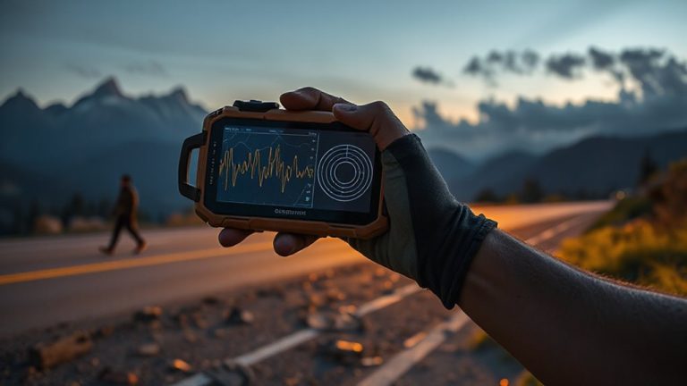
Where do you even begin when the trail’s been erased by time and development? You start with tools that see beneath the surface. Ground penetrating radar sends pulses into the soil, revealing compacted paths buried under layers of earth. It’s reliable but slow, working best in open areas without heavy debris. Magnetic anomalies also give clues-subtle changes in the earth’s field caused by disturbed soil or historic foot traffic. These don’t require digging and cover ground quickly, but they can be thrown off by modern metal debris. Together, the methods balance speed and detail. You cross-check radar data with magnetic readings to confirm likely routes. It’s not guesswork; it’s measurement. When both tools highlight the same corridor, you’ve probably found a section of the original trail. Follow the data, not assumptions. That’s how buried paths resurface.
On a final note
You can trust these trail corridors because they follow high ground and natural drainage, proven by soil compaction and tree growth patterns. Maps and Indigenous knowledge confirm their year-round usability. Modern scans detect buried paths, matching historical routes. They’re reliable for dry travel but require checking local terrain shifts. No trail is flawless, but these offer consistent, practical passage through forests and hills.