Integrating Digital Maps With Survival Water Collection Planning
You can rely on digital maps to locate water in survival situations, but only if you use offline topographic apps that show accurate drainage patterns and perennial sources. Apps like Gaia GPS or Topo Maps give you contour lines, watershed details, and stream locations without cell service. Look for V-shaped valleys and blue lines to find likely water spots, but remember-maps don’t update in real time, so dry streams or new pools may not appear. Always verify with terrain observation and carry a filter, since stagnant water is common. Hidden seeps and subsurface moisture in dry beds could save you-knowing where to look makes all the difference.
Notable Insights
- Use digital maps to quickly identify nearby rivers, lakes, and seasonal streams for efficient water source planning.
- Download offline topographic maps in advance to ensure access to terrain and drainage data without signal.
- Analyze V-shaped contour lines and watershed patterns to locate probable streambeds and natural water collection zones.
- Prioritize routes near perennial water sources and verify with satellite imagery for recent flow indicators.
- Cross-check digital map data with ground observations to account for droughts, flash floods, or outdated information.
Use Digital Maps to Find Water in Emergencies
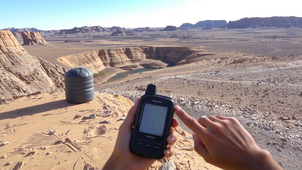
Where do you turn when you need water fast? Digital maps guide you to nearby water sources when seconds count. You can spot rivers, lakes, and seasonal streams-even when they’re dry, their beds mark reliable collection points after rain. Most topographic map apps show blue lines for perennial and dashed for seasonal streams, helping you plan ahead. But don’t assume every dot means drinkable water. Water quality varies-stagnant pools or agricultural runoff zones carry risks. You’ll still need filtration. Satellite layers help confirm recent flow, especially in arid regions where seasonal streams dominate. Some apps update hydrology data monthly, others yearly-accuracy drops when data lags. Relying solely on maps means accepting uncertainty. Pair digital tools with ground checks. You gain speed and coverage, but trade-offs in water quality verification remain. Plan accordingly.
Choose Mapping Apps With Offline Topo Features
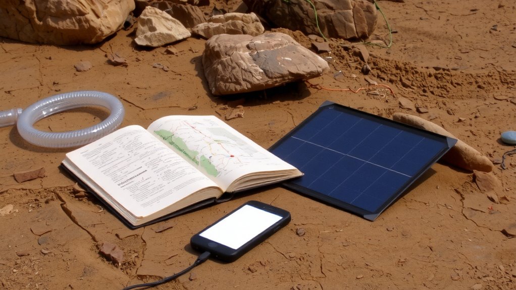
When hunting for water in remote areas, your phone’s signal might vanish-so you need a map app that works without it. Choose apps with offline topo features that download maps ahead of time. These retain terrain contours, elevation lines, and drainage patterns critical for locating water sources. App compatibility matters-ensure the app runs on your device’s OS version and works with GPS even when disconnected. Some apps drain battery fast, so test performance under load. Device durability affects reliability; rugged phones or protective cases help when operating in wet or dusty environments. Apps like Gaia GPS and Topo Maps offer offline functionality but vary in file size and detail. Smaller map files load quicker but may lack fine detail. Balance storage needs with map resolution based on your trip length. Always verify the app’s last known position accuracy before heading out. Pre-load all maps and confirm they display contour lines correctly.
Find Hidden Water With Topo Maps
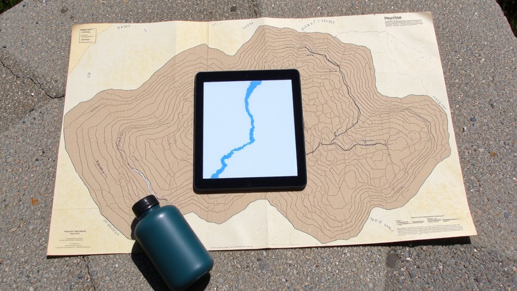
How do you spot water sources other hunters miss? You use topo maps to identify features others overlook. Start with contour analysis-look for V-shaped lines pointing uphill; those often mark stream drainages, even if dry now. Close contour spacing indicates steeper terrain, where water runs faster and collects in predictable paths. You’ll also want to study watershed boundaries, the high-ground rims that channel rainfall into specific valleys. Water inside these boundaries won’t flow out, so seasonal springs or seeps likely exist at lower elevations. On digital maps, toggle elevation layers to trace these zones clearly. Reliable water isn’t always visible-dry riverbeds within a defined watershed may still yield subsurface moisture. Contour analysis and watershed boundaries don’t guarantee a flowing stream, but they narrow search areas efficiently. You’ll save time and energy by focusing on terrain logic, not guesswork.
Plan Routes Around Reliable Water Sources
Though you might be tempted to head straight for the quickest path, sticking close to confirmed water sources cuts your risk and workload in the backcountry. Reliable access means fewer miles carrying heavy supplies and less downtime scouting for water. Use digital maps to identify perennial streams, springs, and lakes along your route-prioritize these over seasonal or uncertain sources. This approach supports effective survival navigation by reducing guesswork and keeping you on track. Always plan refill points within manageable distances, factoring in terrain and elevation changes visible on topo layers. Even clean-looking water requires treatment, so carry a lightweight filter or chemical solution for water purification. Relying on mapped sources doesn’t eliminate risk, but it improves reliability. Routes adjusted for water access typically demand minor detours, but the trade-off in safety and efficiency is measurable and often worth it.
When Digital Maps Fail to Show Available Water
You can plan all you want around mapped water sources, but digital maps don’t always reflect current conditions-especially in arid regions or after extreme weather. Map inaccuracies mean a marked spring might be dry, while a real one nearby isn’t shown. Data latency is a real issue; satellite and survey updates can lag weeks or months, leaving you relying on outdated info. Flash floods can create temporary pools that maps won’t show, and droughts can erase listed streams. GPS apps might confirm your location, but they can’t verify water flow or safety. Relying solely on digital sources is risky. Always carry a physical topographic map and know how to read terrain for drainage patterns. Cross-reference digital data with local reports or guidebooks when possible. Test your filters or purification tools before assuming any found water is usable. Being prepared means accounting for what the map misses.
On a final note
You rely on digital maps because they show terrain and water sources accurately-until they don’t. Offline topo apps like Gaia GPS or TopoRanch work when cell service fails, but you still need backup plans. These tools highlight drainages and springs, yet dry seasons change conditions fast. Always verify water in person. Relying solely on maps risks dehydration. Combine tech with local knowledge and physical indicators-damp soil, vegetation-for real-world survival.