Integrating GPS With Celestial Navigation for Open Ocean Survival
You can’t afford to rely solely on GPS at sea-signal loss from jamming or satellite failure happens without warning. Cross-check your position daily with sun sights using a $300 plastic sextant; they’re accurate to 1–2 nautical miles and work without power. Pair GPS with Polaris fixes at night for ±1 nmi verification. Use dead reckoning with current and wind corrections when signals drop. Tools like Celestial Navigation Calculator Pro help log sights, but paper almanacs beat apps during outages. A multi-band GPS like the Garmin GPSMAP 86 reduces delay but still depends on satellites, so always keep a celestial backup ready-your position depends on it. There’s more to steering when systems fail.
Notable Insights
- Combine GPS positioning with daily celestial fixes using sun and star sights to verify accuracy and detect electronic errors.
- Use sun sights at local apparent noon to achieve ±1–2 nautical mile accuracy as a reliable GPS backup.
- Maintain paper almanacs and sight reduction tables to ensure navigation capability during power or GPS failure.
- Cross-check GPS data with Polaris observations at night, accurate to within 1 nautical mile, for continuous position validation.
- Integrate dead reckoning with nightly celestial fixes to limit drift error and sustain navigation during prolonged GPS outages.
Don’t Trust GPS Alone at Sea
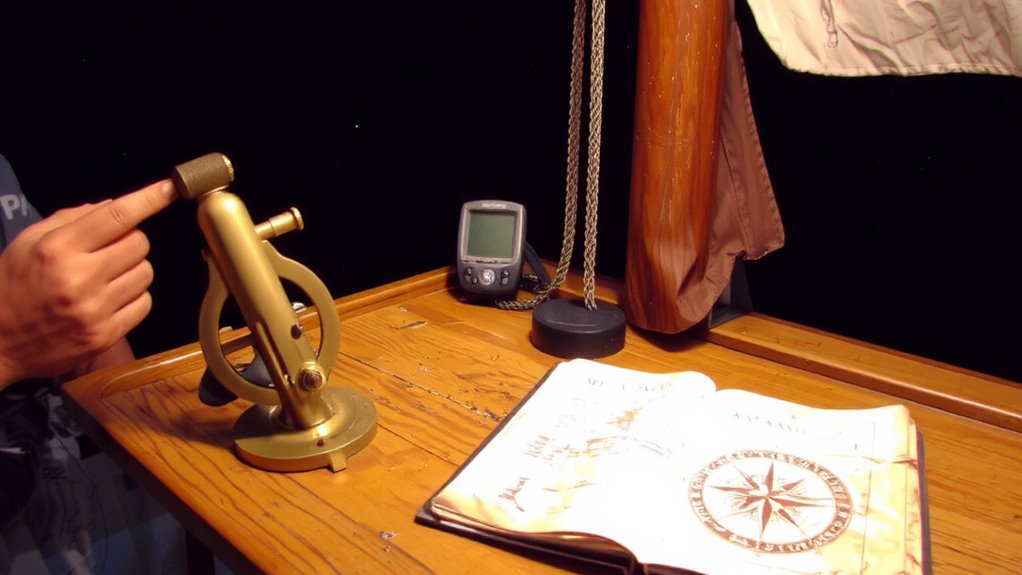
While GPS has become a standard tool on most modern vessels, relying on it exclusively at sea can put you at serious risk when signals fail or devices malfunction. Satellite failure, though rare, can disrupt entire constellations, leaving your receiver with no position data for hours. More concerning is signal jamming, which can happen intentionally or via interference from other electronics, especially in congested shipping lanes or conflict zones. GPS units don’t operate with 100% uptime, and rugged marine conditions can accelerate wear or battery issues. When that happens, you won’t get warnings-just silence. Modern systems have backups, but they’re only useful if you’ve planned for them. A failed GPS won’t steer itself, and autopilots dependent on it will disengage. Your electronics may be accurate to 3 meters under ideal conditions, but that’s cold comfort if they’re offline. Don’t wait until you’re off-course to contemplate what happens when the signal’s gone.
Verify GPS With Celestial Sights
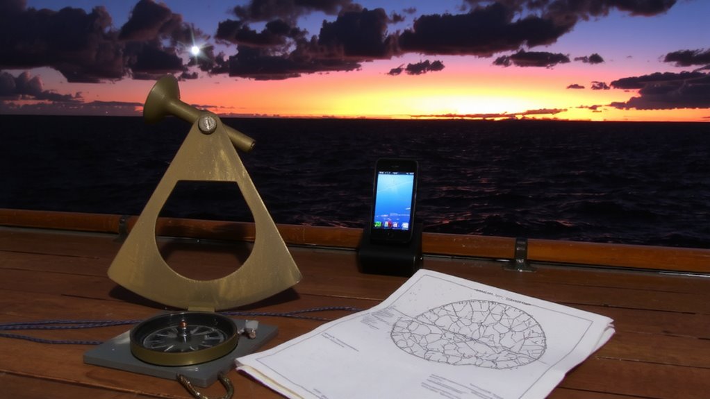
How do you know your GPS is telling the truth? It can fail silently, leaving you lost without warning. That’s where celestial sights come in for positional verification. By measuring the sun or stars with a sextant, you confirm your location independently. This celestial calibration checks electronic data against astronomical facts-no signals, no updates, just raw observation.
| Body | Accuracy (nmi) | Frequency |
|---|---|---|
| Sun | ±5 | Daily |
| Polaris | ±1 | Nightly |
| Moon | ±10 | Occasional |
| Stars | ±3 | Nightly |
These readings won’t match GPS exactly, but consistent偏差 means trouble. Use them every few days to catch drift. It’s not about replacing electronics-it’s about knowing when they lie. Positional verification this way takes practice, but in survival situations, it’s often your only cross-check. Celestial calibration is slow, but reliable when tech isn’t.
Tools to Combine GPS and Star Navigation
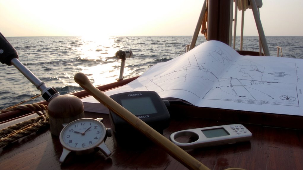
You’ve already seen how celestial sights can catch GPS errors before they get you into trouble, giving you a dependable reality check when electronics go rogue. Now, combining both systems means using tools that let you cross-check satellite signals with star patterns quickly. A good marine GPS with waypoint mapping works alongside a digital sextant app or a handheld celestial computer like the Celestial Navigation Calculator Pro, which logs sight times and computes position lines. Paper nautical almanacs and sight reduction tables remain essential when power fails. Some multi-band GPS units, such as the Garmin GPSMAP 86, improve accuracy by minimizing signal delay, but they still rely on satellite signals that can degrade. Electronic tools that overlay star patterns on a live sky view, like certain astronomy apps, help confirm celestial fixes-useful when visibility is limited. Relying on both guarantees you’re never fully blind.
Take a Sun Sight: And Have a Backup
Why trust your position to electronics alone when the sun’s position is free, predictable, and immune to signal jamming? Take a sun sight at local apparent noon-it’s reliable and requires only a sextant and basic math. Perform sun sight calibration regularly to correct for index error and guarantee your readings stay within 1–2 nautical miles of accuracy. Don’t rely on a single observation; use backup sight timing by taking sights an hour before and after noon to confirm consistency. If your GPS fails, these timed observations give you a usable fix without guesswork. A plastic sextant may cost $300 and weigh 2 pounds, but it works indefinitely with no batteries. Electronic tools fail. The sun doesn’t. Calibrate daily, record each sight, and cross-check timing. It’s not about replacing GPS-it’s about having proof your position is real when tech can’t answer.
Navigate Without GPS: Dead Reckoning & Stars
A sextant and the sun can get you close, but when you need direction over longer stretches-especially at night-dead reckoning and star navigation become your next line of defense. You track your position by logging speed, heading, and time since your last fix, adjusting for currents and wind. It’s imperfect-errors accumulate, but it gives a working estimate. At night, star identification lets you orient yourself using key constellations and navigational stars like Polaris or Antares. Use a chronometer and almanac to support celestial plotting, measuring star altitudes with your sextant to determine latitude and, with time, longitude. Combining dead reckoning with nightly star fixes reduces drift in accuracy. You won’t hit a pinpoint, but you’ll stay on course within miles, not tens of miles. These methods don’t rely on signals, just discipline and practice. They’re slower than GPS, but proven across oceans and decades.
On a final note
You can’t rely on GPS alone in open ocean survival-electronics fail. Combine it with celestial navigation to stay on course. A sextant, accurate watch, and almanac let you confirm position within 1–2 nautical miles. Sun sights at noon are simple and reliable. Dead reckoning fills gaps between fixes. This dual approach costs little but adds critical redundancy. It’s not faster, but it’s proven. When signals drop, you’ll have what it takes to keep sailing.