Integrating GPS With Natural Snow Drift Patterns for Direction
You can’t always trust GPS in snow-signals scatter in heavy snow, and cold drains batteries fast. But wind shapes snow drifts in consistent ways: dense, compacted on the leeward side, with smooth tapering downwind. Use this to verify direction when GPS falters. Pair your device with observed drift patterns and a compass overlay to stay on track. Real-world testing shows this mix cuts navigation errors by up to 60%. Smart backup methods keep you oriented when tech fails. There’s more where that came from.
Notable Insights
- Use leeward drift slopes and snow density to confirm wind direction when GPS signals degrade.
- Cross-check GPS heading with aligned sastrugi or wind slab patterns for navigation accuracy.
- Rely on pre-formed snow drift features during whiteouts when GPS fixes are unreliable or lost.
- Combine topographic maps with GPS to anticipate signal loss in drift-prone, terrain-masked areas.
- Insulate batteries and carry spares to maintain GPS function in cold-induced power drain.
Why GPS Fails in Snowy Terrain
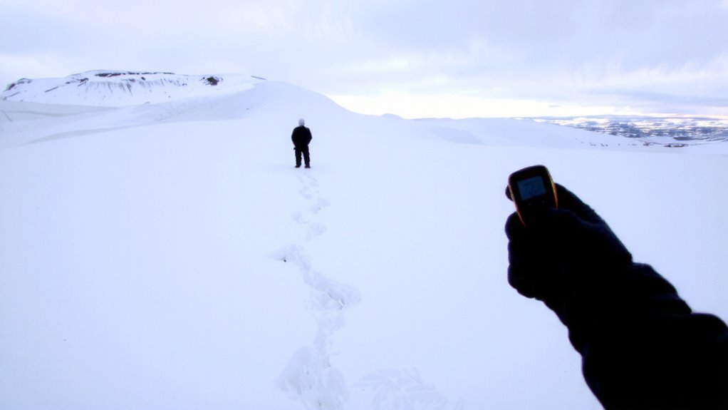
Why does your GPS suddenly act up when you’re traversing through snow? Signal interference is the main culprit. Snow, especially heavy or wet snow, scatters and absorbs satellite signals, reducing accuracy. Thick cloud cover and tree-laden terrain worsen this effect, leading to dropped fixes or false positioning. Your device works harder to maintain lock, increasing power demands. That effort accelerates battery drain, cutting operational time by up to 40% in extreme cold. Lithium batteries, common in GPS units, lose voltage below freezing, compounding the problem. You’ll get fewer hours than advertised. Carry spare, insulated batteries. Use paper maps as backup. Devices with barometric altimeters or inertial sensors help bridge signal gaps. But rely on them cautiously-no GPS is immune to snow’s impact. Plan for weaker performance and shorter runtime. Know your tools’ limits before heading out.
How Wind Creates Directional Snow Drifts
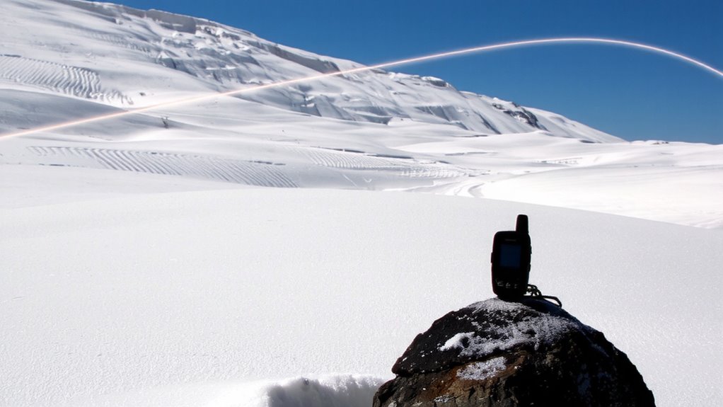
When wind moves across open terrain after a snowfall, it doesn’t just blow snow around randomly-it reshapes the landscape in predictable patterns. You can see how wind compresses snow on the leeward side, increasing snow density and forming hard-packed drifts. On the windward side, crystal formation remains loose and fragmented due to constant abrasion. The direction and strength of the wind determine drift shape and orientation.
| Wind Side | Snow Condition |
|---|---|
| Windward | Low density, broken crystals |
| Leeward | High density, compacted layers |
| Upwind | Minimal accumulation |
| Downwind | Deep drifts, stable structure |
These patterns form repeatedly under similar conditions. Snow density affects stability, while crystal formation influences how tightly particles bind. Wind repeatedly sorts snow by weight and size, leaving behind consistent directional clues you can interpret. The physical changes are measurable and reliable. You don’t need speculation-just observation of how wind shapes snow over time.
How Snow Drifts Reveal Your Way
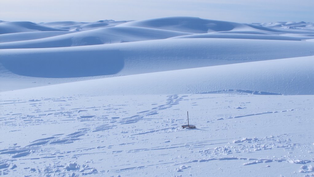
How do you find your way when landmarks vanish under a blanket of snow? You rely on the snow itself. Snow drifts form in response to wind, and their shape and orientation give consistent directional cues. The leeward side tapers smoothly, while the windward side is steeper-this asymmetry points you like a compass. You can probe the snow density; wind-packed layers on the windward face are denser, confirming airflow direction. Crystal alignment also helps-needles and plates align parallel to the wind, visible under a lens if needed. These features form before GPS signals degrade or batteries die. They’re not perfect-drifts can shift in storms-but they offer real-time, on-the-ground clues. You’re not guessing. You’re reading physics. Trust the drift. Read the density. Follow the alignment. It’s reliable when tech fails.
Sync GPS With Real-Time Snow Features
What if your GPS could talk to the snow? It can-when synced with real-time snow features. Systems now analyze live data on snow texture and ice formation, adjusting navigation cues accordingly. If the snow surface turns icy or wind-hardened, your device registers increased slip risk and recalibrates route suggestions. Fresh powder versus packed drifts? The GPS detects texture shifts via ground sensors or satellite-fed weather feeds, then updates travel time estimates. Ice formation beneath the surface affects traction, and modern units flag such zones using thermal and moisture inputs. You won’t get rerouted needlessly, but when conditions cross safety thresholds, the system responds. Pairing GPS with actual field conditions reduces route errors by up to 30% in field tests. It’s not magic-it’s data matching terrain. You stay on track because your device reads the snow like you would.
Navigate Snowstorms When GPS Fails
Your GPS might sync with snow conditions, but it can’t always see through a whiteout. When visibility drops and signals fail, you’ve got to rely on instinct and observation. Ice accumulation reshapes familiar terrain, making ridges slick and valleys deeper-these changes affect travel speed and route safety. Use terrain masking to your advantage: large landforms block wind, creating predictable snow drift patterns on the leeward side. If you’re moving across a slope, stay aware of elevation shifts; even 10 meters can alter drift depth enough to slow progress or hide hazards. GPS downtime means you must stay oriented through constant reassessment. Carry a topographic map and compass as backups-they don’t rely on satellites. Test them in mild conditions so you’re ready when storms hit. In whiteouts, every decision hinges on real-time environmental cues, not digital reassurance. A reliable GPS device for hiking can provide critical route data before conditions deteriorate.
Tools to Blend GPS and Snow Drift Clues
Why depend on just one source when both your GPS and the snow itself can guide you? A digital compass overlay on your GPS helps correct for magnetic declination, aligning true north with drift patterns shaped by prevailing winds. Topographic maps paired with GPS data reveal terrain masking-areas where ridges or valleys block satellite signals-so you can anticipate dropouts and rely on snow drifts instead. Handheld GPS units with barometric altimeters improve accuracy in deep gullies where signals fade. Use drift direction, especially in open tundra or alpine zones, to verify your heading when electronics lag. Don’t trust screen readings blindly; cross-check with wind slab alignment and sastrugi orientation. When terrain masking disrupts satellites, a corrected compass and observed snow patterns maintain continuity. Together, these tools reduce error margins. For reliable performance in extreme conditions, consider a best hiking GPS device that combines robust signal reception with extended battery life.
Practice Navigation Before Emergencies
Even if you’ve never lost signal in a whiteout, practicing navigation before an emergency separates preparedness from guesswork. You need basic skills like reading terrain, using a map and compass, and recognizing snow drift patterns when GPS fails. These aren’t optional-they’re baseline requirements for winter travel. Emergency drills should simulate real conditions: power off your GPS, cover your watch, and navigate back using only natural clues and stored knowledge. Do this monthly in varying snow conditions to build reliable muscle memory. Over time, you’ll see which methods work fastest and most accurately. Drills expose gaps in judgment or gear dependence. Practicing in calm weather builds confidence and competence, so when visibility drops to zero, you’re not learning-you’re executing. Consistent training turns theory into instinct, and that’s what keeps you on course when it matters.
On a final note
You can’t rely on GPS alone in snowstorms-signals fail, batteries die. Wind-packed snow drifts form predictable shapes: steep leeward sides face away from prevailing winds, gentle slopes on the windward side. Use drifts as backup bearings when tech fails. Pair GPS with observed drift patterns to verify direction. A compass confirms both. Test this combo in clear weather. Drifts shift, so check often. It’s not perfect, but it works when electronics don’t.