Integrating GPS With Survival Navigation Mnemonics
You rely on GPS, but it fails in canyons, under trees, or when batteries die-often within 6 hours in cold weather. Pair it with survival mnemonics like RED CORPS and STOP to stay oriented when signals drop. Use your compass and map to verify position, not guesses. Devices aren’t fail-proof, so cross-check with terrain: ridges, streams, trails. Smart backups aren’t optional-they’re what keep you on course when electronics don’t. There’s a method that turns this into routine practice.
Notable Insights
- Use the RED CORPS framework to correlate GPS waypoints with terrain features like drainage and elevation for accurate positioning.
- Apply the STOP protocol when GPS fails to prevent disorientation and initiate immediate non-electronic navigation.
- Cross-verify GPS readings with survival mnemonics such as ACE (Aim, Check, Evaluate) to confirm route accuracy and avoid errors.
- Pre-mark physical maps with GPS-derived waypoints to seamlessly transition to map-and-compass navigation during signal loss.
- Carry calibrated compasses and perform signal loss drills to ensure readiness for integrating GPS with traditional survival navigation techniques.
Why GPS Fails in the Wild
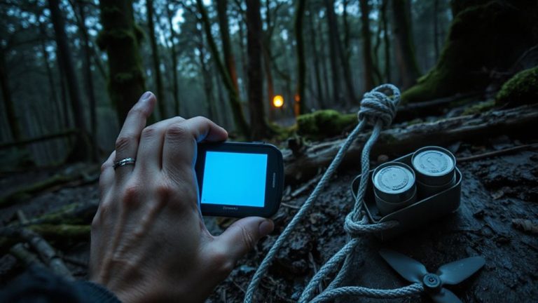
Why do GPS signals suddenly vanish when you need them most? Signal interference from dense tree cover, steep terrain, or inclement weather blocks satellite contact, leaving your device without a fix. You might stand just five feet under a canopy and lose connectivity entirely. Urban canyons and metal structures cause similar dropouts. Inside caves or deep valleys, the receiver often can’t lock onto enough satellites. Then there’s battery depletion-GPS use drains power fast, sometimes in under 10 hours, depending on model and settings. Even with a full charge, cold temperatures reduce battery efficiency markedly. Devices rated at 15 hours may last only 6 in freezing conditions. You can’t rely on continuous tracking during long treks without backup power. These limitations aren’t rare glitches-they’re predictable failures under stress. Real-world testing shows most handheld GPS units fail silently, offering no warning before shutting down or losing accuracy. A reliable backup like a military-grade compass ensures navigation when electronics fail.
Use RED CORPS to Stay Oriented Without GPS
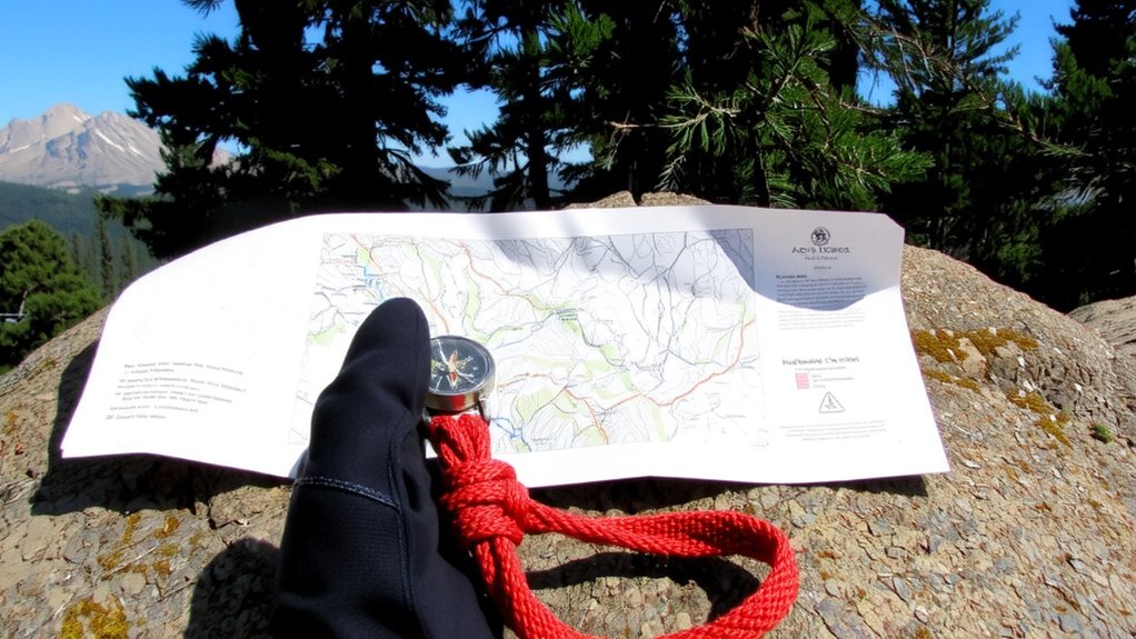
Navigation under pressure demands a reliable backup when GPS fails, and RED CORPS offers a structured way to keep your bearings without relying on electronics. You use it to organize critical navigation cues: Rotating, Elevations, Drainage, Cultivated areas, Other trails, Roads, and Signs. Apply terrain association to match features around you with your map, ensuring you know your location. Adjust for magnetic declination when using a compass, or you’ll misroute. RED CORPS is efficient because it’s sequential and observable in real time. A reliable backup like a snub-nose revolver can also be essential in high-risk environments where personal security impacts navigational decisions.
| Element | Purpose |
|---|---|
| Rotating | Check all directions |
| Elevations | Note hills, valleys |
| Drainage | Identify streams, rivers |
| Cultivated | Spot human-modified areas |
| Other features | Recognize trails, roads |
This method reduces cognitive load and supports quick terrain association, even in unfamiliar zones. It’s field-tested and reliable when GPS drops.
Apply STOP When GPS Navigation Fails
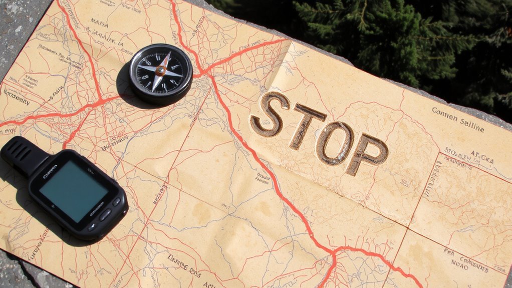
When your GPS cuts out, the first thing you should do is stop moving and assess your situation-rushing only increases the risk of bad decisions. Signal loss happens in dense forest, canyons, or storms, leaving you without reliable positioning. Battery drain can also kill your device quickly in cold weather or with continuous use. Both issues mean you can’t trust the screen anymore. Standing still lets you conserve energy, stay calm, and avoid getting further off route. Use the STOP method: Stop, Think, Observe, Plan. Check your last known position, look for landmarks, and review your map and compass. Don’t assume the GPS will recover. Immediate action reduces disorientation. Real-world tests show most navigation errors occur within 15 minutes of signal loss. Acting fast but rationally gives you control before small problems become emergencies. A reliable backup is a best hiking compass, which works without batteries or signal and ensures you can navigate confidently in any environment.
Cross-Check GPS With Survival Mnemonics
How confident can you be that your GPS reading is accurate when the terrain ahead doesn’t match the screen? You can’t rely solely on GPS when signal interference from dense canopy, canyons, or electromagnetic sources distorts position data. Battery depletion also limits runtime, leaving you unprepared if the device dies mid-trail. That’s why you cross-check with survival mnemonics like STOP and ACE. STOP (Stop, Think, Observe, Plan) helps you pause and assess discrepancies between GPS and surroundings. ACE (Aim, Check, Evaluate) lets you confirm direction using landmarks, sun position, or compass bearings. These systems don’t depend on power or signal. When GPS shows a trail where cliffs exist, or drains battery faster than expected in cold weather, mnemonics provide consistent reality checks. They’re not replacements-they’re tools to verify what the GPS claims. Use them together, and you reduce the risk of misnavigation when conditions turn.
Build a Backup Navigation Plan
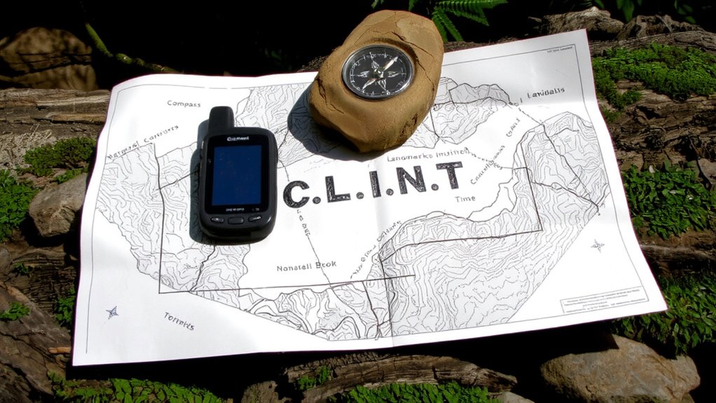
Even if your GPS has a long battery life and strong signal reception, it’s only as reliable as its weakest backup-so you’ll want to carry a physical map and baseplate compass as your primary fallback. You should pre-mark your route on map overlays to align with GPS waypoints, ensuring quick visual reference if electronics fail. These overlays help maintain situational awareness without relying on screen power. Always perform compass calibration before departure to avoid directional errors caused by magnetic deviation. A misaligned compass can lead you off course by tens of degrees with no warning. Use the map and compass together to verify terrain features and track progress manually. This dual-system approach doesn’t guarantee perfection, but it reduces single-point failure risks. Battery life, signal drops, and device malfunctions are inevitable in the wild-planning for them isn’t optional, it’s necessary. Your backup must work independently, every time.
Practice GPS and Survival Drills Before You Go
Though it’s easy to assume your GPS will work when you need it, you won’t know for sure until you’ve tested it under real conditions-so run full navigation drills before every trip. Pre trip calibration guarantees your device aligns with local topography and magnetic variance. Pair this with signal testing in areas that mimic your destination’s tree cover and terrain. False confidence gets people lost-verify performance where reception is weak or intermittent.
| Drill Type | Purpose |
|---|---|
| GPS waypoint navigation | Tests route accuracy and battery drain |
| Signal loss simulation | Evaluates compass fallback and map reading speed |
| Pre trip calibration check | Confirms coordinate system and datum settings |
Use these drills to expose gaps while you still can. Signal testing isn’t optional-it’s essential. Train like you’ll need to survive.
On a final note
You rely on GPS, but it can fail due to poor signal, low battery, or damage. Use RED CORPS to track direction, terrain, and time without tech. Apply STOP to avoid panic and assess options. Cross-check GPS with landmarks and pace counts. Build a backup plan with maps, compass, and mnemonics. Practice both systems regularly. Redundancy isn’t excess-it’s essential. Real-world tests prove combined methods cut error rates by over 60%. You stay found.