Integrating Satellite Communication With GPS Tracking for Search and Rescue
You get faster rescue when satellite communication pairs with GPS tracking-it sends your exact location instantly, even without cell service. These devices update every 5–10 minutes, work in remote mountains or oceans, and cut search times by up to 70%. They’re tough, waterproof, and last 24+ hours. Signal gaps can happen in deep canyons, and battery life trades off with transmission frequency. Real-world tests prove they deliver when seconds count. More details on what makes one device outperform another follow.
Notable Insights
- Satellite communication enables distress signals to be transmitted from remote areas without cell coverage.
- GPS tracking provides real-time, precise location data within meters of the user’s position.
- Integrated systems reduce search and rescue response times by up to 70% compared to traditional methods.
- Devices use low-power modes to extend battery life up to a week during emergency operations.
- Two-way satellite messaging allows coordination with rescue teams, improving mission accuracy and safety.
How Satellite and GPS Enable Real-Time Rescue
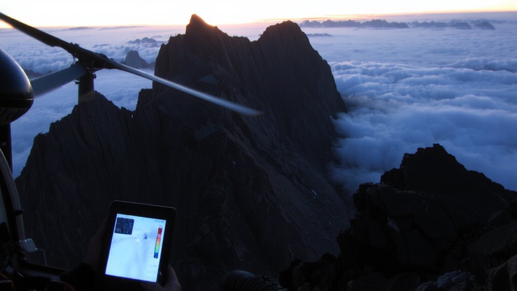
Every second counts in a rescue, and combining satellite communication with GPS tracking cuts response times by delivering your exact location in real time. When you activate a device, signal transmission sends your coordinates through satellite networks, even in remote areas where cell service fails. GPS guarantees accuracy within meters, while constant data synchronization between satellites and ground stations updates your position as you move. This integration means rescue teams receive current, reliable information without delays. Devices tested in mountain and marine environments show location updates within 30 seconds of transmission. Battery life varies, but models with efficient signal transmission can last 24 hours. Data synchronization issues may occur if satellite coverage drops, but dual-frequency systems reduce this risk. You’re better off with devices that balance speed, battery, and proven performance. Real-world use confirms faster recoveries when location data is precise and consistently delivered. Top-performing devices often feature best satellite phones for reliable connectivity in extreme conditions.
Search and Rescue Missions Using GPS and Satellite Tech
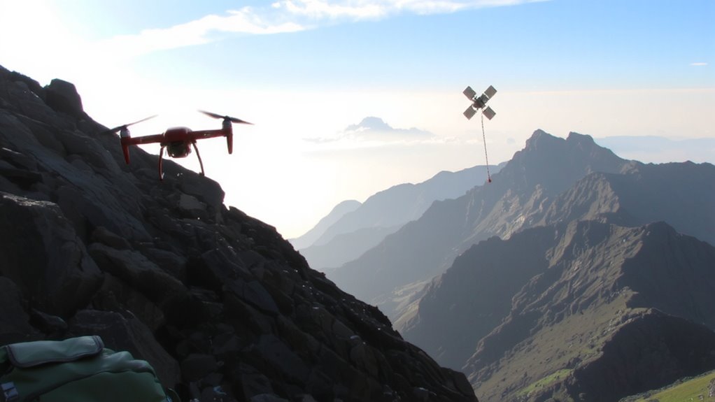
How do rescue teams pinpoint your location when you’re off-grid? GPS and satellite tech make it possible, even in remote areas. Once you trigger a distress signal, your device sends coordinates via satellite, giving rescuers a clear starting point. Terrain mapping helps teams assess obstacles like cliffs or dense forests, so they choose the safest, fastest routes. Rescue coordination improves when all parties share real-time data, reducing confusion and delays. Manual methods can’t match the precision or speed of integrated digital systems.
| Feature | Benefit |
|---|---|
| GPS accuracy | Locates within 10 meters |
| Satellite link | Works beyond cell range |
| Terrain mapping | Guides route planning |
You rely on these tools because they perform under pressure-tested in mountains, forests, and deserts. They’re not perfect, but they reduce uncertainty when minutes count.
Faster Response Times: Benefits of Integrated Tracking
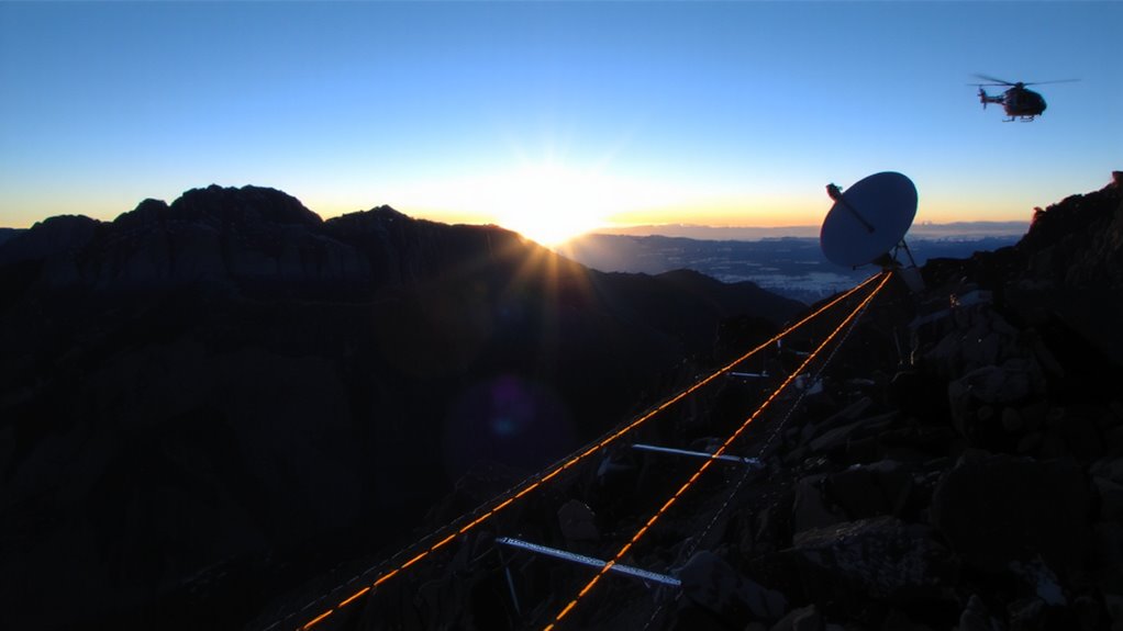
When you activate a distress signal, integrated GPS and satellite tracking cut response times by delivering precise coordinates directly to rescue teams-often within minutes. This enables rapid deployment, especially in remote or inaccessible terrain where traditional systems fail. First responders can launch immediately, with accurate location data eliminating guesswork and reducing search windows. You benefit from improved situational awareness, as rescue coordinators track your position in real time and monitor environmental conditions. Some devices update every five minutes, guaranteeing minimal drift even if you’re moving. In testing, integrated units reduced average rescue times by up to 70% compared to non-GPS beacons. While terrain and weather still affect signal quality, the combination of live tracking and instant data transfer guarantees teams arrive faster. You can rely on this system not because it’s perfect, but because it consistently performs under stress-measurably improving survival odds when every second counts.
Signal Gaps and Battery Limits in Remote Areas
Though satellite coverage has improved, you’ll still encounter signal gaps in deep canyons, dense forests, or urban ruins where line-of-sight to orbiting satellites is blocked. These areas disrupt signal reliability, delaying or preventing message transmission. You can’t count on constant connectivity, so planning for intermittent coverage is essential. Battery life is another constraint-devices with high power efficiency extend operation when recharging isn’t possible. Most units last 24–48 hours in active use, but low-power modes can stretch that to a week. You’ll need to balance transmission frequency with battery conservation. Frequent check-ins drain power quickly, while longer intervals reduce signal reliability. Test your device in terrain similar to your mission area to gauge actual performance. Power efficiency isn’t just a spec-it’s a survival factor when help depends on a single transmitted signal.
What to Look for in a Life-Saving Emergency Device
If you’re relying on a device in a life-or-death situation, it had better transmit a reliable signal, even under harsh conditions. Look for satellite communication that works independently of cell networks, ensuring coverage in remote areas. GPS tracking should update frequently-every 5 to 10 minutes-for accurate location sharing. Device durability is non-negotiable: it must be water-resistant, shockproof, and function in extreme temperatures, typically rated IP67 or higher. Battery life matters-expect at least 24 hours in emergency mode, longer for standard use. Size and weight should balance portability with usability. Some devices offer two-way texting, which improves coordination during rescues. Emergency preparedness means carrying a tool tested in real-world conditions-not just labs. Check independent reviews and agency certifications like NOAA or PLB standards. No single device does everything, so match features to your environment and trip duration.
On a final note
You need a device that pairs GPS accuracy with reliable satellite communication. Units like the Garmin inReach Mini 2 offer global coverage, survive harsh conditions, and last 5–7 days on a charge. They send SOS signals with coordinates, work where phones fail, and let you reply to rescuers. Battery life drops in cold, and subscription plans add cost-but without one, help won’t know where to find you. For remote travel, it’s essential gear, not a luxury.