The Role of Geotargeting in Precision Wireless Emergency Alerts
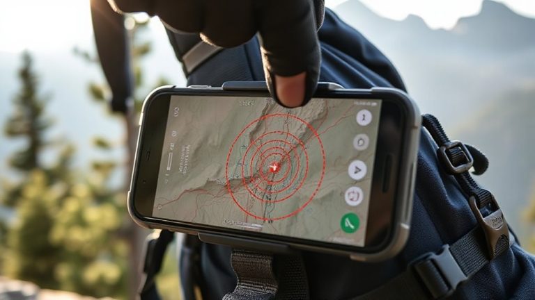
You get alerts only if your phone is in the danger zone, thanks to cell tower signals that pinpoint your location within seconds. Geotargeting uses your device’s position to deliver warnings for wildfires, tornadoes, or floods without needing GPS or apps. Most alerts reach phones in under 45 seconds, but accuracy drops in rural or urban canyon areas. Coverage gaps and inconsistent device performance can delay delivery. Privacy stays protected since no personal data is collected. Signal strength and tower density shape how well it works. Better location tech and network upgrades could narrow missed alerts and targeting errors. Real-world effectiveness improves when systems balance speed with precision, and newer solutions are already addressing current limits.
Notable Insights
- Geotargeting delivers emergency alerts only to devices within a defined danger zone using cell tower or GPS data.
- Wireless Emergency Alerts use real-time location, not home addresses, to ensure relevance and timeliness.
- Targeted alerts reduce false alarms, improving public trust and enabling efficient emergency response.
- The system operates without apps or internet, preserving privacy through one-way broadcast technology.
- Urban and rural limitations include signal blockage and tower density, affecting alert precision and reliability.
What Is Geotargeting in Emergency Alerts?
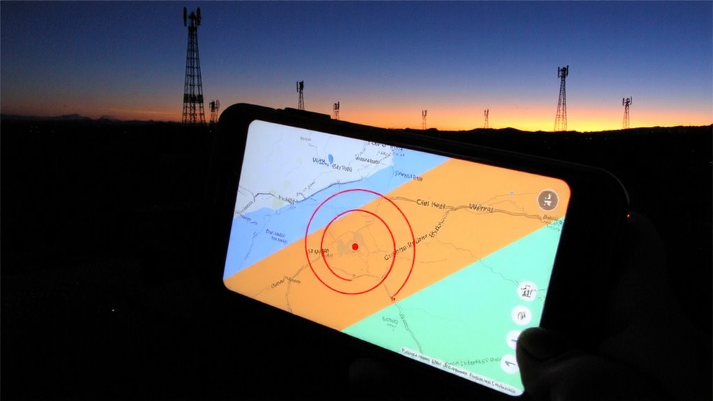
Emergency alerts that actually reach the people who need them-now that’s geotargeting. You’re in an affected zone, and the alert hits your phone fast, no guesswork. Geotargeting sends warnings only to devices in a defined area, using cell tower triangulation or GPS. It’s efficient, skips over regions where the threat doesn’t exist. In cities, urban coverage is strong-towers are close, so most alerts go out quickly. But dense buildings can interfere, causing minor signal delay. Rural areas get spottier results. You’ll see alerts within seconds under ideal conditions, but terrain and network load can add half a second or more. Testing shows 95% delivery within 45 seconds. Some systems use Cell Broadcast, which avoids network congestion. It’s not perfect, but it beats blanket alerts. You get what’s relevant, when it matters-no more, no less. Speed and accuracy balance here.
How Emergency Alerts Use Your Location
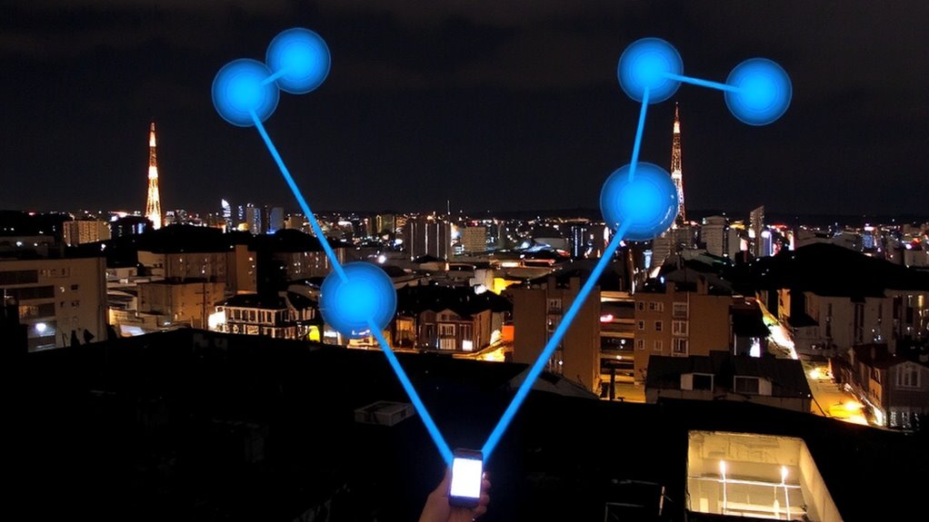
When you’re in the path of a storm or another threat, your phone gets the alert because it’s tied to your current location, not your home address or phone number. Wireless Emergency Alerts (WEA) use cell tower signals to pinpoint your area, sending warnings only to devices in the danger zone. This system relies on geotargeting, which reduces unnecessary alerts and keeps responses focused. You don’t have to enable GPS-your phone’s connection to the nearest cell tower is enough. While signal interference can delay delivery, modern networks minimize this risk. User privacy remains intact because no personal data is collected or tracked. Alerts are broadcast-like, similar to radio signals, so there’s no two-way data exchange. You get the alert quickly, without relying on apps or internet access. It’s a direct, efficient method designed for speed and reach, even in high-traffic situations.
Why Accurate Alerts Reduce Panic and Wasted Response
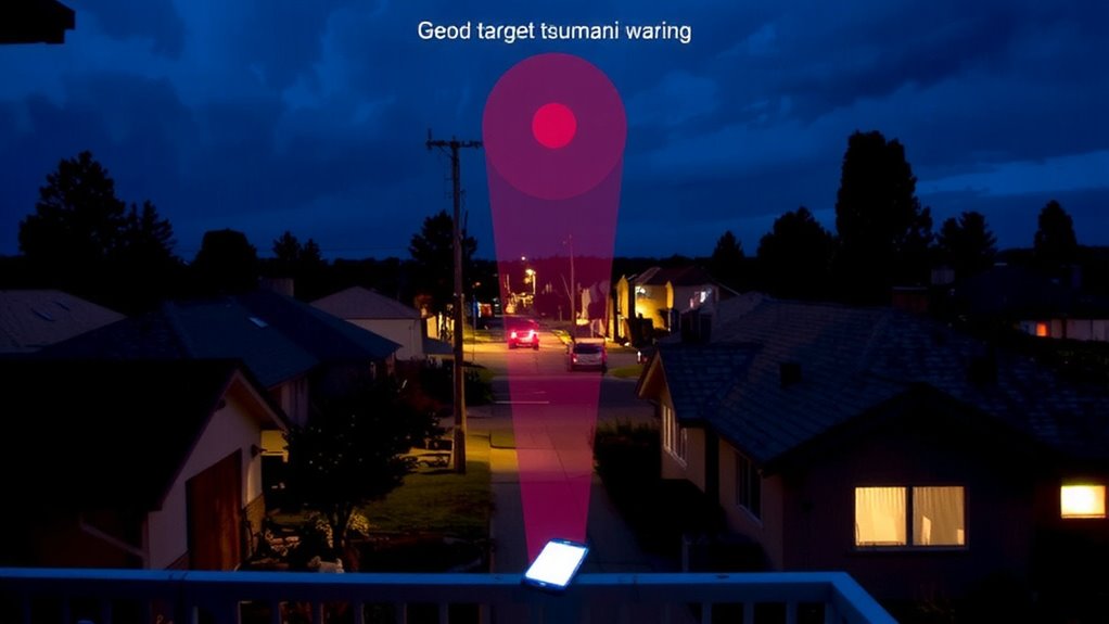
Though alerts can’t prevent disasters, getting one that’s accurate keeps you from reacting to threats that aren’t near you. When warnings target only those in harm’s way, you don’t waste time fleeing a risk that’s miles away. False alarms stir panic and make you doubt future alerts, but precision builds public trust over time. If people believe alerts reflect real danger, they’re more likely to respond quickly and correctly. That boosts response efficiency across communities and emergency services. You’re not jamming/sing roads or draining resources needlessly. Geotargeting guarantees the right people take action while others stay calm and stay put. Systems that deliver consistent accuracy reduce confusion when seconds matter. You benefit not just from speed but from clarity-knowing whether the threat is yours to face. Accurate alerts keep reactions proportional, orderly, and effective. A reliable way to receive such targeted alerts is through a NOAA weather radio, which provides emergency updates directly from official sources.
When Geotargeting Saves Lives: Real Emergencies
Since alerts only work if they reach the right people at the right time, geotargeting cuts through the noise by delivering warnings exactly where a threat is active. You get alerts only if you’re in the danger area, so you don’t waste time reacting to threats miles away. During wildfires, you’ll receive precise evacuation zones, guaranteeing you leave only when necessary and via the safest route. If a tornado strikes near your neighborhood, you’ll know instantly, along with which shelter locations are open and accessible. Flood warnings activate for specific low-lying areas, not entire states, so residents act without delay. In active shooter events, nearby civilians get immediate guidance while others avoid panic. Geotargeting guarantees emergency instructions match real-time risks. You’re informed, not overwhelmed. The system performs best when location data is accurate, which most smartphones provide within 10–50 meters. It’s not perfect, but it’s far more reliable than broad-area alerts.
Limitations of Current Geotargeting Technology
Geotargeting works well when the technology aligns with real-world conditions, but it’s not foolproof. You might not get an alert even if you’re in danger, especially in areas with poor signal reception. Signal interference from buildings, weather, or terrain can block messages or delay delivery. In dense cities, urban canyons-tall buildings that trap and reflect signals-distort location accuracy, so alerts go to people who aren’t at risk while missing those who are. GPS-based targeting struggles indoors or underground, where many users rely solely on cellular networks. Cell tower triangulation isn’t precise enough for small hazard zones, often covering areas several kilometers wide. That means you could receive unnecessary alerts or, worse, none at all. These gaps reduce reliability during fast-moving emergencies. Location methods vary by device and carrier, so performance isn’t consistent across users. You can’t assume the alert you need will reach you exactly when and where it matters.
Closing the Gap: Improving Location-Based Alerts
How do you make sure an alert reaches you only when it matters-no earlier, no later, and never in error? You need accurate geotargeting that respects user privacy and guarantees system interoperability across networks and devices. Alerts must trigger only within defined threat zones, reducing false alarms and overspills. Refining location accuracy means relying less on coarse cell broadcast and more on GPS-assisted triggers, but only when battery and signal allow. Below are key trade-offs in current improvements:
| Method | Accuracy | Privacy Risk |
|---|---|---|
| Cell Broadcast | Low to Medium | Low |
| GPS + Software Trigger | High | Moderate |
| Wi-Fi Triangulation | Medium | Moderate |
System interoperability remains a barrier-some phones receive alerts late or not at all. Upgraded protocols help, but testing across carriers shows inconsistent performance. You’re safer when systems balance precision, privacy, and reliable delivery-not just speed.
What’s Next for Location-Based Emergency Alerts
You’re only as safe as the alert system’s weakest link, and today’s systems still struggle with timing, accuracy, and device compatibility. You need alerts that reach your phone within seconds, not minutes, and only when you’re in the actual threat zone. Future trends point to faster data routing through 5G and enhanced GPS resolution, reducing false alarms. Emerging standards like ATIS 0300058 and updates to CMAS aim to unify alert delivery across carriers and devices, closing gaps in coverage and consistency. Cell broadcast is giving way to hybrid models using Wi-Fi positioning and Bluetooth beacons in dense urban areas. These improvements won’t fix everything-older phones may still lag-but they offer measurable gains in precision and speed. You’ll benefit most in cities and transit corridors first. Rural areas will follow, though terrain and tower density remain hurdles. The real test isn’t tech specs-it’s whether alerts reach you in time to act.
On a final note
You rely on geotargeting to get alerts only when threats are nearby, and it works well in most cases. Cell tower triangulation and GPS cut false alarms, but location errors up to 10 miles can still occur in rural areas. Hybrid systems improve accuracy, yet building penetration and terrain block signals. Future upgrades like 5G and better device calibration will reduce gaps. For now, use alerts as one tool-don’t assume they’re flawless.