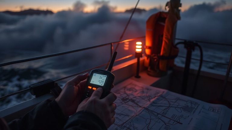
The Role of Satellite Messaging in Search and Rescue Operations
You’ll rely on satellite messaging when cell phones fail-sending SOS alerts and GPS coordinates directly to rescue teams, even in remote terrain. These devices connect to orbiting satellites, work in storms or off-grid, and are built tough for extreme conditions. With one-touch emergency triggers and global coverage, they cut response times. Battery life, signal blockage in canyons, and subscription costs are trade-offs. Real-world rescues prove their value-knowing more helps you choose wisely.
Notable Insights
- Satellite messaging enables reliable communication in remote areas where cell networks are unavailable.
- Built-in GPS and one-touch SOS features allow precise location tracking during emergencies.
- Devices are durable, lightweight, and designed to operate in extreme environmental conditions.
- Real-time coordination and status updates improve team efficiency during SAR missions.
- Global satellite coverage ensures connectivity in oceans, mountains, and disaster-affected regions.
Why Satellite Messaging Beats Cell Phones in the Wild
While cell phones work fine in cities, they’re nearly useless when you’re miles from the nearest tower, and that’s where satellite messengers shine. You can’t rely on cell networks in remote areas, but satellite devices offer consistent signal reliability because they connect directly to orbiting satellites. Unlike cell phones, which depend on scattered ground towers, these messengers maintain geographic coverage across oceans, mountains, and deserts. If you’re hiking in Alaska or trekking through the Andes, the signal stays stable. They work when traditional infrastructure fails-during storms, wildfires, or when off-grid for weeks. Yes, messaging is slower and requires clear sky views, but the trade-off is clear: reach versus convenience. For survival situations, knowing your message will send matters more than speed. That’s why, in the wild, satellite messengers aren’t just better-they’re essential.
3 Features That Make Satellite Devices SAR Essentials
You’ve seen why satellite messengers outperform cell phones in remote areas-they keep working when terrestrial networks vanish. Now consider what makes them essential in SAR scenarios. Device durability isn’t optional; these units are built to withstand drops, water, and extreme temperatures, often rated to military standards. That toughness guarantees they function when dropped in a river or buried in a snowpack. Satellite devices also support dedicated emergency protocols, including one-touch SOS that triggers immediate alerts to certified response centers. Unlike consumer apps, they use satellite constellations with global coverage, so location data reaches rescuers even in deep canyons. Battery life spans days, not hours, under constant use. They’re lightweight-under 10 ounces-so carrying one won’t slow you down. These features don’t promise miracles, but they deliver measurable advantages when seconds count and conditions turn dire.
True Stories: Satellite Messaging in SAR Rescues
How many times has a single signal made the difference between life and death? More than you think. Satellite messaging has turned false alarms into confirmed rescues and minimized the emotional impact on families waiting for news. Real cases show hikers stranded in Alaska, sailors dismasted in the Pacific, and climbers injured on Denali-all brought home because a compact device sent one GPS-tagged message.
| Scenario | Response Time | Outcome |
|---|---|---|
| Hiker in Rockies | 90 min | Safe evacuation |
| Kayaker, storm surge | 4 hr | Mild hypothermia |
| Lost in Patagonia | 6 hr | No injuries |
These devices don’t guarantee safety, but they reduce uncertainty. False alarms still occur, yet most confirmed distress signals lead to field verification. The emotional impact on responders and families drops when location data arrives instantly. You can’t control the terrain, but with satellite messaging, you gain a measurable edge-precision, speed, and reliability when seconds count.
How Rescuers Use Satellite Messaging to Coordinate Missions
Rescuers rely on satellite messaging not for flair or convenience, but because it cuts response times and locks in exact coordinates when minutes matter. You use it during mission planning to share waypoints, assign team roles, and confirm equipment loads across remote bases where cell signals fail. Once deployed, real time tracking lets commanders monitor team movements on a central map, adjusting routes around terrain hazards or weather shifts. You send status updates every hour, reducing guesswork and eliminating radio congestion. If a team spots debris or a survivor, they transmit GPS-tagged alerts instantly-no delay, no ambiguity. Satellite networks maintain connectivity even when infrastructure is down, ensuring constant coordination. You don’t depend on it because it’s new, but because it’s proven: tested in blizzards, dense forest, and open ocean. It works where others don’t, and that reliability shapes outcomes.
How to Choose the Best Satellite Messaging Device for Safety
What makes one satellite messenger better than another when your safety’s on the line? It comes down to reliability, ease of use, and how well it fits your environment. You need strong device compatibility with emergency networks like GEOS or SARSAT, ensuring your signal reaches rescue coordinators without delay. Check if the device integrates with your existing gear-some models sync with GPS units or smartphones, streamlining communication. User training matters just as much; a device with intuitive controls helps under stress, but only if you’ve practiced with it. Don’t assume features work the same across brands-learn the exact steps for triggering an SOS. Prioritize tested performance in harsh terrain over marketing claims. A dependable device won’t fail when you do, but only if you’ve trained properly and confirmed compatibility with rescue infrastructure.
Battery Life, Signal Obstruction, and Cost: 3 Limits of Satellite Messaging
Even the most reliable satellite messenger won’t help if the battery dies mid-hike or you’re in a deep canyon with no signal. Battery life varies widely-some models last just 24 hours in active use, while others stretch to a week, affecting how often you need to recharge. You’ll also lose signal under heavy tree cover or steep terrain, limiting reliability in dense forests or narrow gorges. Cost adds up quickly: not just the device, but ongoing subscription plans that might lack flexibility. Some services lock you into long-term contracts, while others offer pay-as-you-go, giving better subscription flexibility. Device weight matters too-lighter units save pack space but may compromise on battery or durability. You’re balancing performance against portability. These limits-battery, signal, cost-all shape real-world effectiveness. Choose based on where you go, how long you’re out, and what trade-offs you can afford.
On a final note
You need satellite messaging when cell service fails, and every second counts. It works in remote areas, delivers location data, and runs for days on a charge. Devices like Garmin inReach and Zoleo offer two-way texts and global coverage, but expect delays in bad weather or dense forest. Battery life, signal limits, and cost vary-choose based on range, durability, and subscription needs. Test it before you go. It won’t save you by itself, but it helps rescuers find you.