How to Use Satellite Devices to Send Coordinates to Maritime Rescue
Use a satellite device with 406 MHz and GPS to send accurate coordinates during a real emergency. Register it first so rescue teams get your details. Test the SOS function before each trip to confirm signal transmission. Activate with a 3–5 second button press, keep it upright and still for best results. Signals go via satellite to rescue centers in minutes. Make sure it’s charged, protected from saltwater, and always ready-knowing how it performs could determine response speed when every second matters.
Notable Insights
- Use a 406 MHz satellite device with GPS to ensure accurate, rapid transmission of your location to rescue services.
- Register your device online with up-to-date user and vessel information to enable emergency identification and response.
- Activate the SOS function by holding the distress button for 3–5 seconds until the transmission indicator confirms.
- Keep the device upright and stationary with clear sky visibility to maintain satellite signal during transmission.
- Test the SOS function regularly in open water to verify signal transmission, GPS lock, and network connectivity.
Choose the Right Satellite Emergency Device for Boating
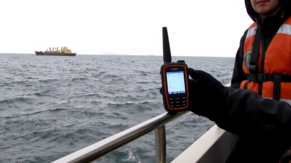
When it comes to staying safe on the water, picking the right satellite emergency device isn’t something you can wing it on. You need reliable signal strength to guarantee your distress call reaches rescue services, even in rough seas or poor weather. Devices using the 406 MHz frequency with GPS integration offer faster, more accurate location transmission. Look for models tested in real maritime conditions-strong signal strength means nothing if the device fails when dunked in saltwater. That’s where device durability matters. Units with rugged, waterproof housings (IP68 rated or better) withstand impacts, corrosion, and prolonged exposure. Battery life should cover at least 24 hours of continuous transmission. Some devices pair with apps for situational updates, but don’t trade core reliability for extra features. Choose based on proven performance, not marketing. Your life depends on signal strength and device durability-everything else is secondary.
Register Your Satellite Device Before You Head Out
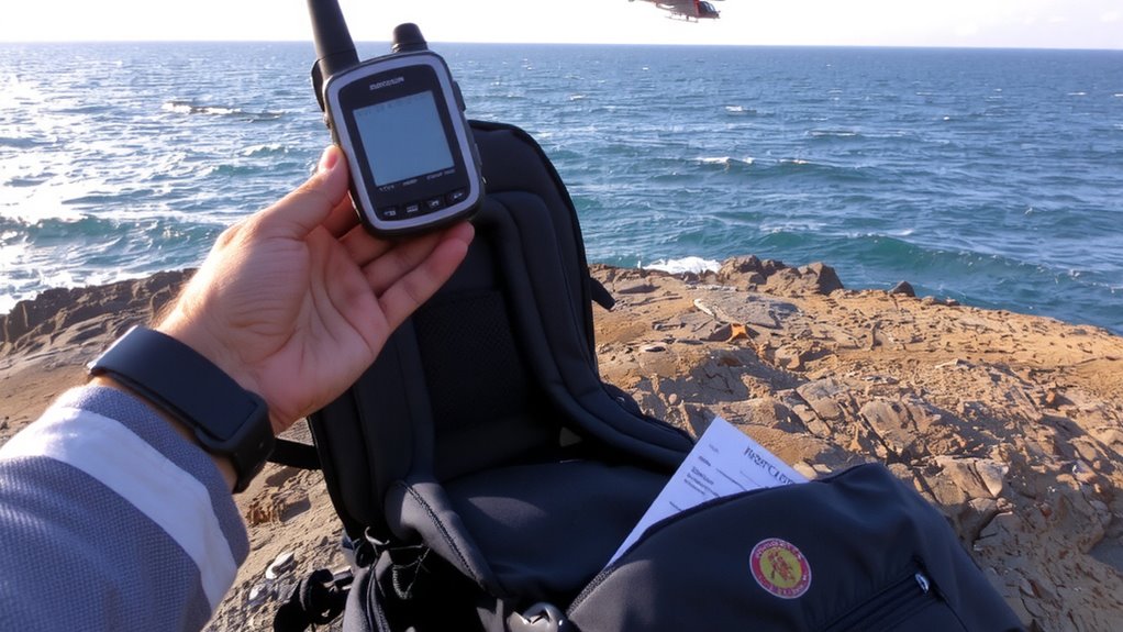
Every satellite emergency device you carry on the water needs to be registered-no exceptions. Without device registration, rescue teams won’t receive your location or identification, delaying response. Account activation links your device to your contact and medical details, ensuring accurate communication during emergencies. It’s a quick process, but critical for functionality. Skipping it renders your device far less effective, no matter the brand or model.
| Step | Action |
|---|---|
| 1 | Create an account with the device provider |
| 2 | Enter your device’s unique ID for registration |
| 3 | Complete account activation online |
| 4 | Confirm registration status before departure |
Update your information annually or after changes. Device registration isn’t a one-time setup-verify it works before every trip. Real-world performance hinges on these steps being done right.
Send a Test SOS to Confirm It Works at Sea
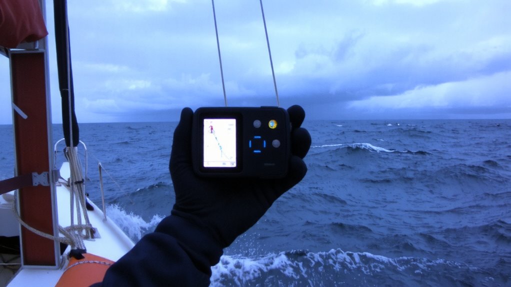
How do you know your satellite device will work when your life depends on it? You test it. Perform signal testing before relying on it at sea. Most satellite devices let you send a test SOS without triggering a real rescue-use this feature. It confirms the device can lock onto satellites, transmit your position accurately, and deliver the alert through the network. A successful test means your coordinates reach the response center in minutes, not hours. But avoid accidental activations; they create false alarms and waste rescue resources. Even a brief wrong press can prompt an investigation. Check your device’s manual: some require holding the button for several seconds to prevent mistakes. Do the test in open water, away from land-based signals. Run checks before every major voyage. It takes little time and guarantees reliability when seconds count.
Trigger an SOS Properly During a Real Emergency
You’ve tested your satellite device, confirmed the signal, and know it functions in open water-now comes the real moment. If you’re in danger, activate the SOS only when necessary-false alarms waste rescue resources. Hold the distress button for 3–5 seconds until the indicator confirms transmission. This initiates distress signaling linked to your device’s emergency positioning. GPS accuracy within 10 meters guarantees rescuers locate you quickly, even in rough seas. Keep the device upright and stationary for consistent signal lock. Battery life drops during transmission, so conserve power if help might be hours away. Satellite coverage isn’t instant-delays of up to 5 minutes can occur. Avoid moving during transmission, as that disrupts emergency positioning. Your device sends location and identification data, but does not guarantee immediate voice contact. Stay calm, stay put, and wait. Proper use increases survival odds-poor timing or panic reduces effectiveness.
How Your GPS Alert Reaches Search and Rescue
When your distress signal activates, it doesn’t go directly to rescuers-it first travels via satellite network to a ground station, where it’s processed and forwarded to the nearest rescue coordination center. This signal transmission typically takes under a minute with modern systems like COSPAS-SARSAT. Your GPS coordinates are embedded in the signal, allowing rescue coordination teams to dispatch assets quickly. Most satellite devices support 406 MHz transmission, optimized for global detection and location accuracy within 100 meters. Some models add return-message confirmation, letting you know help is on the way. Signal transmission reliability depends on clear sky visibility-obstructions can delay detection. While systems vary in battery life and size, all rely on the same rescue coordination infrastructure. Choose a device with proven signal strength and GPS lock speed, as every second counts. You’re not just sending data-you’re initiating a verified rescue chain.
Notify Emergency Contacts Automatically
While your distress signal is en route to search and rescue, many satellite devices can simultaneously alert your emergency contacts-cutting out extra steps and delays. You don’t have to manually call or text; emergency alerts go out automatically when you trigger the SOS. Devices like the Garmin inReach and SPOT X offer this feature, sending automatic updates that include your GPS coordinates. These alerts typically arrive via email or SMS, depending on how your contacts are set up. The system works wherever satellite coverage is available, even without cell service. Some units let you customize message content, so you can provide brief context. Automatic updates continue at set intervals if needed, helping others track your status without extra effort on your part. This integration improves coordination between rescuers and loved ones. It doesn’t replace professional help but supports faster personal response.
Keep Your Device Charged and Ready
A dead battery won’t summon help, so keeping your satellite device charged is non-negotiable. You need reliable battery maintenance to guarantee it activates when emergencies strike. Most models last 24–48 hours in active use, but standby mode can stretch that to weeks. Still, don’t rely on that. Charge it weekly, even if unused-lithium batteries degrade faster when left drained. Set a reminder and stick to regular charging routines. Use the included USB cable or solar charger, but verify full charge via the indicator light. Cold reduces battery efficiency, so warm the unit before use if exposed to low temps. Don’t wait until you’re offshore to check power. A fully charged device sends coordinates faster and maintains signal lock longer. Test power levels monthly. In rescue scenarios, seconds count-your life depends on that charge. Plan ahead. Stay ready. For extended trips, consider a solar charger power bank to maintain power without grid access.
On a final note
You’ll want a satellite device that transmits GPS coordinates reliably, like the Garmin inReach or PLB with 406 MHz. Register it, test before each trip, and keep it charged. When you trigger SOS, coordinates go via satellite to rescue teams in minutes. Some models alert contacts too. Signal strength drops if held low or covered-hold high and clear. Not all devices work globally; check coverage. Choose based on range, battery life, and confirmation alerts.