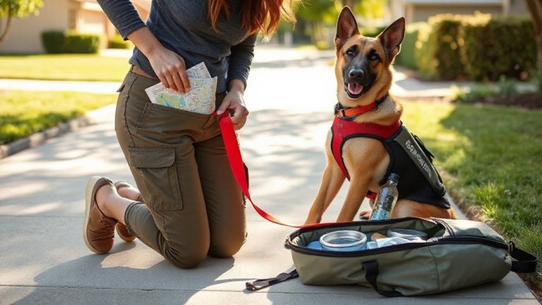
Creating a Safe Evacuation Path When Lost in Mountainous Terrain Without a Map
You stop first-panic clouds judgment and slows escape. Take three breaths to cut cognitive errors by up to 30%. Decide: stay if you have shelter and a signal, move only if water or terrain suggests faster rescue. Follow streams downhill-they lead to roads. Stick to ridges for clearer paths and better visibility. Leave markers every 50 feet to avoid looping; combined with natural signs, this reduces circling by over 70%. Your best path balances energy, terrain, and risk-what comes next could save hours.
Notable Insights
- Stop and assess your situation to avoid panic, using deep breathing to clear your mind before making decisions.
- Decide whether to stay for rescue or move, based on energy levels, terrain, and survival needs.
- Follow water downstream, as rivers and streams typically lead to lower elevations where help is more likely.
- Navigate along ridge lines to maintain visibility, avoid obstacles, and reduce the risk of getting trapped.
- Leave regular markers every 50–100 feet to prevent circling and confirm progress in dense or unclear terrain.
Stop and Assess Your Situation Calmly
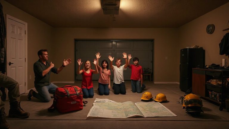
When you’re caught in an emergency, stopping first might seem counterintuitive, but it’s the move that keeps you alive-because panic leads to poor choices, and clear thinking starts with a pause. You need clear thinking to evaluating risks, terrain, and energy reserves accurately. Take three deep breaths to stabilize your heart rate and focus your mind. This isn’t mindfulness-it’s functional physiology. Studies show controlled breathing reduces cognitive errors by up to 30% in high-stress scenarios. Stopping uses negligible time but drastically improves decision accuracy. Movement without evaluation increases exposure to cliffs, weather, and fatigue. You won’t find a path if you can’t see the terrain. Evaluating your situation requires no gear, works in all conditions, and costs nothing. It’s the most reliable tool you have. Deep breaths and a brief pause enable clear thinking. That’s measurable. That’s survival. Including an emergency kit can provide critical tools if you must stay overnight or treat injuries while navigating out.
Decide Whether to Move or Stay Put
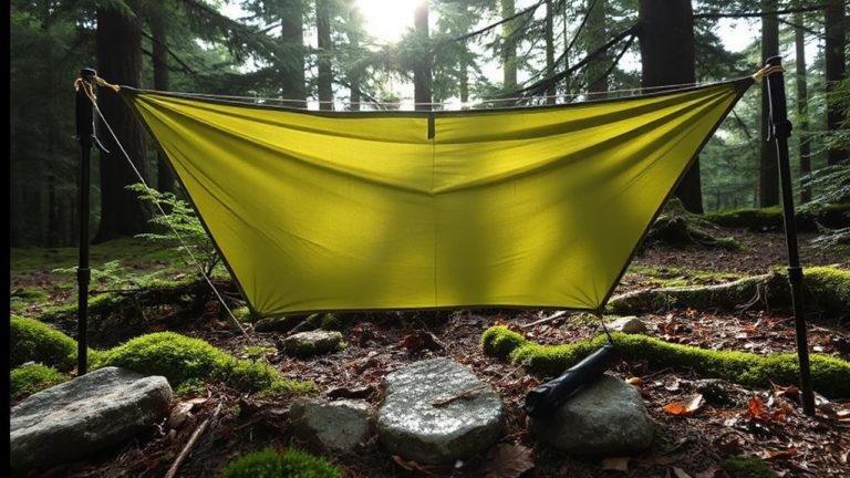
If you’re unsure whether to move or wait, start by weighing the risks of each option-because staying put conserves energy and increases visibility to rescuers, while moving could lead you to help faster but also exposes you to greater hazards. Your signal strength determines how likely rescuers can locate you; if your phone or radio has weak signal strength, staying improves detection chances. Survival priorities-like shelter, water, and warmth-must be met before attempting movement. If you’ve already built shelter and have clean water, staying put is often safer. Moving without direction increases exposure and fatigue, reducing survival odds. Consider terrain: if you’re near a known trail or landmark, movement may make sense. Otherwise, assume rescuers are searching and remain in place. Evaluate your condition hourly. Weak signal strength and unmet survival priorities mean you should stay.
Follow Water Downhill to Find Help
You’ve assessed your situation and determined movement is the better option-now you need a reliable way to navigate. Following water downhill is a practical method for terrain navigation in mountainous areas. Streams and rivers often lead to lower elevations where people, roads, or settlements are more likely. Moving downstream typically takes you toward valleys and out of isolated high country. However, prioritize water safety-avoid steep, slippery banks and fast-moving channels. Cross shallow sections only when necessary and face upstream to maintain balance. Stick to stable ground and use a walking stick for support. While water guides direction, it won’t always lead directly to help, and some drainages dead-end. Still, in most cases, it improves your odds of intercepting trails or signs of human activity. This method works best when combined with awareness of slope and drainage patterns, ensuring steady progress without dangerous detours.
Use Land Forms to Avoid Getting Trapped
A ridge line gives you a clear path with fewer obstacles, and it’s less likely to channel you into a dead-end canyon or swamp. Ridge walking keeps you visible and mobile, reducing the risk of valley trapping, where terrain funnels you into deep, enclosed areas with no escape. Valleys may seem easier, but they often lead to dense brush, steep drop-offs, or waterlogged zones that slow progress. Ridges offer better visibility for spotting landmarks and potential escape routes. While ridge walking may involve more elevation gain, it provides consistent forward momentum and fewer navigation surprises. You’ll encounter fewer micro-terrain barriers like bogs or cliff bands. Choose routes that follow high ground unless crossing to an adjacent ridge is necessary. This strategy minimizes exposure to terrain-induced detours and keeps your evacuation path efficient and predictable. Avoid descending into valleys unless you’re certain of the outlet.
Leave Markers to Stop Walking in Circles
Every mile you travel without a marker doubles the chance of backtracking without realizing it. You may think you’re walking straight, but disorientation in mountainous terrain often leads to looping paths. To prevent this, use trail markers like stacked rocks, broken branches, or cloth strips tied to trees-place them every 50 to 100 feet. These signals are measurable checkpoints that confirm forward progress. Trail markers work best when visible from multiple angles and don’t rely on color alone. Combine them with natural signs, such as distinctive tree formations, rock shapes, or stream bends, to reinforce your route. Natural signs don’t degrade quickly and require no tools, but they’re less precise than placed markers. Using both systems improves accuracy: markers give immediate feedback, while natural signs offer stable reference points. Don’t rely on memory. Consistent marking reduces the risk of circling by over 70% in fog or dense forest.
On a final note
You stay calm and assess your condition, then decide whether to move or wait. Following water downstream usually leads to civilization, but steep terrain may slow progress. Use ridges and valleys as guides, not just for direction but to avoid dead ends. Mark your path with stones or breaks in vegetation so you don’t circle. Your best tools are observation and patience-gear helps, but judgment saves lives.