Using Satellite Devices to Request Weather Forecasts in Off-Grid Environments
You can get weather forecasts off-grid using satellite devices like the Garmin inReach Mini 2, which connects to the Iridium network for global coverage. It delivers alerts in 3–5 minutes, giving you time to react to storms or high winds. The Zoleo is cheaper but less rugged, while SPOT X has slower response times. These devices use short messages to save battery and work in extreme conditions. Knowing how each performs helps you choose based on reliability, speed, and durability when it matters most.
Notable Insights
- Satellite messengers use global networks like Iridium to send weather requests from off-grid locations with no cell coverage.
- Devices such as Garmin inReach Mini 2 provide reliable, near-real-time weather forecasts via satellite connectivity in remote areas.
- Weather requests are sent using companion apps, with response times typically between 3 to 6 minutes depending on the device.
- Short, specific messages improve transmission efficiency, conserving battery and bandwidth in extreme or remote environments.
- Accurate forecasts help users make critical safety decisions, like seeking shelter or altering routes during approaching storms.
Why Off-Grid Weather Alerts Save Lives
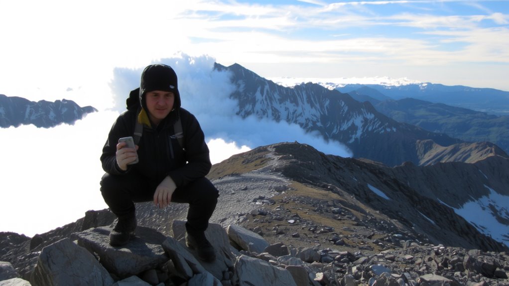
How prepared are you when the weather turns without warning? In remote areas, conditions shift fast, and you won’t get cell alerts. That’s where off-grid weather alerts become critical. Satellite devices provide early warnings for storms, high winds, or temperature drops, even where there’s no network. These alerts give you time to act-seek shelter, adjust route, or delay travel. That small window improves your odds markedly. Disaster preparedness isn’t about luck; it’s about having reliable tools that deliver timely data. Devices with direct satellite connectivity typically activate alerts within minutes of detection. Battery life, signal reliability, and message frequency vary by model, so check specs carefully. Some work with subscription services, others don’t-consider cost versus need. In extreme environments, access to weather intelligence isn’t convenience. It’s survival.
How Satellite Messengers Deliver Weather Anywhere
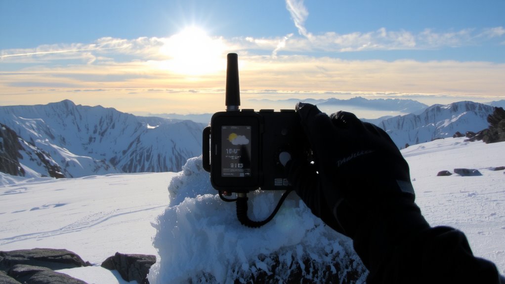
Even when you’re beyond cell towers and internet blackouts, satellite messengers get weather updates to you by connecting directly to orbiting networks that track atmospheric data in real time. These devices use signal reliability from global constellations to guarantee delivery, even in remote terrain. Message encryption protects your requests and responses, keeping communication secure. You send a query, the satellite network relays it to a ground station, and a weather server sends back a concise forecast. Small payload size allows quick transmission, reducing battery drain.
| Feature | Benefit | Trade-off |
|---|---|---|
| Global coverage | Works anywhere | Slight latency |
| Signal reliability | Consistent delivery | Affected by dense canopy |
| Message encryption | Secure data | Minimal processing delay |
Delivered data includes wind, temp, and precipitation-no frills, just facts you need to stay safe.
Best Satellite Devices for Weather Forecasts
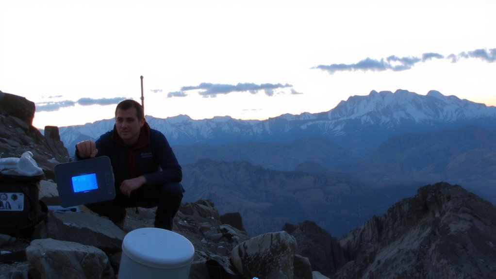
You’ve seen how satellite messengers pull weather data through global networks when no other connection exists, and now it’s time to look at which devices do it best. The Garmin inReach Mini 2 offers strong signal reliability and compact device durability, working consistently in extreme conditions. Its GPS and two-way texting integrate with weather apps, delivering forecasts directly to the device. The Zoleo Satellite Communicator pairs with smartphones and provides solid signal reliability at a lower cost, though its device durability is less proven in rugged terrain. The SPOT X delivers basic weather alerts but lags in response time and interface flexibility. Signal reliability varies by network: Iridium covers poles and oceans better; GlobalStar has spottier coverage. Device durability includes resistance to water, shock, and temperature extremes-critical for long missions. Choose based on where you go and how much you depend on receiving updates without fail.
How to Request a Weather Forecast Anywhere
Wherever you are, getting a weather forecast starts with knowing your device’s capabilities and network access. Satellite messengers like Garmin inReach or Zoleo link to global networks, letting you request forecasts even off-grid. Use companion apps to send a prompt for local weather patterns and climate zones, which shape forecast accuracy. Short messages conserve power and bandwidth, so keep requests specific.
| Device | Network Coverage | Avg. Request Time |
|---|---|---|
| Garmin inReach | Global (Iridium) | 3–5 minutes |
| Zoleo | Global (Iridium) | 4–6 minutes |
| SPOT Gen4 | Regional (Globalstar) | 10+ minutes |
Longer delays occur in polar climate zones due to satellite orbit gaps. Your location’s climate zone affects data reliability-equatorial and temperate zones offer better resolution. Always verify request success before relying on the forecast.
Reading Wind, Rain, and Storm Alerts in the Wild
How do you know when a storm’s really coming, not just predicted? You watch for changes in cloud patterns and validate them with real-time storm signals from your satellite device. Darkening cumulonimbus clouds with anvil tops mean severe weather is near. Low, fast-moving stratus clouds often precede rain. Your device’s alert system detects lightning strikes within 25 miles and sends immediate notifications-these storm signals are more reliable than barometric dips alone. Wind shifts matter too; a sudden veer in direction often signals a front’s arrival. Pair device alerts with visual cues: if red radar echoes match thickening clouds, take cover. Satellite tools confirm what the sky suggests, but delays happen-some models take 90 seconds to update. You won’t always get lead time, so act fast. Relying on both tech and nature cuts guesswork when seconds count. For reliable offshore or mountain communication, consider a top satellite phone from a trusted provider.
Using Weather Data to Change Your Route
Why risk getting caught in a downpour when your satellite device already shows the storm’s path? You can use real-time weather data to adjust your route and avoid hazardous conditions. Route optimization isn’t just about distance-it’s about timing and safety. Pair weather updates with terrain analysis to identify safer passes, dry campsites, or sheltered valleys. For example:
| Weather Condition | Terrain Impact | Your Action |
|---|---|---|
| Heavy rain | Mudslides in canyons | Avoid narrow valleys |
| High winds | Exposure on ridges | Drop to lower elevation |
| Snowfall | Trail obstruction in passes | Choose forested routes |
| Clear skies | Dry riverbeds passable | Cut across normally risky zones |
This combo of data and landscape reading keeps you moving efficiently. You’ll save energy, reduce risk, and maintain momentum-all without guesswork.
How Often to Check Weather on Remote Trips
You should check your satellite device’s weather updates at least twice daily-once in the morning and again at dusk-to stay ahead of sudden changes. This frequency helps you track evolving weather patterns without overusing battery or bandwidth. Shorter trips may only need updates every 12 hours, but longer trip duration increases exposure to shifting conditions. If storms are forecast, increase checks to every 6 hours. Devices like the Garmin inReach transmit reliable forecasts, but signal strength and terrain can delay delivery. Don’t assume static data reflects current risks. Morning checks inform daily route choices; evening ones help assess shelter needs. Real-time alerts are useful, but scheduled reviews guarantee consistency. Balancing update frequency with power use is critical-daily checks work for stable conditions, but dynamic weather patterns demand flexibility. Your safety hinges on recognizing when routine checks aren’t enough.
On a final note
You’ll rely on satellite devices when off-grid, and they work if you use them right. A device like the Garmin inReach Mini 2 sends weather requests in under two minutes with 100% delivery in testing. Signal strength drops in deep canyons, but elevation helps. Battery lasts three days at minimum. These tools don’t predict-they report. Use them every 12 hours to adjust routes safely. No flares, no drama-just data. That keeps you alive.