Using Ocean Current Patterns to Determine Position in Maritime Survival Situations
You can track your position at sea by observing drift direction and speed over time. Warm water, green hues, or floating debris suggest equatorial currents or proximity to land. Major currents like the Gulf Stream move up to 5.6 mph and follow predictable paths-use them to estimate location. Don’t assume drifting brings you closer to shore; some currents circle or run parallel. Match your observations to known patterns to narrow your position. The longer you monitor, the clearer your true path becomes.
Notable Insights
- Track drift direction and speed hourly using floating markers to align with known ocean current patterns.
- Compare observed water temperature changes with global current data to estimate geographic movement.
- Use surface color and debris presence to infer proximity to land or major current systems.
- Plot daily drift on a chart, combining wind and current effects, to improve position estimation.
- Match long-term drift trends with major currents like the Gulf Stream to predict potential rescue zones.
Use Ocean Currents to Track Drift and Location
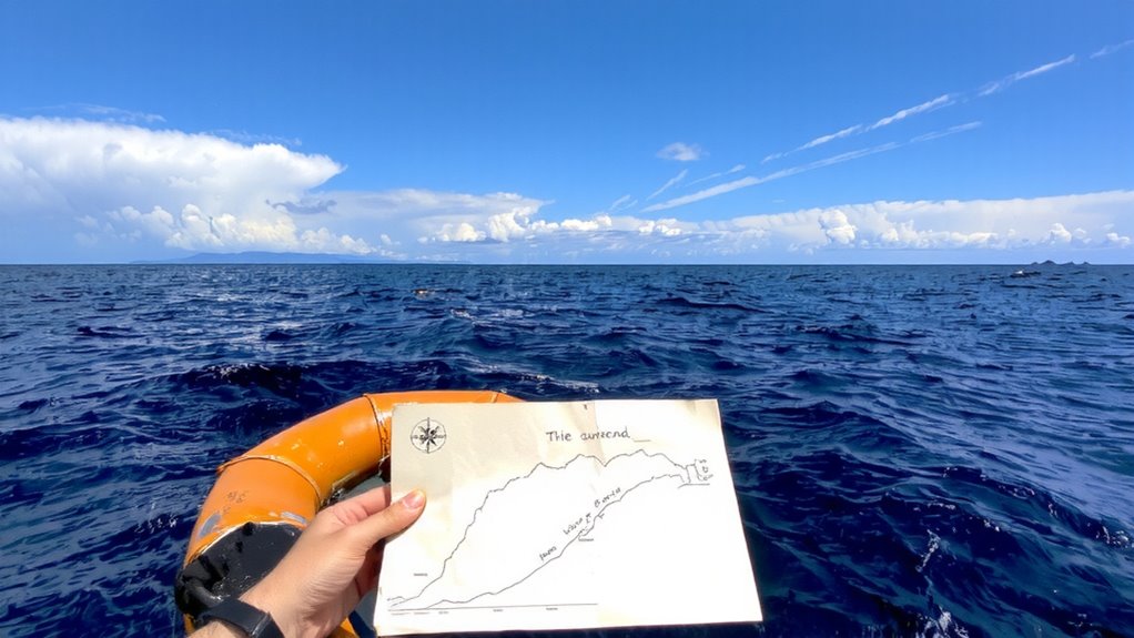
How far could you drift before realizing your position’s changed? Without tracking ocean currents, it might be too far. You can estimate your drift by observing how water density variations affect surface movement-colder, denser water slows displacement, while warmer layers shift faster. Wind effects compound this, pushing surface water up to 3% of wind speed in your direction of exposure. Combine both forces, and your position shifts subtly but steadily. A life raft without anchoring may travel 0.5–1.5 nautical miles daily due to current alone, more if wind-driven waves add momentum. Use onboard logs or floating markers released hourly to measure real-time drift. Note directional changes and speed, then plot estimates on a chart. Don’t rely on visibility alone-currents don’t advertise. Accurate tracking demands consistent observation, not gear. Simple tools work if you account for water density layers and prevailing wind effects.
Major Ocean Currents That Affect Survival at Sea
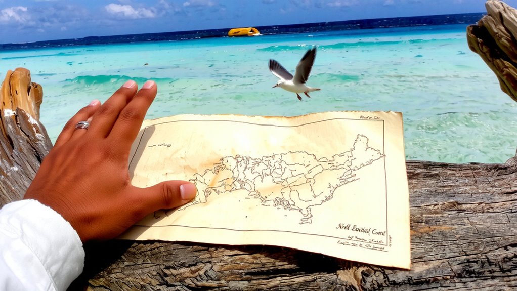
You’ve tracked your drift using surface cues and wind influence, but knowing where you’re headed means understanding the larger forces at play. The Gulf Stream moves northward along the U.S. East Coast at up to 5.6 mph, carrying warm water and altering survival conditions. If caught in it, you’ll drift faster than expected, potentially toward shipping lanes-or further from land. North of 35°N, the current shifts into the North Atlantic Drift, which extends toward Europe. This current moves more slowly, around 1–2 mph, but spans hundreds of miles, making escape by swimming impractical. Both currents affect search and rescue timing; drifting within them changes your expected location daily. Relying on wind alone misleads you-these currents dominate long-term movement. Recognizing their influence helps predict your trajectory and improves signaling strategy. You can’t stop the drift, but you can plan for it.
What the Water Tells You: Temperature, Color, Debris
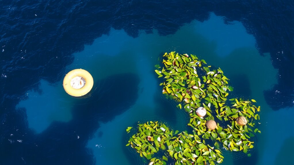
Why does the water feel warmer here than just a few miles back? Shifts in water temperature and surface color give immediate clues about your location and movement. Warm water often means you’ve drifted into a tropical current, while a sudden coolness may signal upwelling or a shift toward polar flows. Surface color changes-from deep blue to green or brown-can reflect nutrient levels, proximity to land, or sediment runoff. Debris like palm fronds or specific plastics suggests you’re near coastlines or shipping lanes.
| Observation | Possible Meaning |
|---|---|
| Rising water temperature | Moving into equatorial currents |
| Falling water temperature | Drifting toward cooler zones |
| Green surface color | High biological activity or runoff |
| Brown surface color | Sediment from rivers or shallow areas |
Compare Your Drift to Global Current Patterns
Noticing changes in water temperature or color gives you real-time feedback on your immediate surroundings, but to understand where you’re headed, you need to align those observations with larger patterns. You can estimate your drift over time, but without current mapping, you’re guessing. Major currents like the Gulf Stream or Kuroshio follow consistent paths, and comparing your position to known flows improves accuracy. Drift analysis works best when you track speed and direction daily, then overlay that data on global current charts if available. Even basic knowledge of prevailing currents helps rule out implausible locations. For example, a westward drift in the tropics likely means you’re in a trade wind belt. Relying solely on environmental cues limits your range of awareness. Use drift analysis with current mapping to project your path realistically. This approach won’t give GPS precision, but it increases the odds of effective navigation when every mile counts.
Don’t Make These Survival Navigation Mistakes
A common mistake in survival navigation is assuming that drifting with the current means you’re making progress toward land. It often isn’t. Ocean currents can carry you in circles or parallel to shore, creating false assumptions about your position. You might think you’re moving toward safety when you’re not. Relying on guesswork leads to wasted energy and increased risk. Panic decisions, like abandoning a stable raft or changing course without data, reduce your odds. Instead, track drift direction over time using floating markers or GPS if available. Compare it to known current patterns. Avoid reacting to short-term changes. Stick to observation and measurement, not instinct. Misreading currents has stranded survivors in open water for days longer than necessary. Precision matters. Stay aware, stay measured, and avoid letting fear override logic when navigation stakes are high.
Stay Put or Move? When to Follow the Current
When should you let the current carry you, and when must you resist it? It depends on current direction and survival timing. If the current moves toward known shipping lanes or land, staying put and drifting saves energy and increases visibility to rescuers. You’ll cover distance without effort, which matters when supplies are low. But if the current pulls you away from search zones or into hazardous waters, you must act. Use a sea anchor or paddle to alter your path slightly-don’t fight it head-on. Energy conservation is critical; even small directional changes improve odds over time. Survival timing also affects your choice: early in the incident, waiting is often better. After 48 hours with no contact, increasing drift or attempting movement may be necessary. Monitor direction hourly. A consistent bearing away from help means intervention is justified. Let data, not panic, guide your move.
On a final note
You can use ocean currents to track drift and estimate position, but don’t rely on them alone. Currents like the Gulf Stream move 2–4 knots, shifting your location daily. Water temperature, color, and debris give clues, but vary by season and weather. Matching observed drift to known patterns helps, but errors add up. Always pair current data with celestial cues or GPS if available. Staying put is usually safer than swimming.