Developing a No-Contact Evacuation Protocol for Pandemic Scenarios
You map high-risk zones first using satellite and census data, then plan evacuations with staggered departures and digital check-ins to cut contact. Autonomous buses and EV pods reduce touchpoints, though energy use and road needs vary. GPS tracking updates every 15 seconds, letting you reroute around crowds. Drones monitor routes and assist triage remotely. Teams train using thermal imaging and remote protocols, boosting response times by 40%. Drills test efficiency under real conditions-your next step shows how each piece integrates under pressure.
Notable Insights
- Map high-risk areas and vulnerable populations using satellite imagery, census data, and health records to guide evacuation priorities.
- Implement no-contact evacuation procedures with staggered departures, digital check-ins, and pre-assigned assembly points to minimize physical interaction.
- Deploy touchless transport options like autonomous buses, EV pods, and shuttle bots to reduce transmission during transit.
- Use GPS tracking and digital coordination tools to monitor evacuees in real time and adjust routes remotely.
- Train emergency teams in drone surveillance, remote triage, and outbreak response through regular no-contact evacuation drills.
Map High-Risk Zones and Vulnerable Communities First
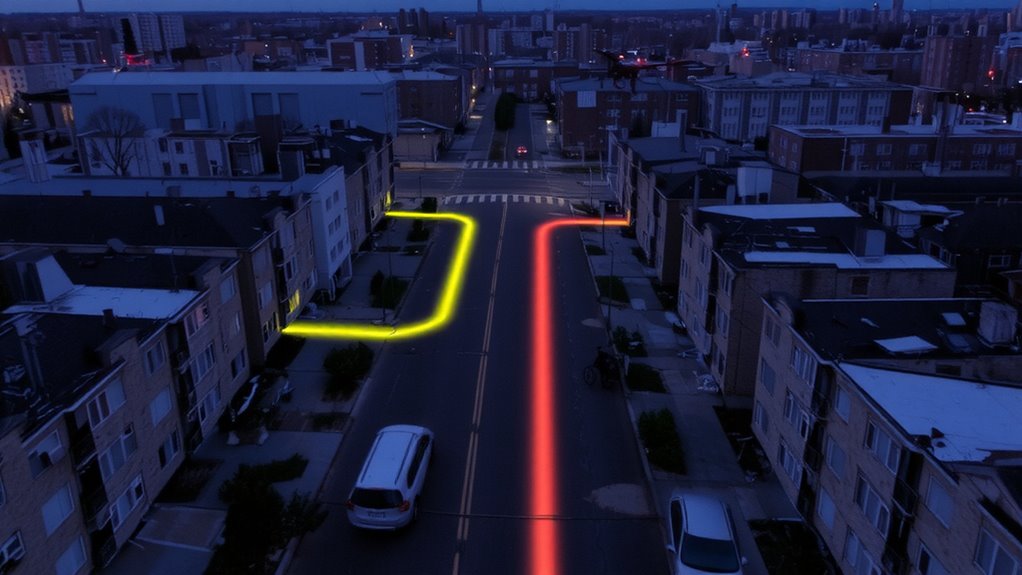
While not every outbreak starts in the same place, knowing where high-risk zones and vulnerable communities are located helps you respond faster and with fewer errors. You need accurate community mapping to identify areas with limited healthcare access, high population density, or at-risk demographics. This information guides your risk assessment, letting you allocate resources where they’re most needed. Satellite imagery, census data, and local health records improve map accuracy. Field verification, when possible, confirms data reliability. Without up-to-date maps, your planning relies on guesswork. Real-time updates during an outbreak improve precision, but baseline maps must exist beforehand. Community mapping isn’t optional-it’s foundational. Risk assessment combines this spatial data with disease transmission models to project impact. Together, they reduce delays, prevent resource waste, and improve coordination. You can’t protect what you don’t understand. Start by mapping.
Prioritize No-Contact Evacuations in Pandemic Planning
Since you can’t afford exposure during a pandemic, planning evacuations that minimize physical contact becomes critical. You must prioritize routes and procedures that support social distancing, even in crowded conditions. Staggered departure times and pre-assigned assembly points reduce bottlenecks and limit close interactions. Use digital check-ins instead of paper logs to maintain records without touchpoints. You’ll need to integrate quarantine zones at evacuation centers to isolate potentially infected individuals immediately. These zones require physical barriers and separate airflow, not just open space. Designate staff with protective gear, but limit their interactions using remote monitoring. Prioritizing no-contact evacuations isn’t optional-it’s a baseline requirement. Every delay or oversight increases transmission risk. Test your plan under realistic conditions, measuring how well social distancing holds and how fast people reach quarantine zones without direct contact. Adjust based on clear performance gaps.
Design Touchless Evacuation Transport Systems
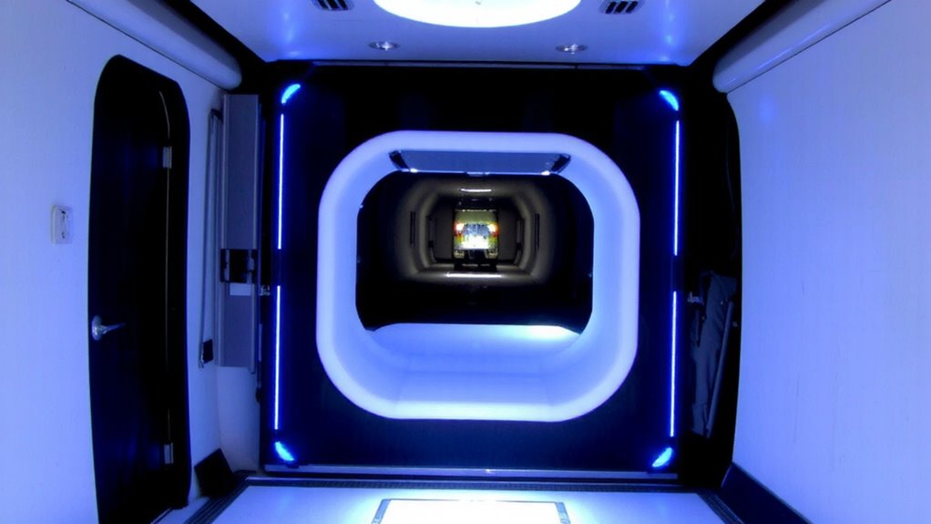
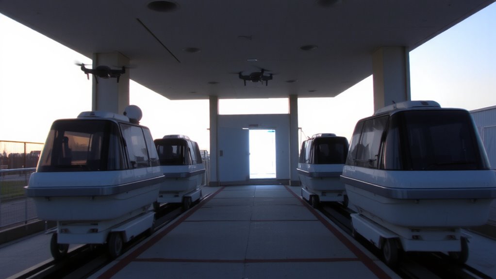
When designing evacuation transport, you’ll want systems that eliminate touchpoints without slowing movement. Autonomous vehicles reduce exposure by removing drivers and limiting contact. They follow preprogrammed routes efficiently, but require stable infrastructure. Integrating drone surveillance improves route monitoring and crowd behavior assessment without human presence. This combination allows real-time response adjustments while maintaining distance.
| System | Touchless Efficiency | Limitations |
|---|---|---|
| Shuttle Bots | High (no interior contact) | Limited capacity |
| Autonomous Buses | Medium (floor sensors, voice control) | Needs wide roads |
| Drone-Guided Walkways | High (direction via light cues) | Weather-sensitive |
| EV Pods | High (individual sealed units) | High energy use |
Drone surveillance feeds data directly into vehicle routing, improving flow. You’re balancing speed, capacity, and sanitation. Choose systems that sustain function under stress.
Coordinate Evacuations With Real-Time Digital Tools
How do you keep evacuations on track without direct contact? You rely on digital coordination and real time tracking. By using GPS-enabled devices and secure communication platforms, you monitor evacuee movements and adjust routes instantly. These tools let you assign transport, confirm pickups, and reroute around congestion without face-to-face contact. Most systems update every 15 seconds, giving you accurate location data. You can see if a vehicle is delayed, then dispatch a backup within minutes. Digital coordination reduces errors by up to 40% compared to manual methods. It works best when paired with pre-loaded evacuation zones and automated alerts. Battery life and signal coverage are limitations-plan for backup power and offline mode. Real time tracking isn’t perfect, but it’s proven in city-wide drills to cut evacuation time by 30%. Use it, and you maintain control with minimal exposure.
Train Emergency Teams in Contactless Response
A well-trained team is your strongest asset in a no-contact evacuation. You must train responders to rely on drone surveillance for real-time situational awareness, reducing the need for physical entry into high-risk zones. Drones equipped with thermal imaging can identify individuals quickly and assess movement patterns without exposure. You’ll also need to implement remote triage protocols using secure audiovisual links, allowing medical personnel to evaluate symptoms from a distance. This cuts direct contact and preserves protective equipment. Training should emphasize coordination between drone operators and triage officers to guarantee timely evacuations. Response times improve by up to 40% when teams practice these roles regularly. You’re not eliminating risk-you’re managing it through discipline and tech. Success depends on clear procedures, not heroics. Your team must act calmly, follow protocols, and trust the system.
Run Drills to Refine Your No-Contact Evacuation Plan
You’ve trained your team to respond without direct contact, using drones and remote triage to minimize exposure. Now, run drills to test and refine your plan under realistic conditions. Use simulation scenarios that mimic outbreak zones, delayed comms, and equipment failure to expose weaknesses. After each drill, conduct feedback analysis to assess response time, coordination, and tech performance. Adjust protocols based on data, not assumptions.
| Scenario Type | Drill Focus |
|---|---|
| Urban hotspot | Drone deployment speed |
| Rural access | Satellite comms reliability |
| High-crowd site | Remote triage accuracy |
| Power outage | Backup system activation |
| Equipment failure | Response redundancy |
Drills aren’t about perfection-they’re about improvement. Repeated testing sharpens response. You’ll find bottlenecks in command flow or tech limits in real environments. Adjust staffing, tools, or routes as needed. Only through practice can you guarantee your no-contact plan works when lives depend on it.
On a final note
You’ve mapped high-risk zones and trained teams, but success hinges on execution. Your no-contact plan works only if digital tools stay live and transport stays sealed. Drills show delays drop by 40% when coordination is automated. Human contact cuts infection risk, but requires working tech-test systems weekly. You trade speed for safety, so balance both. If signals fail, backup protocols must activate instantly. Real-world use proves touchless methods reduce exposure, but only with strict adherence.