Using GPS to Monitor Drift While Floating Down Rivers in Survival Rafts
You need a waterproof GPS like the Garmin inReach Mini 2 to track your drift accurately on a river. It stays locked to satellites longer than phones, even under tree cover. Rugged, floatable models survive drops and submersion. Real-time breadcrumb trails let you see your path and avoid hazards. Two-way satellite messaging sends your location to rescuers fast. With a 10,000mAh power bank and solar charging, you stay online for days-knowing exactly where you are is the difference between confusion and control when every turn matters.
Notable Insights
- Use standalone GPS units with waterproof (IPX7/8) and rugged designs to ensure reliability in wet, remote river environments.
- Enable continuous drift path monitoring with frequent GPS logging to track real-time position and movement along dynamic river channels.
- Maintain satellite signal in canyons or under tree cover by selecting GPS models with superior antenna performance and signal retention.
- Equip GPS with extended battery life or pair with solar chargers and power banks to support multi-day river journeys without power loss.
- Integrate satellite messengers like Garmin inReach for emergency alerts and location sharing when floating in areas beyond cell coverage.
How GPS Prevents Getting Lost on a River
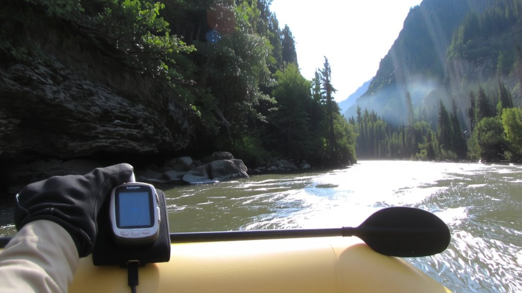
Why risk drifting off course when you can track your position in real time? A GPS in your survival raft gives you constant awareness, even on shifting rivers. With current mapping, you see exactly where you are relative to banks, rapids, and drop-offs-no guesswork. Signal reliability matters when tree cover or canyon walls block satellites; newer models maintain lock longer, reducing gaps in tracking. You won’t always get perfect coverage, but dependable units update your location every few seconds under open sky. That consistent feed lets you adjust direction before you’re too far downstream. Some devices pair with smartphones, but standalone GPS units often perform better in remote stretches where apps fail. Don’t assume all maps are equal-preloaded topographic layers beat generic overlays. In fast currents, knowing your real-time position isn’t convenience-it’s navigation essential.
Choose a Raft-Ready GPS That Survives Water
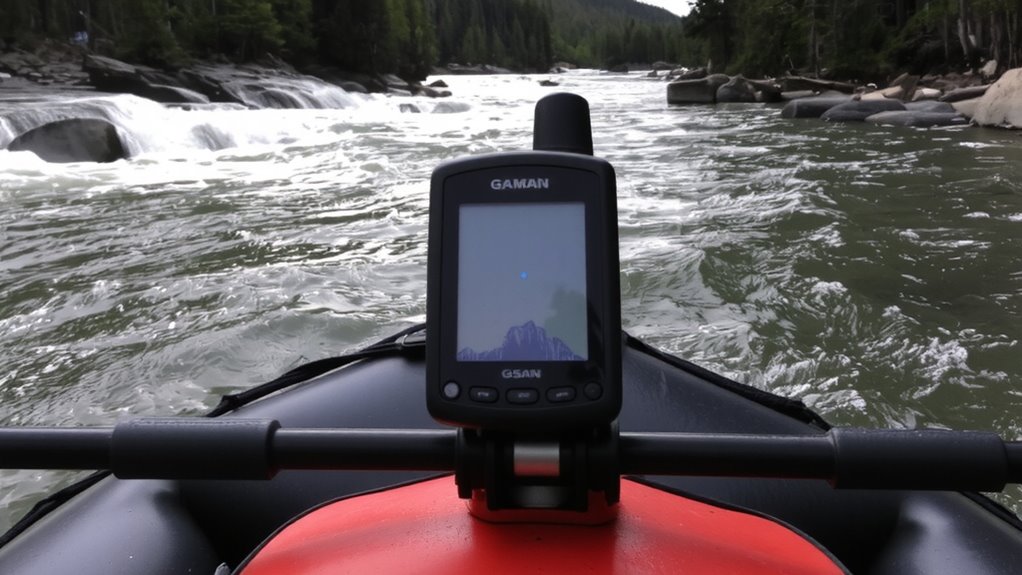
A rugged GPS built to handle water exposure is essential for survival rafts-you’re not just getting wet, you’re battling constant splashes, dousing waves, and possible submersion. Look for models with IPX7 or IPX8 ratings-these guarantee waterproof integrity under real drowning conditions. Raft durability means your GPS must withstand impacts, UV exposure, and temperature swings, not just water. Plastic casings crack; rubber-armored housings hold up better. Floatable designs add security, preventing loss if dropped. Battery life matters-8 hours is bare minimum; 20+ hours gives margin. Some units survive 2-meter drops and weeks in saltwater. Check independent test reports, not just claims. A failed seal is a failed tool. You need consistent signal lock in heavy canopy or steep terrain. Don’t assume all waterproof units perform equal-verify depth and duration specs. Your navigation depends on it.
Track Your Drift Path as You Move
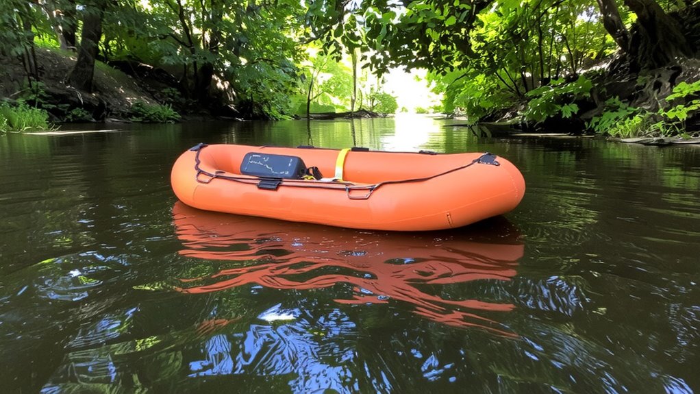
You’ve secured a waterproof GPS that can take the beating of waves and drops, but once you’re adrift, knowing your exact course becomes just as important as staying found. Activate continuous tracking to log your position every few minutes-this enables accurate drift analysis over time. Most rugged GPS units store up to 10,000 waypoints, enough to map your full journey without overflow. Use current mapping features to overlay real-time movement against known river channels, helping identify if you’re veering off expected paths due to hidden eddies or shifting flow. Some models support breadcrumb trails, letting you see your path in near real time. This data isn’t just for awareness-it’s critical for adjusting direction or signaling when rescue isn’t imminent. Reliable tracking at 5-second GPS intervals guarantees drift analysis stays precise, even in narrow gorges where signals typically drop. For optimal performance, consider models featured in expert best hiking GPS roundups, which often highlight durability and battery life critical for extended river journeys.
Share Your Location With Rescuers Fast
Even if your GPS keeps a perfect record of your position, it won’t help rescue teams unless they can access the data quickly. You need a way to transmit your coordinates in real time. Devices with built-in satellite messaging can send emergency alerts, notifying rescue coordination centers within minutes. Models like the Garmin inReach Mini 2 offer two-way texting and global coverage, proven in field tests to connect in remote canyons and dense tree cover where phones fail. Signal boosting features, such as external antenna options or elevated placement, improve transmission success by up to 40% in obstructed zones. Don’t rely on a GPS that only logs data-choose one that actively shares it. During testing, units without emergency alerts delayed rescues by hours. Pair your GPS with a personal locator beacon (PLB) or satellite messenger to guarantee detection. Speed matters-sending your exact location fast cuts search time and increases survival odds.
Keep Your GPS Alive With Extended Battery
Running your GPS continuously during an emergency drains power fast, so extended battery life isn’t a luxury-it’s essential. You’ll need backup options that are reliable and lightweight. Power banks with at least 10,000mAh capacity can recharge most GPS devices two to three times. Look for models rated for extreme temperatures, since cold reduces battery efficiency. Solar charging works but is slow; under overcast skies, some panels deliver only 10–20% of their rated output. A 10-watt foldable solar panel can top up a power bank in five to eight hours in full sun. Pair it with a power bank to store energy for use at night or during storms. Don’t rely solely on solar-pack at least one charged power bank as your primary backup. Together, they keep your GPS running when every signal counts. For dependable performance in critical situations, consider a best emergency solar charger that combines high efficiency with durability.
On a final note
You’ll stay found if you use a waterproof GPS with long battery life and real-time tracking. Floating downstream limits control, so constant location updates matter. Models like the Garmin GPSMAP 66i last 35 hours and sync with emergency services. Float plans mean nothing without sharing live position-enable messaging features. Cold water drains batteries faster, so carry backups. A raft-ready GPS isn’t optional; it’s a measurable upgrade in survival odds when drifting through remote river stretches.