How to Use Digital Mapping to Locate Historical Survival Shelters
Start with USGS and military topo maps at 1:24,000 scale-they show old shelters and roads missing in GPS apps. Use Google Earth to spot straight access routes or soil discolorations that suggest buried bunkers, especially at low sun angles. Pull declassified military maps from the National Archives or CREST for structural details. Cross-reference with Cold War shelter databases for capacity and equipment specs. Check terrain for flat spots or sharp elevation breaks. Local historical societies can confirm access and condition. There’s more to uncover with the right tools.
Notable Insights
- Use old USGS topographic maps to identify forgotten structures like homesteads and sheds not shown on modern GPS apps.
- Analyze Google Earth imagery for unnatural patterns, soil discolorations, and shadows revealing hidden bunker entrances.
- Access declassified military maps from the National Archives and CREST database for exact Cold War shelter layouts.
- Search digitized fallout shelter databases for official sites with capacity, specs, and historical radiation data.
- Cross-reference aerial findings with terrain clues and local historical records to verify shelter locations and access.
Start With Old Maps That Show Forgotten Shelters
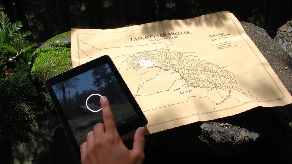
Old maps-especially topographic and land survey versions from the mid-20th century-often mark structures that don’t appear on modern digital platforms. You’ll find abandoned homesteads, forgotten waystations, and old storage sheds clearly labeled where current apps show only blank terrain. These sites were functional, built for access or survival, and many remain usable if you verify condition in person. Paper maps from the USGS or military surveys list elevation, building outlines, and road grades-data GPS apps often omit. Digital reproductions are available through library archives or geospatial databases, letting you overlay old grids on current terrain. Relying solely on modern tools risks missing shelters that existed before satellite mapping. The trade-off is effort: scanning old sheets takes time, but the payoff is verified locations with structural remains. Start with 1:24,000 scale maps-they balance detail and coverage. Cross-reference with land ownership records to avoid trespassing. Exploring these historical sites aligns well with insights from the best survival maps, as detailed in guides on best survival maps.
Use Google Earth to Spot Hidden Survival Bunkers
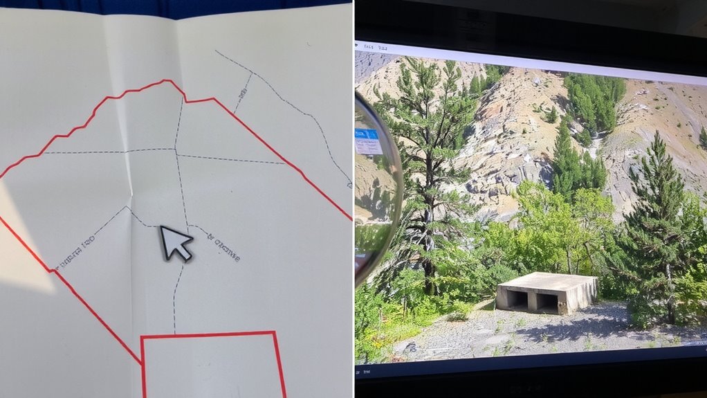
Why rely on guesswork when you can scan the terrain from your screen? Google Earth lets you inspect remote areas without leaving home. You’ll want to look for unnatural aerial patterns-rectangular depressions, straight access roads, or soil discolorations-that suggest buried structures. Many hidden survival bunkers alter the landscape slightly, and these features stand out clearly in high-resolution satellite views. Use shadow analysis to confirm your findings; shadows cast at low sun angles reveal subtle elevation changes. A long shadow stretching from a flat area might indicate a camouflaged roof just below the surface. Zoom in during morning or late afternoon for best results. While not every anomaly is a bunker, combining aerial patterns with shadow analysis improves accuracy. It’s a practical first step before investing time in on-site exploration. You won’t find every shelter, but you’ll narrow the search efficiently.
Find Declassified Military Bunker Maps Online
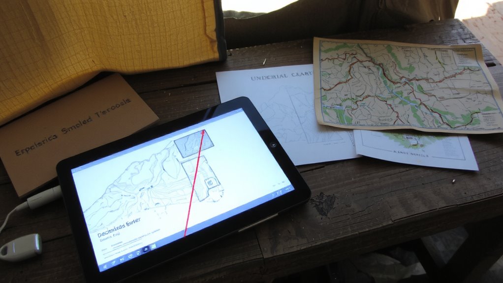
You’ve scanned the terrain using Google Earth and spotted a few promising sites, but satellite images can only tell you so much. That’s where declassified military bunker maps come in. These documents reveal precise layouts and access points to secret locations once kept off public records. Most are now accessible through declassified archives like the National Archives, CIA’s CREST database, or FOIA-approved military collections. These maps often include elevation, structural specs, and entry routes-critical for evaluating viability.
| Source | Coverage | Access Method |
|---|---|---|
| National Archives | U.S. military installations | Online portal, free |
| CREST | Global Cold War sites | Public FOIA, indexed |
| Defense Visual Imagery | Regional defense complexes | Request-based, partial online |
Use them to verify what satellite data can’t show. Always cross-reference with ground-level intel.
Check Cold War Fallout Shelter Databases
Where did governments stash their emergency shelters during the Cold War? You’ll find answers in declassified fallout shelter databases, many now digitized and searchable. These records list designated shelters, often in basements of public buildings, with data on shelter occupancy and intended use. Some databases include structural specs, ventilation capacity, and storage provisions. A few even archive historical radiation readings to indicate likely contamination zones or shelter safety margins. While occupancy figures tell you planned capacity, they don’t confirm structural integrity today. Cross-reference database entries with current maps to verify accessibility. Not all shelters were maintained, so assume conditions vary. Radiation readings from the era help assess residual risks, but modern testing is wise if exploring in person. Use these databases as starting points-not guarantees. They offer measurable leads, but real-world verification is essential.
Spot Covert Shelters Using Terrain Clues
A shelter’s location often leaves subtle hints in the land itself. You can spot covert shelters by studying natural features and elevation patterns on digital maps. Look for unnatural dips or mounds-these could indicate buried structures. Terrain that flattens abruptly on a slope often hides something underneath. Use topographic layers to identify anomalies where elevation changes don’t match the surrounding area. Pay attention to drainage paths; shelters are rarely placed where water accumulates. Here’s what to check:
| Clue | What It Suggests |
|---|---|
| Flat spots on slopes | Possible camouflaged entrances |
| Sharp elevation breaks | Structural boundaries |
| Proximity to natural features | Concealment using terrain |
| Uniform shape in uneven terrain | Man-made foundation |
These patterns won’t guarantee a find, but they narrow your search.
Verify Sites With Local Historical Societies
Why trust maps alone when people might already know what’s there? Local historical societies often have insights no digital tool can match. You’ll find confirmed details in local archives, where volunteers keep decades of regional knowledge. These groups maintain historical records that verify if a structure was a survival shelter or just an old root cellar. Contacting them takes little time and can save you hours chasing false leads. They might share documents, photos, or firsthand accounts you won’t find online. Cross-referencing your map findings with their records increases accuracy. Relying only on satellite images or terrain analysis risks misidentification. But combining digital tools with verified local knowledge reduces error. Always check with the society before heading into the field. It’s a practical step that strengthens your search without added cost or gear.
On a final note
You’ve mapped old records, scoured satellite views, and checked declassified files. Now verify findings through local historical societies to confirm access and condition. Digital tools narrow searches, but on-the-ground validation matters most. Terrain clues and archival data help locate shelters, yet not all are intact or safe. Weigh structural stability, entry risk, and legal access before relying on any site. These shelters may offer value, but only verified ones are worth depending on.