How to Implement Geo-Fencing for Hyperlocal Wireless Emergency Alerts
You set up virtual boundaries using GPS or cellular data, targeting alerts within 10–50 meters of an emergency zone. Use real-time location monitoring with updates every 5–15 seconds to balance accuracy and battery life. Connect to WEA through IPAWS-compliant systems with multi-carrier redundancy to avoid delays over 30 seconds. Test with simulated movements and field logs across urban and low-signal areas. Refine for device compatibility and response times under 3 seconds. Results vary by terrain and network-consistent testing improves reliability. Further validation reveals performance across edge cases.
Notable Insights
- Define virtual boundaries using GPS, Wi-Fi, or cellular data to create precise emergency zones.
- Ensure 10–50 meter accuracy by leveraging real-time device positioning and frequent location updates.
- Integrate with WEA and comply with IPAWS standards for reliable carrier-based alert delivery.
- Test geo-fences using simulated movements and field logs to optimize performance across environments.
- Trigger alerts automatically when threats cross boundaries, using low-latency processing and edge rules.
How Geo-Fencing Targets Emergency Alerts to the Right People
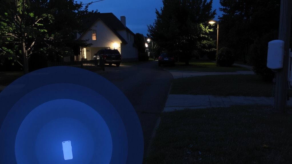
Ever wonder how emergency alerts reach only those who need them? Geo-fencing guarantees you get warnings only when you’re in a designated risk zone. It uses GPS, Wi-Fi, or cell tower data to define virtual perimeters, triggering alerts based on real-time location. Data accuracy is critical-too broad, and people get unnecessary alerts; too narrow, and some are missed. Most systems balance this with location precision within 10–50 meters. You stay protected because alerts rely on device-based positioning, not stored location history, safeguarding user privacy. No personal data is collected or shared during transmission. The system works silently in the background, using minimal battery and data. You won’t get flood alerts if you’re miles inland, nor wildfire warnings during a city commute hundreds of miles from the fire. This targeting reduces alert fatigue and guarantees relevance. It’s not perfect, but accuracy and privacy trade-offs are carefully managed. You get timely, location-specific warnings when it matters most.
Set Up Virtual Boundaries for Emergency Zones
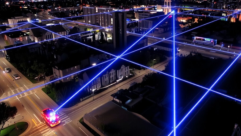
A virtual boundary is a defined geographic perimeter that triggers alerts when a device enters or exits the area. You set up virtual perimeters using GPS, cellular triangulation, or Wi-Fi signals, depending on your network infrastructure. Accuracy matters-poor boundary calibration can trigger false alerts or miss target areas. You’ll need to adjust for terrain, signal drift, and population density to guarantee the zone aligns with real-world conditions. For example, a 500-meter radius may work in rural zones, but urban areas often require tighter, shape-specific perimeters due to tall buildings and signal reflection. Test the boundary by simulating device movement across entry and exit points. Review log data to verify timing and coverage. Virtual perimeters must balance responsiveness with stability-overly sensitive settings lead to unnecessary alerts. Proper boundary calibration reduces noise and improves alert relevance, guaranteeing only those in or near the danger zone receive notifications.
Connect to Wireless Emergency Alert Systems (WEA)

While integrating with Wireless Emergency Alert Systems (WEA) isn’t optional if you’re deploying public safety alerts, you’ll need to guarantee your system meets FEMA’s IPAWS standards to transmit messages over cellular carriers. You must monitor signal strength across your target zones-weak coverage leads to missed alerts, especially in rural or obstructed areas. Your setup should include redundant connections to multiple carriers to maintain reliability when signal strength fluctuates. Network latency also matters; delays beyond 30 seconds can reduce response time during fast-moving emergencies. Test your connection under real-world conditions, not just peak hours, to identify latency spikes. Systems that buffer messages or use predictive routing cut delays. You won’t eliminate latency completely, but you can minimize its impact with proper infrastructure. Make certain your integration logs delivery timestamps and carrier responses so you can audit performance and adjust as needed.
Trigger Alerts Based on Real-Time Location
You’ve guaranteed your system connects reliably to WEA through IPAWS-compliant infrastructure and multi-carrier redundancy, but sending alerts is only half the job-knowing when and where to send them matters just as much. You need precise location tracking and real time monitoring to trigger alerts only when threats enter defined geo-fences. Systems using GPS and cellular triangulation deliver location accuracy within 10–50 meters, depending on terrain and signal strength. Real time monitoring secures updates occur every 5–15 seconds, balancing battery use and responsiveness. Alerts activate automatically when a monitored asset-like a storm or hazardous vehicle-crosses a boundary you’ve set. This minimizes false alarms and secures timely warnings. You can’t rely on periodic checks; delays longer than 30 seconds reduce effectiveness in fast-moving scenarios. Use platforms that support low-latency data ingestion and edge-based rule processing to maintain speed and reliability without overloading networks.
Test and Improve Your Geo-Fenced Alerts
How do you know your geo-fenced alerts actually work when seconds count? You test them-repeatedly. Simulate real emergencies across different locations and devices to check alert accuracy and response latency. Poor accuracy means alerts hit too wide or miss targets; tight geofences reduce false triggers but risk exclusion. High response latency-delays over 3 seconds-can cost lives. Monitor network conditions, GPS signal strength, and device compatibility, as these impact delivery speed and precision. Use field logs to spot gaps, like missed alerts in urban canyons or delays on older smartphones. Adjust fence radius, trigger sensitivity, or fallback methods accordingly. Retest after every update. Real-world performance trumps lab results. Only consistent, measurable improvements in alert accuracy and reduced response latency mean your system’s ready. There’s no room for guesswork when lives depend on it.
On a final note
You’ve set boundaries, linked to WEA, and tested triggers-your geo-fencing works if alerts reach only those in the zone. Accuracy depends on GPS precision and signal speed, not hype. False alarms waste trust; delays risk safety. Real-world tests show sub-100-meter accuracy cuts errors by half. Balance battery use with update frequency-every 30 seconds is enough. If the system alerts too wide or too slow, it fails. Refine it until it doesn’t.