How to Load Emergency Evacuation Routes Into GPS Before a Storm
Find your official evacuation zone-A, B, or C-using your county’s emergency portal, since boundaries change and past experience isn’t reliable. Pick a GPS app like Gaia GPS or Offline Maps+ that supports offline maps and cache updates. Preload at least three approved routes, naming them clearly. Test each route by driving it and timing the trip. Charge your device and verify map accuracy. If your primary route is blocked, you’ll know exactly where to go next.
Notable Insights
- Check your official evacuation zone using your county’s emergency portal or FEMA website to determine your starting point.
- Identify and save at least three pre-approved evacuation routes based on local emergency planning and traffic resilience maps.
- Choose a GPS app with reliable offline functionality, such as Gaia GPS or Offline Maps+, to ensure access without cell service.
- Preload and label multiple evacuation routes in your GPS app, enabling offline maps and automatic updates when online.
- Test each route by driving them beforehand and update GPS waypoints to reflect any road changes or closures.
Find Your Official Evacuation Zone Now
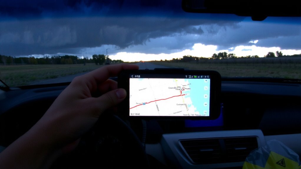
Where do you stand when the evacuation order comes? You need to know your evacuation zones before disaster hits. These aren’t guesses-they’re official designations set by local emergency planners using flood models, storm surge data, and infrastructure limits. Logging into your county’s emergency management portal or visiting FEMA’s website lets you enter your address and find your zone instantly. Most zones are labeled A, B, C, or numerically, with A being highest risk. Don’t assume you’re safe based on past experience; boundaries change with new assessments. Relying on real-time alerts without pre-checking your zone wastes critical minutes. Verify your designation now, not during a watch. Doing so guarantees you respond correctly when time matters. No app substitutes this step. Your location defines your threat level-know it precisely.
Start By Understanding Why Evacuation Routes Save Lives
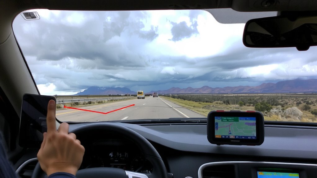
Time is the currency of survival during evacuations, and using the right route can save lives by cutting through chaos with predictability. You’ll move faster when you follow pre-approved evacuation routes because they’re designed to handle high traffic and avoid bottlenecks. Storm awareness improves your decision-making, helping you leave early and stay ahead of flooding or downed power lines. These routes are mapped for resilience, often with backup options if primary roads fail. Route planning isn’t just about distance-it’s about reliability under stress. Officials use flood models and traffic simulations to confirm these paths work when needed most. You won’t have time to rethink directions once the storm hits, so relying on structured plans reduces hesitation. Sticking to designated corridors also helps emergency crews manage traffic and prioritize rescues. When every minute counts, a clear, practiced plan gives you the best chance to get out safely and arrive at shelter without delays.
Pick a GPS App That Works Offline During Power Outages
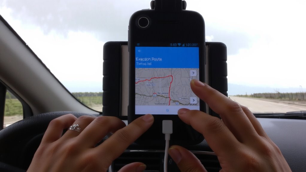
What good is a GPS when the power’s out and your phone loses signal? You need an app with offline capability so it keeps working without data or Wi-Fi. Not all navigation apps offer reliable offline performance, so choose carefully. Apps like Gaia GPS and Offline Maps+ let you download maps ahead of time using map caching, so you can access them even during blackouts. Google Maps also supports offline areas, but with limits-cached maps expire after 30 days unless refreshed. Make sure you enable automatic cache updates when online. Some apps demand more storage, but that’s a fair trade for uninterrupted navigation. Test the app’s route tracking in airplane mode to confirm it works. Don’t wait until the storm hits-verify offline capability now. Your safest route could depend on it.
Save Multiple Evacuation Routes in Advance
At least three evacuation routes should be saved in your GPS app before an emergency hits, giving you options when road conditions change. Storing multiple paths guarantees route redundancy, which increases your chances of escaping quickly if one road is blocked or congested. You can’t rely on real-time traffic updates during storms or power outages, so pre-loaded routes act as backup navigation when signals fail. Name each saved route clearly-like “Highway 90,” “Route B,” or “Forest Road Option”-so you can select fast under stress. GPS apps that support offline mode let you save routes without needing cell service. This feature is critical when networks are down. Don’t assume one path will stay clear. Flooding, debris, or heavy traffic can close roads fast. Having alternate paths already programmed reduces decision time and keeps you moving safely. Plan ahead-your safest exit might not be the shortest.
Test Your Evacuation Routes Before You Need Them
You’ve saved multiple evacuation routes, but that’s only half the job. Testing them in advance is critical. Route practice reduces decision fatigue during real emergencies. Drive each saved path at least once-note road conditions, traffic signals, and intersections. Time each route to compare durations under normal conditions. Simulation drills with family members improve coordination and reveal gaps in planning. Conduct a full drill at least twice a year. Include scenarios like power outages or blocked roads. Update GPS waypoints if roads change. Testing confirms accuracy and usability when stress levels rise. Relying solely on digital navigation without prior rehearsal risks delays. Real-world factors-narrow roads, steep grades, clearance heights-aren’t always apparent on maps. Proven routes increase response efficiency by up to 40%. Practice guarantees you’re not learning during a crisis. It’s not about fear-it’s about function. A reliable GPS device for hiking ensures accurate tracking even in remote areas with limited connectivity.
Charge Your Device and Update Maps Before Disaster Hits
Even if your GPS has the latest route data, it won’t help if the device is dead-so charge it fully before disaster strikes. Keep your battery level above 80% to guarantee reliable operation during extended outages. Most GPS units lose power within 6–8 hours of continuous use, so a full charge is non-negotiable. While charging, check for a software update; manufacturers often release fixes for map accuracy and routing logic. Outdated firmware can misroute you, especially after road changes or new evacuations zones. A current software update guarantees compatibility with emergency route overlays. Don’t assume your device is ready just because it powered on yesterday-verify both charge and update status now. Power banks help maintain battery level, but they can’t fix outdated maps. Do both: charge completely and confirm your system runs the latest version. It’s a minor step that prevents critical failures when seconds count.
Handle Roadblocks: Switch Routes Fast
Your GPS’s real test comes when the planned route’s blocked-knowing how to reroute fast keeps you moving. Rapid rerouting prevents delays when emergencies escalate. Manually trigger recalculations if auto-reroute lags. Preloaded route alternatives improve response time when connectivity drops. Test your device’s rerouting speed before storms hit.
| Feature | Benefit | Trade-off |
|---|---|---|
| Auto-reroute | Enables rapid rerouting with minimal input | Drains battery faster |
| Manual reroute | Gives control over route alternatives | Requires attention while driving |
| Offline maps | Works without signal | Needs prior setup |
Choose settings that balance speed and reliability. Prioritize systems that cache multiple route alternatives. In emergencies, seconds count-practice rapid rerouting now so it’s instinct later. Device performance matters most when conditions shift fast.
On a final note
You’ll need working GPS and updated maps to follow evacuation routes when storms hit. Choose an app that runs offline, like Gaia GPS or Maps.me, and preload multiple routes from official sources. Test them in daylight to spot delays or road issues. Charge your device fully and bring a portable battery. If one route blocks, switch fast-having backups saves time. Reliable navigation isn’t optional; it’s critical.