How to Use GPS to Navigate Through Burned Forests With No Features
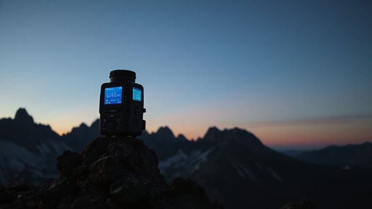
You’ll need a calibrated GPS with updated topo maps and WAAS or GLONASS for 3–5 meter accuracy, since burned forests lack landmarks. Mark trail junctions and burn edges as waypoints to stay on route. Use elevation and terrain matching to verify position, as GPS can drift 10–30 feet in flat, featureless areas. Always back it up with a map and compass-when batteries die or signals drop, they won’t fail you. A solid setup balances precision with reliability, and there’s more to optimizing it where every meter counts.
Notable Insights
- Calibrate GPS and compass away from metal, and load high-resolution topo maps for accurate navigation in featureless burned terrain.
- Mark waypoints at trail junctions and burn scar edges with descriptive names to maintain orientation when landmarks are absent.
- Verify your position by comparing GPS elevation and slope aspect to topo map contours, especially where terrain lacks features.
- Minimize GPS drift in burned zones by using high-sensitivity receivers and disabling battery-saving modes that reduce update frequency.
- Always carry a paper map and compass as backups, cross-checking GPS readings every 15–20 minutes to ensure reliability.
Calibrate GPS and Load Topo Maps
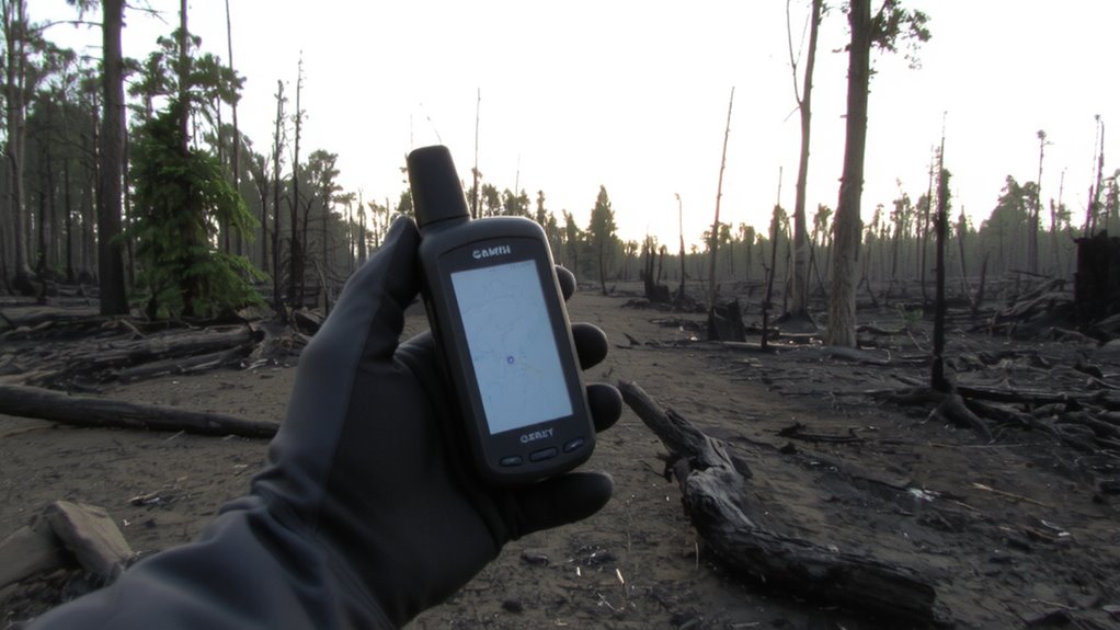
While your GPS might work fine in open terrain, burned forests demand extra setup to stay reliable. You need to calibrate the compass and set the correct declination before entering-uncalibrated units show errors up to 30 degrees, hurting gps accuracy. Do this on level ground away from metal debris common in burned areas. Load high-resolution topo maps onto the device or SD card; relying on default base maps limits detail. Topo maps help you identify subtle terrain changes when landmarks are gone. Tree loss increases signal interference risk due to debris and jagged terrain blocking satellite links. Reacquire satellites after long forest stretches to maintain signal lock. Use GPS systems with WAAS or GLONASS-tested models show 3–5 meter accuracy versus 10+ meters on basic units. Battery drain increases with frequent signal reacquisition, so carry spares or a solar charger rated for 5+ hours use. For optimal performance, choose one of the top GPS devices for hiking that combine rugged design with advanced satellite reception.
Mark Waypoints at Trail Junctions and Burn Scars
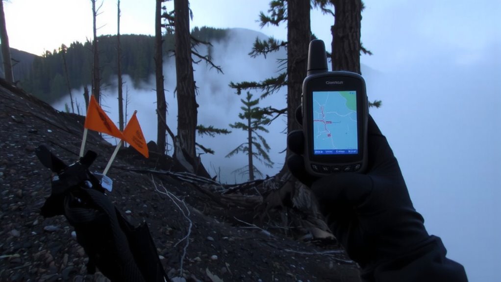
Why wait until you’re disoriented to start marking waypoints? Do it early and often. Waypoint marking at trail junctions gives you reliable recovery points when visibility drops. In burn scar navigation, these marks are critical-landmarks vanish, and terrain blends into ash-covered uniformity. Save each junction and distinct burn edge as a waypoint. Use clear, memorable names like “Jct_Main_South” or “BurnEdge_NW.” Review them periodically so you don’t drift off route.
| Feature | Benefit |
|---|---|
| Trail junction waypoints | Quick reorientation if lost |
| Burn scar edge markers | Reference points in featureless zones |
| Descriptive naming | Reduces confusion during stress |
Consistent waypoint marking cuts navigation errors. Burn scar navigation demands it. Your GPS is only as good as the points you trust.
Verify Position Using Elevation and Terrain
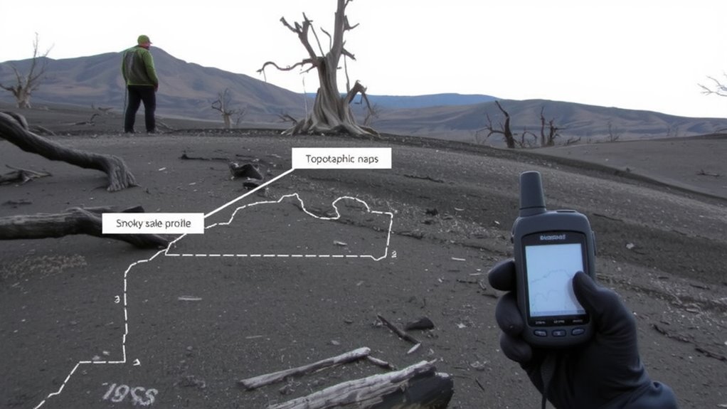
If you’re relying solely on GPS coordinates in a burned forest, you’re missing a key layer of certainty-elevation and terrain shape can confirm whether your device is showing the right spot. Use elevation tracking to compare your current altitude with known topographic data; a 100-foot discrepancy means you’re likely off course. Most handheld GPS units and smartphones support barometric altimeters, which update elevation more accurately than satellites alone. Combine this with terrain matching: check if the slope, ridgeline, or drainage pattern around you aligns with your map’s contour lines. Even in flat burn zones, subtle rises or gullies can verify position. Terrain matching works when landmarks are gone, as long as you cross-reference elevation tracking and slope aspect. This dual-check system reduces error without extra gear. It’s not perfect, but it’s measurable and repeatable in degraded environments. A reliable handheld GPS device can significantly improve navigation accuracy in featureless, burned landscapes.
Avoid GPS Drift in Featureless Burn Zones
When you’re moving through a burned forest with no trees or landmarks, GPS drift becomes a serious issue-signals can jump by 10 to 30 feet due to satellite geometry and poor signal multipath, and that adds up fast over long distances. You’ll want a GPS unit that updates at least every 5 seconds to catch deviations early. Look for models with high-sensitivity receivers; they reduce signal interference by locking onto weaker signals in open but reflective terrain. Avoid holding the device near metal or electronics, as that worsens drift. Enable battery optimization to maintain a longer runtime without sacrificing accuracy-some units cut update frequency to save power, so test yours beforehand. Drift is unavoidable, but logging your path at consistent intervals lets you spot jumps and correct course. Use trackback features cautiously, since they follow every wobble. A dedicated handheld GPS typically outperforms phones in stability and signal handling, especially in prolonged burn zones.
Rely on GPS When Landmarks Disappear
You’ve already taken steps to minimize GPS drift in open, burned landscapes, but once all visual references are gone-no trails, no trees, no ridgelines-your device becomes your only reliable guide. Signal interference from remaining debris or electromagnetic sources is rare but possible; maintain a clear view of the sky to guarantee consistent satellite lock. Modern GPS units typically achieve 3–5 meter accuracy under ideal conditions, and that holds even in burned zones if signal quality remains high. Battery conservation becomes critical since extended use in featureless terrain increases screen-on time. Units with adjustable brightness and sleep modes extend runtime-tested models last 15–20 hours on a single charge at 50% brightness. Relying solely on GPS means planning for these limits. Turn off unnecessary features like Bluetooth and manage power settings proactively. When landmarks vanish, your GPS isn’t just helpful-it’s essential.
Pair GPS With Map and Compass Backup
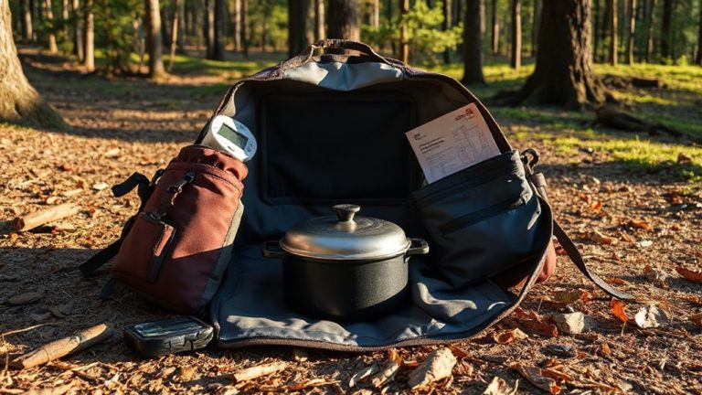
Though GPS is reliable in burned forests, it’s never wise to depend on it alone-batteries fail, signals drop, and devices can be damaged. Signal interference from terrain or heavy canopy can disrupt satellite locks, leaving you without navigation. Even high-end units suffer when battery longevity ends mid-trip. A paper map and baseplate compass don’t need power or signal. They work in total blackouts. You should carry both as backups, and know how to use them. Pairing GPS with these tools balances precision with resilience. Use the GPS for real-time location tracking, but verify your position on a topographic map every 15–20 minutes. Calibrate your compass regularly. This combo reduces risk: when tech fails, you’re not lost. Practice using all three together before emergencies. Relying on multiple systems isn’t overkill-it’s standard for experienced backcountry travel. For reliable direction-finding, choose a best hiking compass that suits your navigation needs.
On a final note
You’ll rely on your GPS when landmarks vanish in burned forests, but it’s not foolproof. Calibrate it early and load topo maps to track elevation shifts that confirm your position. Mark waypoints at junctions and burn scars to avoid drift. Even then, pair your device with a map and compass-battery life and signal loss are real risks. That mix keeps you oriented when terrain offers no clues, giving redundancy without overcomplicating things.