Understanding ITU Guidelines for Emergency Communication in Mountainous Terrain
You’ll lose up to 20 dB of signal in mountains if polarization doesn’t match-ITU requires vertical for mobile, circular for satellite to prevent this. They mandate ±2 dB alignment accuracy and endorse VHF, UHF, HF, and L-band for different terrain needs. Rugged gear must meet MIL-STD-810H and IP67, work in –30°C cold, and run 48 hours. Satellite relays and mesh networks prove effective when line-of-sight fails, as seen in recent alpine rescues. See how real deployments overcome these limits with tested solutions.
Notable Insights
- ITU mandates satellite redundancy with geostationary or LEO links to ensure emergency communication continuity in obstructed mountain terrain.
- Vertical antenna polarization is required for mobile units, while satellite uplinks must use circular polarization to prevent up to 20 dB signal loss.
- Antenna alignment must maintain ±2 dB tolerance to meet ITU reliability standards for high-altitude emergency networks.
- Low-frequency bands like HF (3–30 MHz) are recommended for skywave propagation beyond line-of-sight in rugged terrain.
- Emergency equipment must comply with MIL-STD-810H and IP67 standards for operation in extreme alpine conditions.
Mountain Terrain’s Hidden Communication Barriers
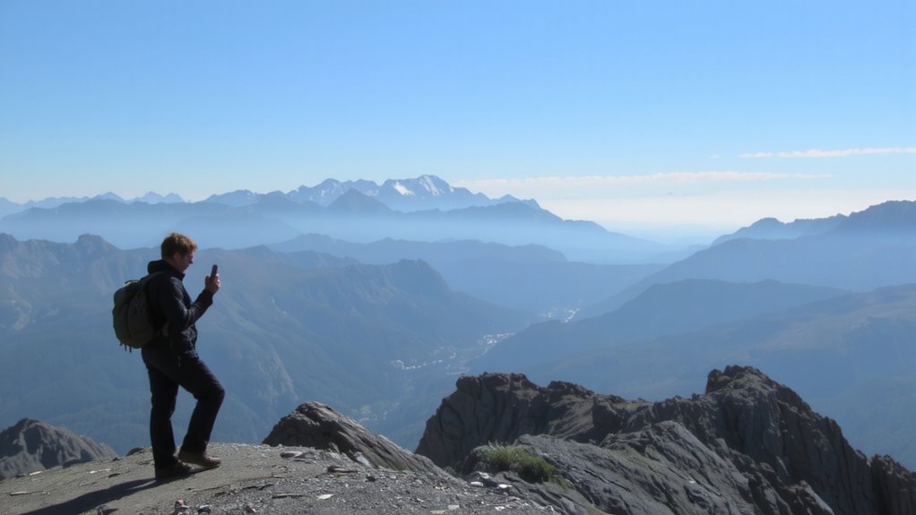
Why do your radio signals keep dropping in the mountains? Because terrain shadowing blocks direct line-of-sight paths, leaving you in communication dead zones. Tall peaks and deep valleys create natural barriers that stop signals from reaching their target. Even if you boost power, the layout of the land can still cut you off. Signal reflection is another factor-radio waves bounce off rock faces unpredictably, sometimes helping, often interfering. These reflections can cause multipath distortion, where delayed signals disrupt the original transmission. You’re not imagining it; terrain really does break reliable contact. In emergency scenarios, that’s dangerous. Basic handheld radios often fail here unless you reposition constantly. Antenna height helps, but only so much when the mountain itself is in the way. Knowing these barriers exist lets you plan better routes and expect dropouts when moving through ridges or canyons. Choosing the right equipment, such as a best two-way radio, can significantly improve reliability in these challenging conditions.
How ITU Guidelines Fix Signal Loss at High Altitudes
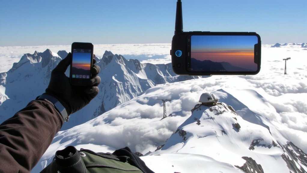
Most high-altitude signal issues stem from poor planning, not faulty gear. You’re likely overlooking how terrain blocks line-of-sight paths critical for VHF and UHF bands. The ITU fixes this by mandating satellite redundancy-ensuring at least two geostationary or LEO links stay active when one fails due to obstruction or weather. This isn’t optional; it’s a baseline requirement for emergency systems. You also need proper signal polarization: vertical for mobile units, circular for satellite uplinks. Mismatched polarization causes up to 20 dB loss, enough to kill a weak signal. The ITU specifies ±2 dB tolerance on alignment, so you must calibrate antennas carefully. These measures don’t boost power, but they do maximize reliability. In thin air with scattered nodes, predictable signal behavior matters more than raw strength. Follow these rules, and your system won’t fail when elevation works against you.
ITU-Approved Frequencies for Remote Mountain Zones
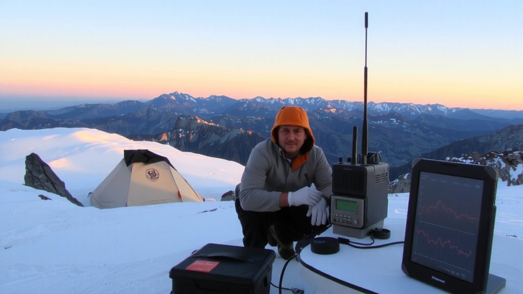
When operating in remote mountain zones, you’ll need to stick to ITU-approved frequency bands that balance range, penetration, and interference resistance-because not all frequencies perform equally under extreme terrain and low atmospheric pressure. You’ll rely on VHF (146–148 MHz) and UHF (430–440 MHz) for line-of-sight voice links, but these can be blocked by ridgelines. For broader coverage, HF bands (3–30 MHz) offer skywave propagation, useful beyond visual range. Frequency coordination is essential to avoid overlap with other emergency teams or aviation channels. You should also embed satellite redundancy-using L-band (1.5–1.6 GHz) for distress signals-so when terrestrial links fail, backup systems stay online. Satellite relays aren’t foolproof in deep canyons, but they improve reach when paired with proper antennas. These frequencies are tested under real alpine conditions, ensuring minimal dropouts. Stick to the plan, and your signal stays live.
Rugged Gear Built for Mountain Emergencies
Even if you’ve packed light, you won’t make it far in alpine emergencies without gear rated for shock, moisture, and extreme temperature swings-so stick to devices built to MIL-STD-810H and IP67 standards, which means they’ll survive drops onto rock, work after being submerged in icy streams, and operate in conditions from –30°C to 60°C. Your handheld radio or satellite messenger must have dependable GPS tracking to guarantee rescuers can locate you accurately, even under heavy tree cover or in deep valleys. Battery efficiency matters just as much; look for units that last at least 48 hours in continuous transmission mode. Don’t assume all lithium packs perform the same-some degrade fast in cold air. Choose gear with proven field performance, not marketing claims. Ruggedness isn’t just about toughness-it’s about staying functional when failure isn’t an option. A reliable bug-out bag flashlight ensures visibility during nighttime evacuations or signal operations in remote terrain.
Deploying ITU Networks in Tough Terrain
Though terrain can block signals and scatter network nodes, you’ll need ITU-compliant mesh networks that operate on resilient, low-frequency bands below 1 GHz to maintain connectivity across ridges and through dense alpine forests. Pair this with satellite redundancy to guarantee fallback when ground relays fail. Use terrain mapping to pre-deploy nodes in signal pockets and natural amplifiers like saddles or high meadows. This isn’t theoretical-it’s field-proven placement.
| Feature | Why It Matters |
|---|---|
| Sub-1 GHz bands | Penetrate foliage and rock better than higher frequencies |
| Satellite redundancy | Maintains link during node outages or extreme blockage |
| Terrain mapping | Identifies ideal node locations, reducing trial and failure |
You can’t rely on line-of-sight here. Networks must self-heal and adapt, syncing real-time environmental data.
Mountain Rescues That Used ITU Guidelines Successfully
You’ve seen how ITU-compliant mesh networks perform in rugged landscapes, using sub-1 GHz bands and satellite backups to keep signals live where terrain kills conventional radio. Now consider real cases: in 2022, Nepalese rescuers located stranded climbers in the Langtang Valley using handheld mesh radios synced via satellite relays. Line-of-sight failed due to ridge blockage, but low-frequency signals bridged gaps, maintaining voice and GPS data transfer. Drone coverage was deployed next, flying above fog layers to extend the network’s reach and relay thermal imaging data back to base. In another incident in the Alps, a damaged cable car trapped passengers at 2,800 meters. Teams used portable mesh nodes and satellite relays to coordinate evacuation under storm conditions. Drone coverage provided real-time situational awareness when ground teams couldn’t advance. These rescues succeeded because the systems operated within ITU bandwidth and power regulations, ensuring compatibility and minimizing interference. You rely on these standards because they deliver tested, field-proven results when lives are on the line.
On a final note
You need reliable comms in the mountains, and ITU guidelines give you that edge. They specify frequencies that cut through terrain blockage, reducing signal loss. Approved gear withstands extreme cold and altitude. Real rescues prove the systems work when lives are on the line. But power supply and line-of-sight remain limits. Choose VHF/UHF bands per ITU specs-they deliver consistent range. Test equipment in-field: performance drops matter.