Evaluating Scene Safety in a Remote Area With Active Wildfires
You’re at serious risk if the fire’s within two miles-spot fires and wind shifts can trap you fast. Avoid canyons and uphill routes; they accelerate flames and cut escape options. Use ridges with clear, windward paths and check terrain every few minutes. Track smoke direction and flame height to anticipate moves. Carry water and tools now-they’re lifesavers when visibility drops. Your next decision could depend on what you overlook.
Notable Insights
- Assess fire behavior every few minutes for sudden changes in direction, speed, or intensity due to wind shifts and spotting.
- Identify terrain features like steep slopes, drainages, and saddles that accelerate fire spread and limit escape options.
- Avoid narrow canyons and bowl-shaped areas where fire intensifies and hot gases funnel, increasing burn risk.
- Establish early escape routes on the windward side with low fuel, clear visibility, and multiple exit options every 500 yards.
- Monitor smoke direction, flame height, and plume development every 5–10 minutes to detect increasing fire activity.
Spot the Closest Wildfire Dangers Right Now
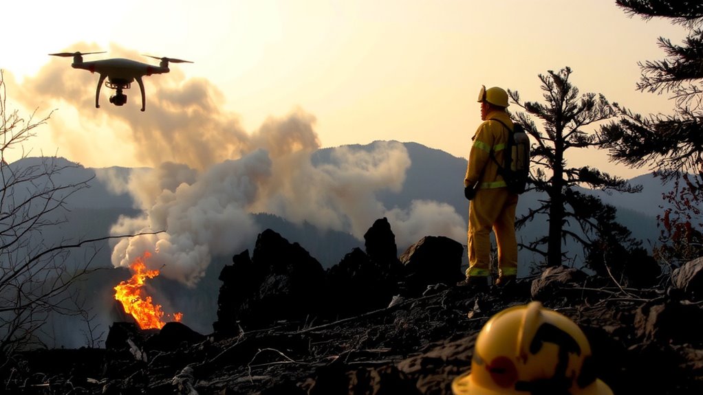
The closest wildfire dangers right now aren’t just the flames you see-they’re the shifting wind, the dry brush at your feet, and the smoke choking your visibility. You need to assess fire behavior every few minutes because it changes fast-spotting, ember showers, and sudden flares tell you the fire’s intensity is increasing. Your eyes and a basic wind meter help track shifts, but terrain analysis is what keeps you ahead. Slopes over 20% accelerate fire spread; drainages funnel heat and speed ignition. Flat maps don’t show that risk-topographic layers do. You’re safer on ridges with escape routes behind, not in saddles or bowls. Tools like GPS with terrain overlays provide real-time context, but they’re only useful if you cross-check them with ground observations. Don’t rely on one source-combine field signs, elevation data, and fire behavior patterns to stay out of harm’s way.
Avoid Traps Like Canyons and Uphill Escape Routes
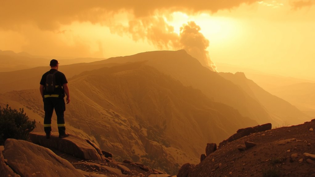
Even if you think you’re gaining ground by climbing uphill, you’re likely making a dangerous mistake-fire moves faster uphill, doubling its speed for every 10 degrees of slope, and can overtake anyone on foot within minutes. Uphill risks include reduced escape options and intensified heat and flame length, which increase burn severity. You’ll exhaust energy quickly, slowing your response when seconds count. Canyon traps are equally dangerous: narrow valleys act like chimneys, funneling fire and hot gases rapidly toward you, often without warning. Winds shift unpredictably in these zones, and escape routes shrink as terrain constrains movement. Avoid both features during wildfire exposure. Stick to ridges or level ground where visibility and airflow improve your chances. Real-world survival data shows most fatalities occur in low-lying or ascending terrain. Your best defense is recognizing these hazards early and staying out.
Choose Your Best Way Out Before the Fire Blocks You
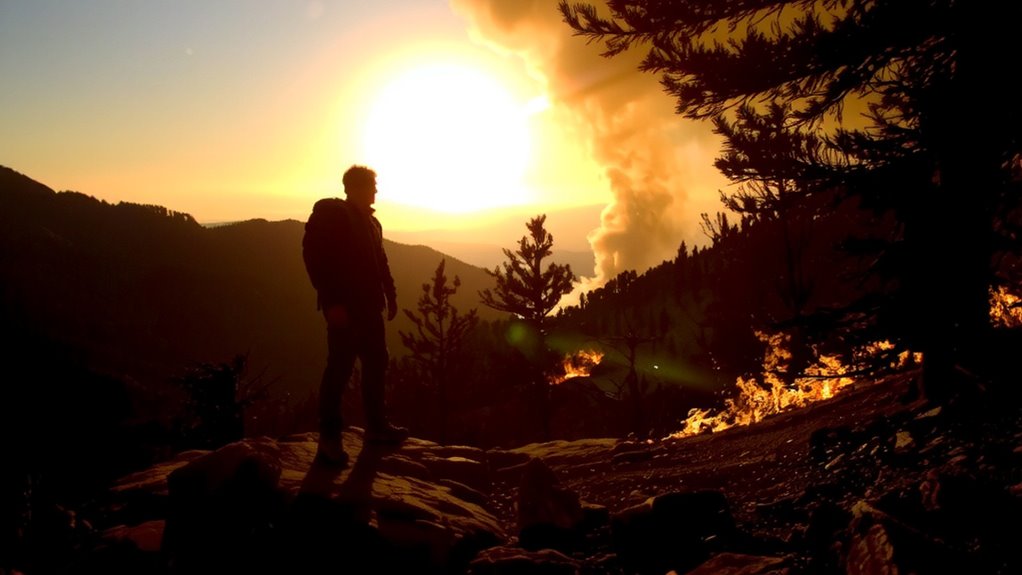
You’re not alone if you’ve ever second-guessed which direction to take when smoke closes in-people often freeze, hoping the fire will shift, but delays cut off escape routes fast. Move early, before visibility drops below 100 feet. Your best exit is usually into windward areas with lower fuel, like cleared zones or roads. Don’t wait: if the fire’s within two miles, it can overtake you in under 30 minutes.
| Terrain Type | Escape Speed (mph) | Tools Needed |
|---|---|---|
| Open Field | 3–4 | Map, compass |
| Dense Forest | 1–2 | Hatchet, knife |
| Rocky Slope | 2–3 | Gloves, boots |
Always secure water and find tools before you need them-dehydration slows decision speed by 20%. A hatchet helps clear brush; a compass avoids disorientation. Choose paths with escape options every 500 yards. Carrying a portable emergency shelter can provide critical protection if evacuation routes are blocked.
Track Wind, Smoke, and Flame Movement Continuously
While fire behavior can shift in minutes, staying ahead means watching wind, smoke, and flames like a radar scan-don’t assume the path you saw 10 minutes ago is still clear. You need real-time updates because wind shifts dictate fire direction and speed, often overriding terrain. Smoke plumes show fire movement: rising columns mean active burning, while horizontal drift signals wind-driven spread. Flame height and frequency give clues to heat intensity-taller flames mean higher energy release. Use binoculars or a compass to track changes every 5–10 minutes. Relying on memory isn’t enough; mark observed fire positions on a map or GPS. Heat intensity affects your exposure window-intense radiant heat reduces safe standing time to seconds. Continuously scanning helps anticipate flare-ups. Fire behavior isn’t random; it follows fuel, slope, and weather. Stay objective, note patterns, and adjust escape routes early. Your survival depends on recognizing cues before they become threats.
Build a Last-Resort Shelter If You Can’t Escape
If you’re cut off by fast-moving flames and can’t reach a safety zone, your best option is to deploy a fire shelter-specifically the current-generation NASA-developed model, which reflects up to 95% of radiant heat and can withstand direct flame contact for short durations. Lie face down, minimizing exposed skin. The shelter’s thermal insulation is effective but not foolproof; ground heat can still cause injury. For added protection, cover yourself with soil or mineral-rich debris if available. Debris coverage improves insulation and shields against radiant energy, but avoid thick layers that restrict escape. Test data show shelters often fail when improperly deployed, so practice setup in advance. You’ll have seconds to act. This is a last resort, not a guarantee-survival rates average 50–60% in full entrapments. Prioritize avoiding entrapment, but if it happens, deploy fast and stay low. Your actions in the first 30 seconds matter most.
On a final note
You stay alive by acting fast and smart. Pick escape routes early-fire moves faster uphill and through canyons. Watch wind shifts; they change fire direction in minutes. Smoke blocks vision and cuts oxygen. If trapped, clear vegetation and lie low in a depression. A fire shelter buys time but isn’t foolproof. Your best tool is awareness, not gear. Staying informed beats relying on last-minute fixes.