Creating Multiple Map Layers in Gaia GPS for Fire, Weather, and Terrain Risk
You can layer live wildfire, weather, and terrain data in Gaia GPS to track real-time trail risks. Toggle InciWeb for active fire perimeters, overlay NWS weather alerts and radar, and use topo maps with 20- or 40-foot contour lines to spot steep slopes. Combining these gives a clear picture of hazards like smoke, storms, or flash flood zones. The app handles multiple layers smoothly, even offline. There’s more to how this setup improves decision-making in dynamic backcountry conditions.
Notable Insights
- Use Gaia GPS to overlay fire, weather, and terrain layers for comprehensive risk assessment during trail navigation.
- Enable the InciWeb layer to view active fire perimeters, smoke detection, and official wildfire updates in real time.
- Layer National Weather Service alerts and radar data to monitor storms, precipitation, and rapidly changing conditions.
- Combine topographic maps with contour lines to identify steep slopes and elevation changes that affect route safety.
- Customize and toggle multiple data layers from NOAA, USGS, and InciWeb while maintaining performance on offline devices.
Why Fire, Weather, and Terrain Matter on the Trail
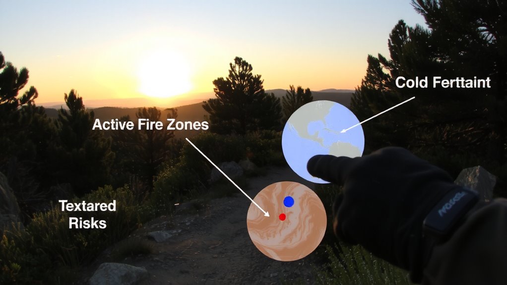
While you can’t control the weather, fire risk, or terrain, you can prepare for them-and that’s where layered map data in Gaia GPS becomes essential. You rely on accurate trail navigation, especially in dynamic environments where fire ecology influences landscape changes. Recent burn areas alter footing, visibility, and escape routes, making real-time awareness critical. Sudden weather shifts impact trail conditions, from mudslides on steep slopes to flash floods in canyons. Gaia GPS lets you overlay topographic, satellite, and land ownership maps, improving route decisions. Layering helps you assess elevation gain, identify water sources, and avoid high-risk zones. You see how terrain complexity interacts with fire history and weather patterns. This isn’t about convenience-it’s about reducing uncertainty. When trail markers disappear or smoke closes a path, layered data gives you options. You stay oriented, adapt quickly, and maintain safety through informed choices, not guesswork.
Find Live Wildfire Data in Gaia GPS
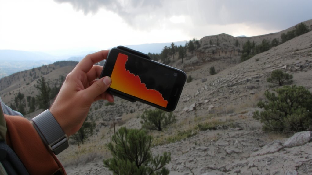
Since real-time wildfire tracking can make a difference in backcountry safety, Gaia GPS gives you direct access to current fire data through the InciWeb layer. You can monitor active fires, assess risk, and adjust routes efficiently. The layer supports fire perimeter tracking, so you see how far flames have spread and how fast they’re moving. When paired with real time smoke detection tools, you get a clearer picture of air quality and visibility hazards nearby.
| Feature | Benefit | Use Case |
|---|---|---|
| InciWeb integration | Official fire reports | Verify fire status before trailhead |
| Fire perimeter tracking | Accurate boundary data | Avoid closed or dangerous zones |
| Real time smoke detection | Visibility & health alerts | Decide whether to reroute |
| Layer toggling | Fast map switching | Compare terrain and fire layers |
| Offline access | Works without signal | Stay informed in remote areas |
Overlay Weather Alerts on Your Map in Gaia GPS
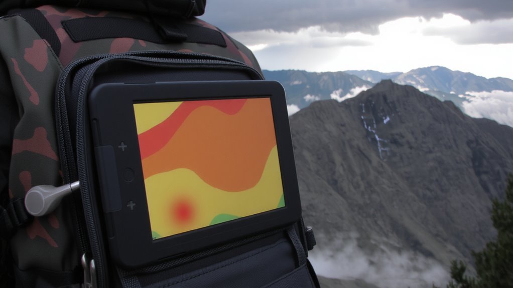
What if you could see severe weather warnings right on your map, not just as icons but layered over the terrain you’re traversing? In Gaia GPS, you can overlay real-time weather alerts directly onto your map, so threats like thunderstorms or high winds appear in context with your route. Enable the weather radar layer to view current precipitation and storm tracking data, which updates every 15 minutes. This helps you spot approaching systems before they reach your location. The alerts come from reliable National Weather Service feeds, giving you accurate storm tracking without guesswork. You can toggle between radar and alert layers to distinguish active conditions from forecasted risks. It doesn’t replace a satellite communicator, but it improves situational awareness. Combined with offline maps, it’s a practical tool for avoiding dangerous weather in remote areas.
See Steep Slopes and Elevation Changes With Topo Maps
Topo maps in Gaia GPS give you a clear view of elevation changes and steep slopes using contour lines spaced at regular intervals-typically 20 or 40 feet, depending on zoom level and terrain. You can adjust the map to see different contour intervals, helping you spot subtle elevation gradients or rapid changes. Tight contour lines mean steep ground; wide spacing suggests flatter terrain. This helps you plan safer routes, especially in rugged areas. Elevation gradients are easy to misjudge without topo data, but with Gaia, you see the real shape of the land. You’re better prepared for climbs, descents, and potential hazards. The map doesn’t sugarcoat the terrain-what you see is what you get. Using contour intervals correctly means you can estimate effort and time more accurately. It’s not about pretty visuals-it’s about practical navigation. No extra fluff, just reliable elevation data when you need it.
Combine Fire, Weather, and Terrain Layers in Gaia GPS
Blending fire, weather, and terrain layers in Gaia GPS gives you a real-time snapshot of environmental risk without guesswork. You can overlay active fire perimeters, wind speed, and temperature data directly onto topographic maps, enabling immediate situational awareness. This data integration pulls from reliable sources like NOAA and USGS, ensuring accuracy when it matters most. With map customization, you choose which layers to display, so you don’t clutter your view with irrelevant info. Turn fire alerts on while toggling elevation contours for steep terrain, or add weather overlays showing wind direction-critical in fast-changing fire zones. Combining these layers doesn’t slow performance, even on older devices. You stay focused, informed, and ahead of developing threats by seeing how fire risk interacts with weather patterns and landscape features, all in one view. It’s practical, efficient, and built for real conditions.
Change Your Route When Hazards Appear
How quickly can you adapt when a wildfire shifts direction or a storm rolls in? With Gaia GPS, real-time hazard detection lets you see evolving threats the moment they appear. You can’t prevent wildfires or storms, but you can make timely route adjustments to stay safe. Overlaying fire, weather, and terrain layers gives you a clear picture of emerging risks. If a red flag warning pops up ahead, you’ll see it immediately. You can reroute around active burn areas or avoid exposed ridgelines before lightning hits. These route adjustments aren’t guesses-they’re data-driven decisions based on current conditions. The app updates every 15 minutes, ensuring hazard detection stays accurate. Ignoring these alerts increases risk; using them improves situational awareness. Gaia GPS doesn’t automate decisions, but it provides the tools to make informed changes fast.
On a final note
You can track fire, weather, and terrain risks in real time using Gaia GPS. Layering live wildfire data, weather alerts, and topo maps gives you objective situational awareness. Steep slopes and elevation changes show clearly on topo layers, while weather and fire overlays update frequently. Combining them helps you adjust routes before hazards become threats. It’s not foolproof-signal and battery life limit reliability-but with planning, it’s a practical tool for informed off-grid decisions.